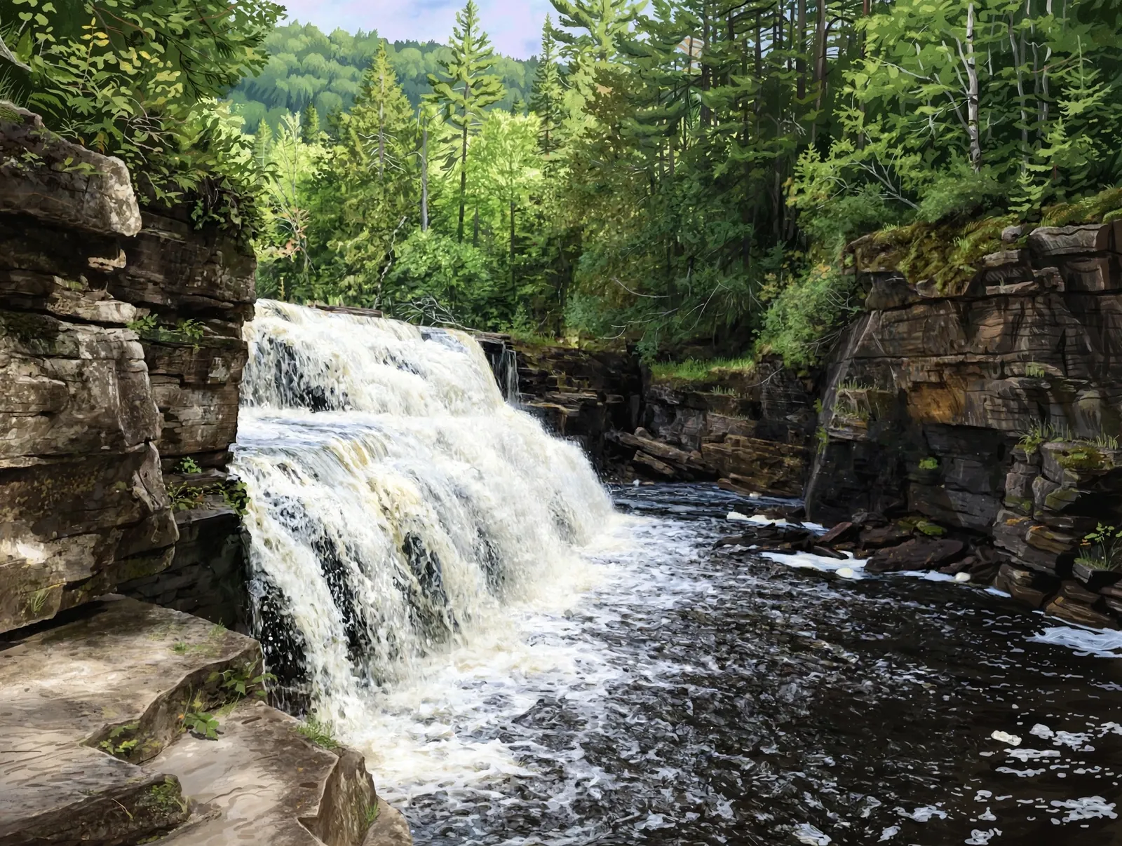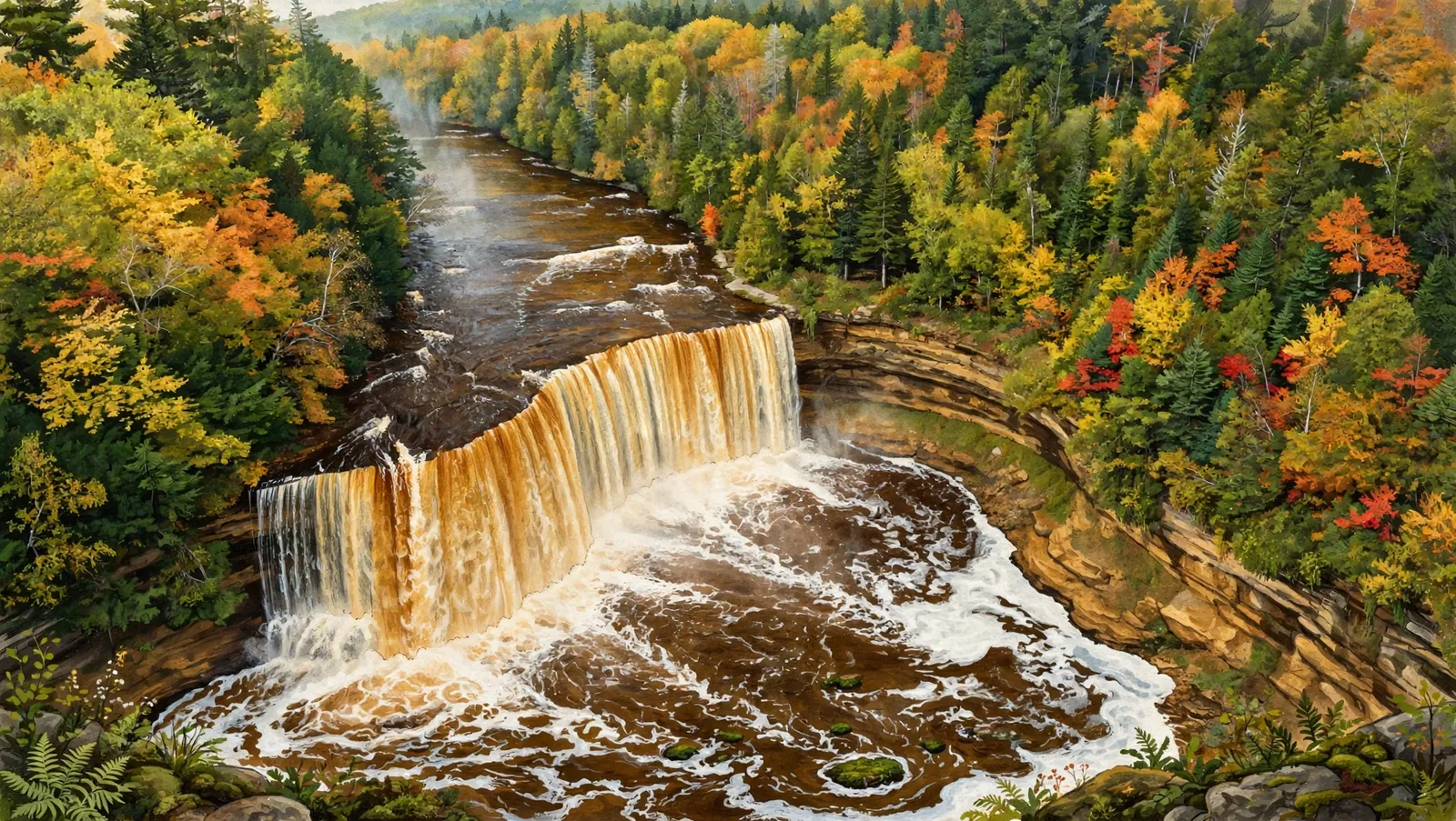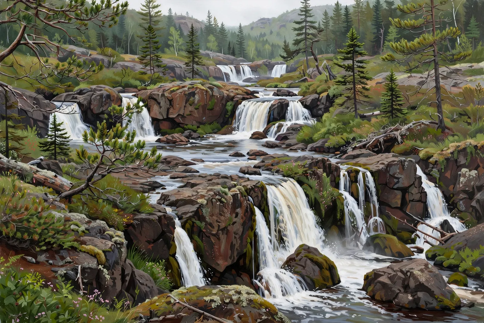
Big Garlic River Falls is a set of drops on the Big Garlic River in the Huron Mountain area north of Marquette. At least five noticeable drops are said to exist along this stretch of the river.
The largest drop is a cluttered, photogenic set of chutes where the river splits over craggy volcanic rock. It’s a small waterfall, but the remote foothill setting makes the trip worthwhile.
A cascade spreads the water over a run of ledges rather than a single drop, so the view shifts with every few steps along the bank.
About the falls
Big Garlic River Falls isn’t one big drop but a short series of cascades on the Big Garlic River. The main drop — listed at about 25 feet in total — pushes through several chutes over broken volcanic rock, ringed by low brush and scraggly pines. A cabin sits downstream of the falls, so stick to the river corridor.
Big Garlic River Falls is one of 37 waterfalls in this guide’s Marquette County listing, in the Central U.P.
Getting there
From Marquette, take County Road 550 north about 13 miles, then turn left onto Gold Mine Road. Drive uphill 3.5 miles to a small wooden bridge over the Big Garlic River, park there, and follow the river downstream less than half a mile to the falls.
When to visit
Big Garlic River Falls is a 25-foot cascade near Big Bay in Marquette County. Trail: 1 mi RT, rated moderate. Parking: Small wooden bridge over the Big Garlic River on Gold Mine Road; park and follow the river downstream. GPS for the falls: 46.67083, -87.68083.
Best season: Spring for peak flow.
Good to know
- The falls are unsigned — bring offline maps or a GPS and expect some bushwhacking.
- Stay on public land along the river; a private cabin sits downstream of the falls.
- The dirt roads here are remote — let someone know your plans.
Waterfalls nearby
- Big Pup Falls — Big Bay, about 3 miles away
- Yellow Dog Falls — Big Bay, about 4 miles away
- Bushy Creek Falls — Big Bay, about 4 miles away
Frequently asked questions
How big is Big Garlic River Falls?
The main drop is listed at about 25 feet, though accounts describe it as a modest, cluttered set of chutes rather than one big plunge.
Is the trail marked?
No — there’s no official trail. Follow the river downstream from the wooden bridge on Gold Mine Road.
- Hours, fees, road conditions, and access change — verify with the managing park or visitor bureau close to departure.
- Cell service is thin across much of the peninsula. Download offline maps and tell someone your route.