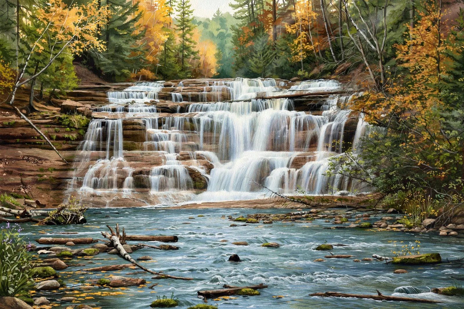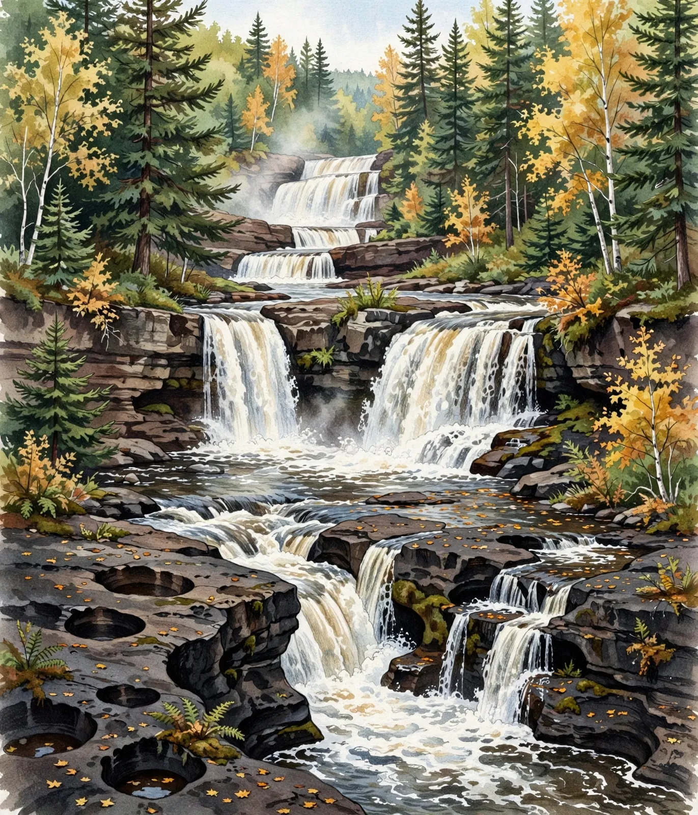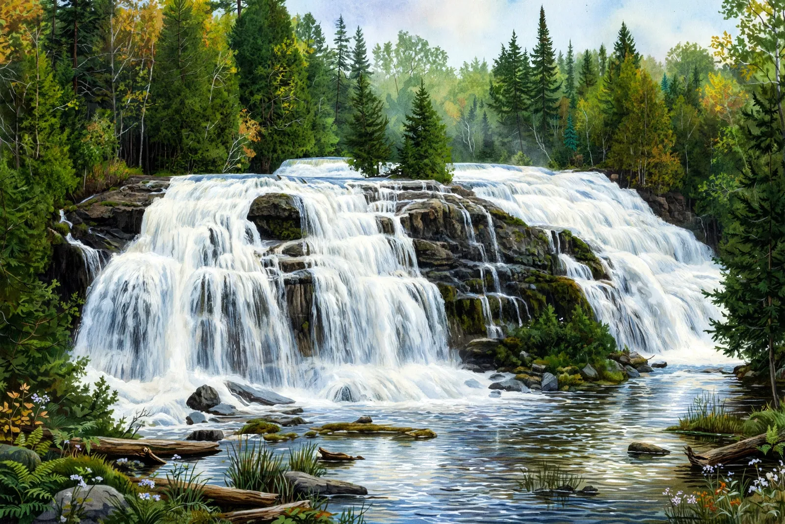
Few waterfalls in Michigan photograph as well as Bond Falls. Fifty feet high and a hundred feet wide, the falls spill from the middle branch of the Ontonagon River over a staircase of rock ledges, spreading into a broad, shimmering curtain that looks different — and spectacular — from every angle.
What sets Bond Falls apart is how easy it is to enjoy. A paved walkway and a well-maintained boardwalk ring the falls, with viewing platforms at several heights, so visitors of all ages and abilities can get close without any real hiking.
Bond Falls has a way of turning first-time visitors into repeat ones. The combination of scale, easy access, and the endless variety of angles means no two visits — and no two photographs — are quite the same.
A cascade spreads the water over a run of ledges rather than a single drop, so the view shifts with every few steps along the bank.
About the falls
The falls are one of the largest and most impressive in Michigan, and the setting — quiet forest, the steady rush of water, picnic spots nearby — makes it easy to linger. For those who want more than the overlooks, the moderate Bond Falls Loop Trail winds through the surrounding woods for a more immersive look at the river.
Bond Falls is a favorite among photographers in every season: spring runoff at full roar, green summer forest, fiery fall color, and a frozen, glittering giant in winter.
The viewing platforms are the main event, but do not skip the short walk upstream and downstream along the river. The Ontonagon River above the falls is a lovely, quiet stretch of water, and the forest trails around the site are especially beautiful in October.
Bond Falls is one of 22 waterfalls in this guide’s Ontonagon County listing, in the Western U.P.
Getting there
Bond Falls is near Watersmeet in the western Upper Peninsula. From Watersmeet, head north on US-45 for about 8 miles, then turn onto Bond Falls Road and follow it for roughly 3 miles to the large, well-marked parking area.
From the lot it is less than a quarter-mile on a paved walkway to the falls, with boardwalks and viewing platforms offering excellent vantage points along the way.
The site is also a natural stop on a longer western U.P. driving tour: from Bond Falls it is a short hop to Agate Falls and the Bruce Crossing area, or west toward the Porcupine Mountains. Pack a picnic — the grounds near the falls are made for lingering.
When to visit
Bond Falls is a 50-foot cascade near Watersmeet in Ontonagon County. Trail: accessible boardwalk; about 1 mi loop, rated easy. Parking: Paved lot at the trailhead off Bond Falls Rd; 600-ft boardwalk to the falls. Fees: Michigan Recreation Passport required. GPS for the parking area: 46.40975, -89.13500.
Best season: Spring for peak flow; fall for color.
The DNR says vehicle access is typically mid-May through mid-October, depending on weather, while the hiking trail is open year-round and is not monitored or groomed for snow and ice. See the frozen waterfalls guide.
Good to know
- Entry is covered by the Michigan Recreation Passport — one pass works at every state park and scenic site on your trip, and there is no separate parking fee.
- The boardwalk can be slick when wet or icy; wear shoes with good grip.
- Layers and a waterproof jacket are wise; U.P. weather changes fast.
- Bring insect repellent in the warmer months, plus a camera — this is a photographer’s paradise.
- Weekday mornings are the quietest time to have the boardwalk nearly to yourself.
Waterfalls nearby
- Rock Bluff Falls — Bruce Crossing, about 3 miles away
- Agate Falls — Bruce Crossing, about 5 miles away
- Mex-I-Min-E Falls — Watersmeet, about 8 miles away
Frequently asked questions
Is Bond Falls accessible for all ages?
Yes — a paved walkway and boardwalk with viewing platforms make it one of the most accessible major falls in the U.P.
Is there a longer hike nearby?
Yes — the moderate Bond Falls Loop Trail winds through the surrounding forest for a more immersive visit.
- Hours, fees, road conditions, and access change — verify with the managing park or visitor bureau close to departure.
- Cell service is thin across much of the peninsula. Download offline maps and tell someone your route.