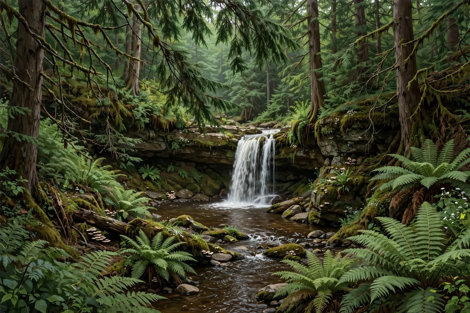
A 10-foot chain of sliding drops on Cedar Creek, with the main falls on private Huron Mountain Club land.
About the falls
Cedar Falls is a short chain of sliding drops on Cedar Creek ending in a deep, sandy pool. Waterfalls of the Keweenaw lists about 10 feet high and 3 feet wide. The main falls are just inside the private Huron Mountain Club property, while a smaller upper drop sits on public land. The guide notes that Northwestern Road is poorly maintained and often blocked by washouts or downed trees.
Cedar Falls is one of 37 waterfalls in this guide’s Marquette County listing, in the Central U.P.
Getting there
From Big Erick’s Bridge, head east on Erick’s Road for 4 miles and turn left onto Northwestern Road. After 3 miles turn left at the “hubcap” intersection and stay on Northwestern Road. Cedar Creek crosses the road 2.2 miles later. Park near the crossing and walk downstream; the main falls are just inside club land, so stay on the public side.
When to visit
Cedar Falls is a 10-foot waterfall near Big Bay in Marquette County. Trail: main falls on private club land; an upper drop is on public land. Parking: Muddy pull-off near the Cedar Creek crossing on Northwestern Road, if the road is passable. No verified GPS coordinates are published for this falls.
Good to know
- The main falls are on private Huron Mountain Club land; stay on the public side.
- Northwestern Road is poorly maintained and often blocked by washouts or downed trees.
Frequently asked questions
How tall is Cedar Falls?
About 10 feet high and 3 feet wide, according to Waterfalls of the Keweenaw.
Is it on public land?
The main falls are just inside private Huron Mountain Club land; an upper drop is on public land.
- Hours, fees, road conditions, and access change — verify with the managing park or visitor bureau close to departure.
- Cell service is thin across much of the peninsula. Download offline maps and tell someone your route.