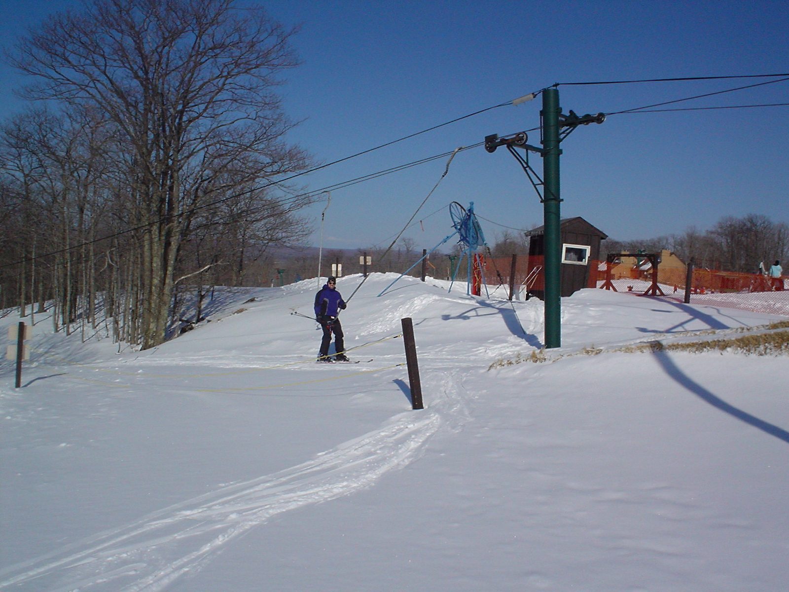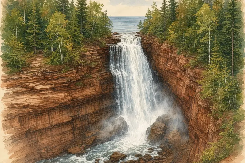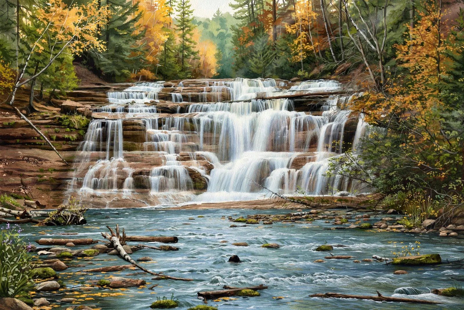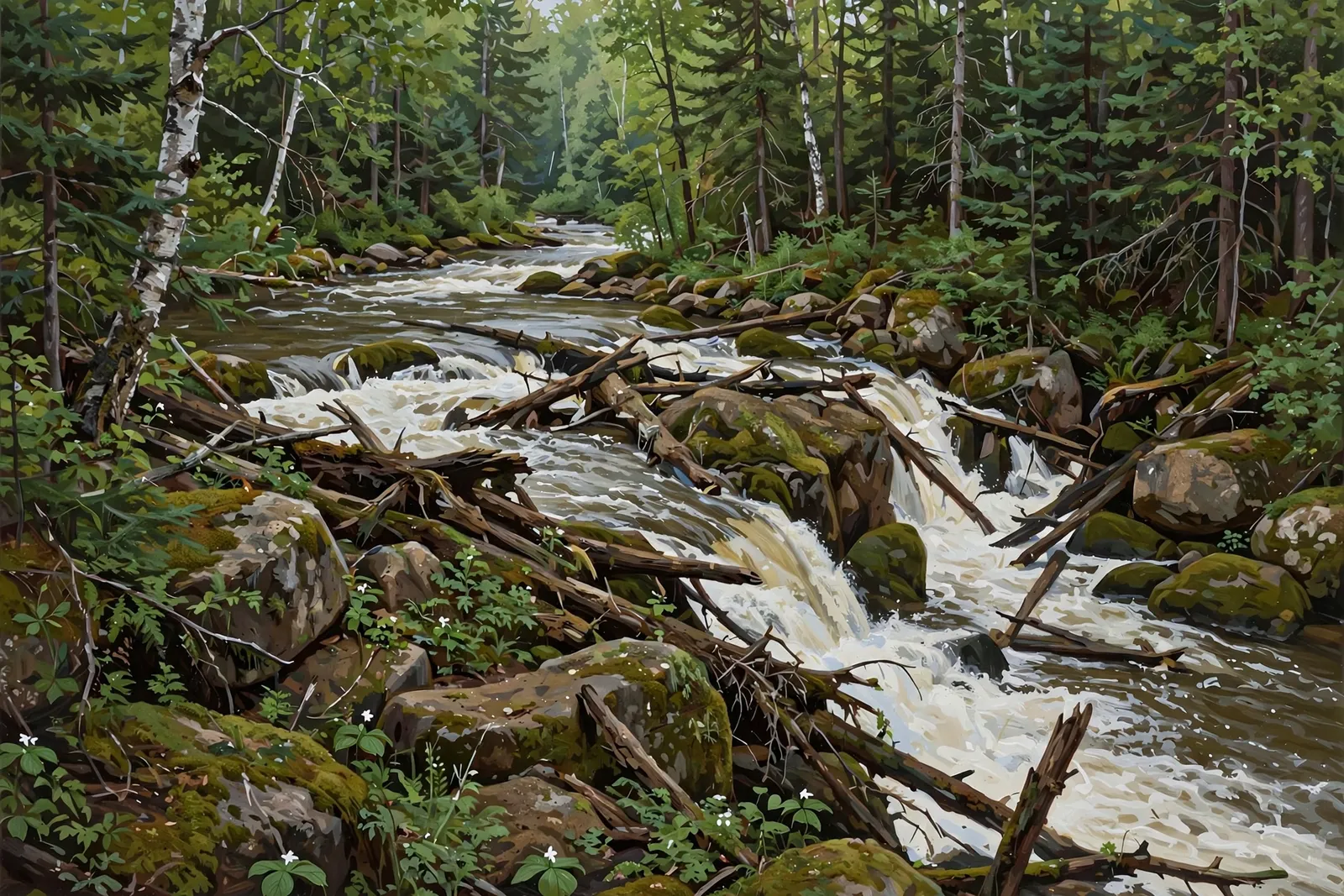
A short set of rapids, about 2 feet high and 15 feet wide, on the Black River below Copper Peak, reached by a short informal path along power lines.
Rapids are a steep, rocky stretch of whitewater rather than a single drop — they are about sound and energy more than height.
About the falls
Chippewa Falls is a rugged set of rapids on the Black River near Copper Peak. Waterfalls of the Keweenaw lists about 2 feet high and 15 feet wide, and rates it low at 0.5 out of 5. The route follows power lines downhill from a pull-off beside a dilapidated building, and the guide says bike-path construction may make the riverbanks difficult to navigate.
Chippewa Falls is one of 32 waterfalls in this guide’s Gogebic County listing, in the Western U.P.
Getting there
Drive Route 513 north of Bessemer to the cutoff road to Copper Peak. Where the road makes a box-shaped bend to the right past the peak and tourist shop, park on the far side of the box next to the dilapidated building and walk to the power lines. Follow the lines downhill toward the river to the rapids. The walk is short but not well defined, so note your surroundings for the return.
When to visit
Chippewa Falls is a set of rapids near Ironwood in Gogebic County. Height: About 2 ft (15 ft wide). Trail: short, informal path along power lines, rated easy. Parking: Far side of the box-shaped bend on the Copper Peak road, next to the dilapidated building. GPS for the falls: 46.59884, -90.08212.
Best season: Spring for peak flow.
Good to know
- The path is short but poorly defined; note your surroundings for the return.
- Bike-path construction may make the riverbanks hard to navigate.
Waterfalls nearby
- Algonquin Falls — Ironwood, about 1 mile away
- Black River Waterfalls — Bessemer, about 3 miles away
- Manakiki Falls — Bessemer, about 3 miles away
Frequently asked questions
How tall is Chippewa Falls?
About 2 feet high and 15 feet wide, according to Waterfalls of the Keweenaw. It is a set of rapids rather than a tall drop.
Is there a marked trail?
No. A short informal path follows power lines downhill to the river.
- Hours, fees, road conditions, and access change — verify with the managing park or visitor bureau close to departure.
- Cell service is thin across much of the peninsula. Download offline maps and tell someone your route.