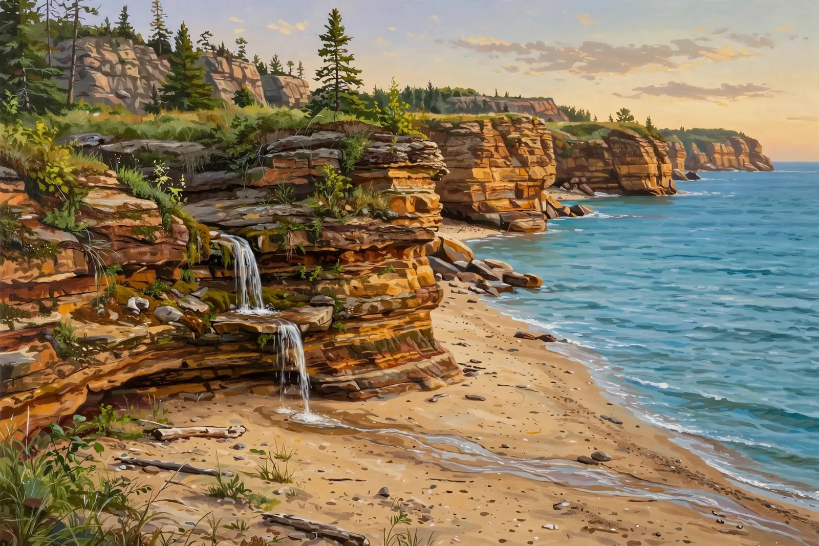
A small waterfall of about 2 feet at the far east end of Miners Beach, where the beach meets the cliffs, a couple of hundred yards from the beach staircase.
A plunge falls drops in a single, mostly free-falling sheet, and it is usually most impressive when the water is high.
About the falls
Elliot Falls (also called Miners Beach Falls) is a small waterfall at the far eastern end of Miners Beach in Pictured Rocks National Lakeshore, where the beach meets the cliffs. The National Park Service describes a short walk from the parking lot at the east end of Miners Beach Road to a staircase down to the beach, with the falls a couple of hundred yards to the right. The NPS lists it at about 2 feet over two short drops; some visitor guides say three or four feet. It is the setting, not the size, that draws people. The creek can run low in late summer.
Elliot Falls is one of 25 waterfalls in this guide’s Alger County listing, in the Central U.P.
Getting there
From Munising, take H-58 east and turn north toward Miners Castle and Miners Beach. Park in the lot at the east end of Miners Beach Road, walk to the staircase down to the beach, and turn right. The NPS puts Elliot Falls about a couple of hundred yards along the beach, at the far east end where the beach meets the cliffs.
When to visit
Elliot Falls is a 2-foot plunge waterfall near Munising in Alger County. Trail: short walk, rated easy. Parking: Lots at either end of Miners Beach on Miners Beach Road; the falls are at the east end of the beach. Fees: National park pass required. No verified GPS coordinates are published for this falls.
Best season: Spring or after rain.
Good to know
- Visit in spring or after rain; the creek can run low or dry in late summer.
- Sunset light on the beach and cliffs is a favorite with photographers, according to the NPS.
- A national park pass is required.
Frequently asked questions
How tall is Elliot Falls?
The National Park Service lists it at about 2 feet over two short drops. Some visitor guides say three or four feet.
Is it easy to reach?
Yes. The NPS describes a short walk from the east-end lot to a staircase down to the beach, then a couple of hundred yards to the right.
- Hours, fees, road conditions, and access change — verify with the managing park or visitor bureau close to departure.
- Cell service is thin across much of the peninsula. Download offline maps and tell someone your route.