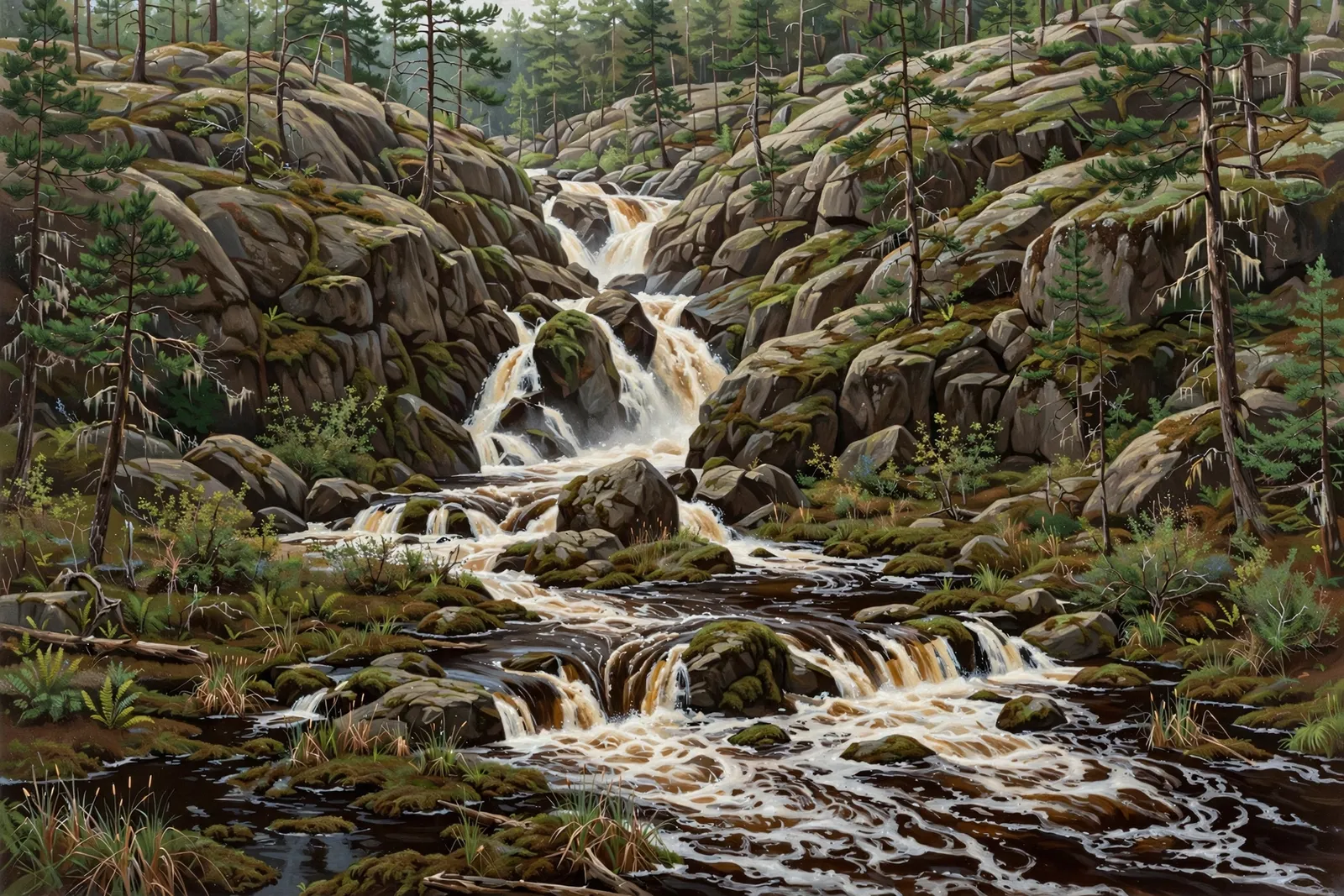
A small cascade of about 4 feet in several chutes on the Peshekee River between two swamps, reached by a short trail from the Peshekee Grade north of Michigamme.
A cascade spreads the water over a run of ledges rather than a single drop, so the view shifts with every few steps along the bank.
About the falls
Haypress Falls (listed by Waterfalls of the Keweenaw as Haypress Dam Falls) is a small drop of about 4 feet and 3 feet wide on the Peshekee River, between two swamps. A 2019 hiking blog describes several small chutes and rock mounds and barely a trickle of water in late August, so flow matters. Waterfalls of the Keweenaw and ShorelineScout list the falls in Baraga County, and the listed coordinates (46.68235, -88.12584) fall in Baraga County in the U.S. Census block data, so this guide lists it under Baraga County.
Haypress Falls is one of 30 waterfalls in this guide’s Baraga County listing, in the Western U.P.
Getting there
Take the Peshekee Grade north from US-41, just east of Michigamme, for 14.8 miles. A small pull-off sits on the right side of the road near one of the rock cuts. Park here and follow the trail that leads down to the river (Waterfalls of the Keweenaw).
When to visit
Haypress Falls is a 4-foot cascade near Michigamme in Baraga County. Trail: short trail. Parking: Small pull-off near a rock cut on the Peshekee Grade. No verified GPS coordinates are published for this falls.
Best season: Spring for peak flow.
Good to know
- Flow can be very low in late summer; spring is the better bet.
- The pull-off is 14.8 miles up the Peshekee Grade from US-41; carry offline maps.
- Look for the rock cut on the right side of the road.
Frequently asked questions
How tall is Haypress Falls?
About 4 feet, a small multi-chute drop between two swamps, according to Waterfalls of the Keweenaw.
Where is Haypress Falls?
On the Peshekee River north of Michigamme, reached from the Peshekee Grade. Waterfalls of the Keweenaw lists it in Baraga County; this guide lists it under Baraga County.
- Hours, fees, road conditions, and access change — verify with the managing park or visitor bureau close to departure.
- Cell service is thin across much of the peninsula. Download offline maps and tell someone your route.