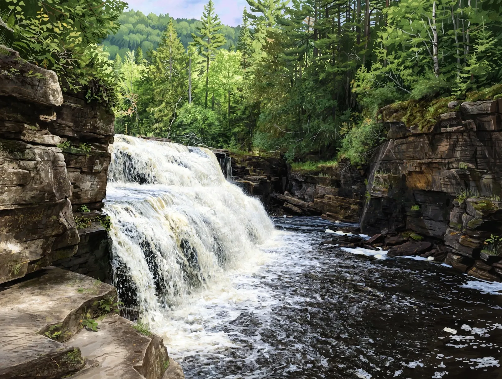
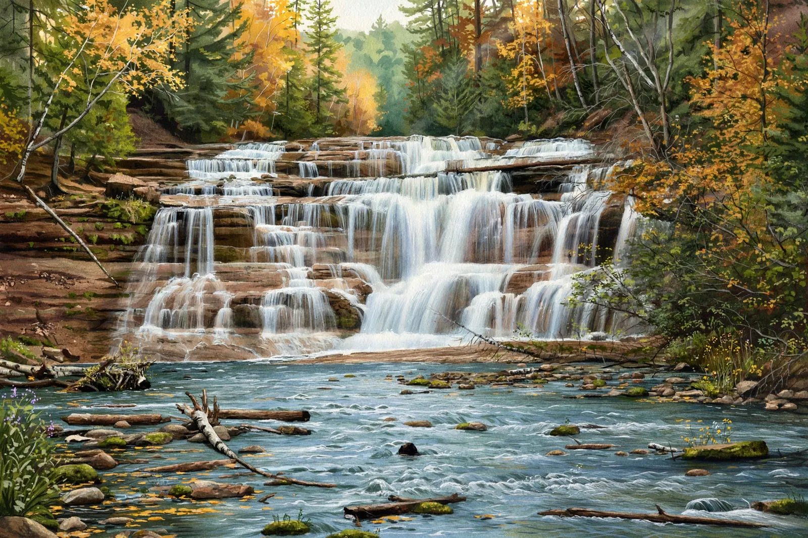
A wide, stepping cascade of about 3 feet on the West Branch of the Sturgeon River in the Ottawa National Forest near Nisula, with no marked path.
A cascade spreads the water over a run of ledges rather than a single drop, so the view shifts with every few steps along the bank.
About the falls
Hogger Falls is a wide, stepping cascade cut at an odd angle across the West Branch of the Sturgeon River in Houghton County. Waterfalls of the Keweenaw lists it at about 3 feet tall and 6 feet wide, the first of a chain of drops between two swampy sections of the river, with no marked path. West Branch Sturgeon Falls, listed at 10 feet in total, is a short distance away, and the guide suggests visiting it first and following the river upstream.
Hogger Falls is one of 15 waterfalls in this guide’s Houghton County listing, in the Western U.P.
Getting there
Take Newberry Road south from M-38 near Nisula, beyond the unimproved sign, to where it ends at the West Branch Sturgeon River. Backtrack up the road for a quarter mile to the first overgrown, gated forest access road leading east, follow it on foot for about half a mile, then cut right down the river bank for a few hundred feet to the falls, just upstream of the big sandy curved bank (Waterfalls of the Keweenaw).
When to visit
Hogger Falls is a 3-foot cascade near Nisula in Houghton County. Trail: under 1 mi, no marked path, rated moderate. Parking: Forest-road pull-offs near the West Branch Sturgeon River off Newberry Road; expect unimproved roads. GPS for the falls: 46.72244, -88.80458.
Best season: Spring for peak flow.
Good to know
- There is no marked path; carry a GPS with downloaded maps.
- The forest road is gated and overgrown; plan to walk.
- Spring runoff shows the river at its fullest.
Waterfalls nearby
- West Branch Sturgeon Falls — Nisula, about 1 mile away
- Otter Falls — Alston, about 7 miles away
- Sturgeon Falls — Baraga, about 8 miles away
Frequently asked questions
How tall is Hogger Falls?
Waterfalls of the Keweenaw lists about 3 feet tall and 6 feet wide.
Is there a trail to Hogger Falls?
No marked path. You walk an overgrown gated forest road for about half a mile and then cut down the river bank.
- Hours, fees, road conditions, and access change — verify with the managing park or visitor bureau close to departure.
- Cell service is thin across much of the peninsula. Download offline maps and tell someone your route.