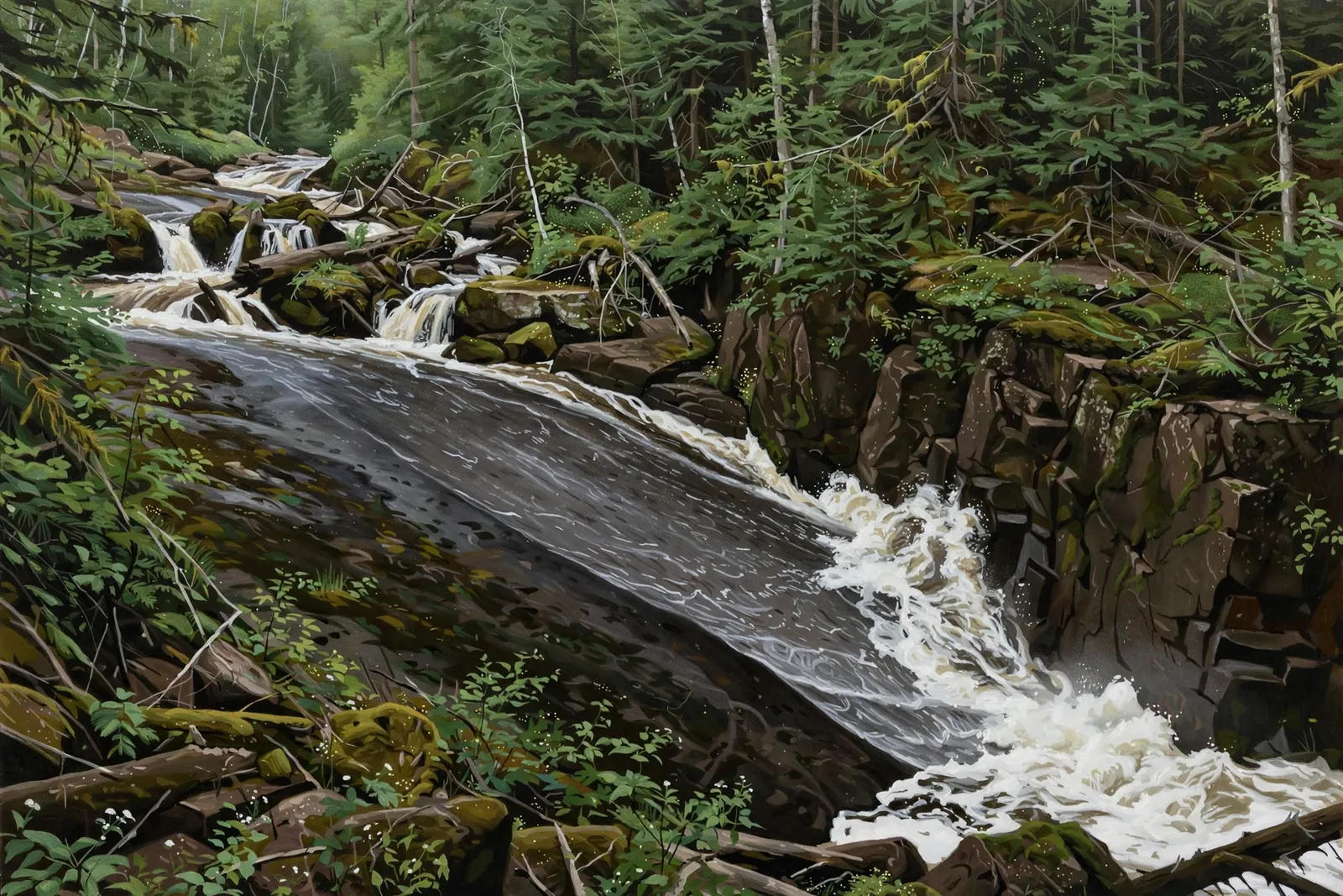
A 7-foot sideways slide on the Big Garlic River that crashes into a rock wall; both banks are private.
A slide falls runs down a sloping rock face instead of dropping freely, so the water stays in contact with the stone all the way down.
About the falls
Lower Big Garlic Falls is a unique drop over dark rock where the whole river slides sideways down a smooth slab before thundering into a solid rock wall. Waterfalls of the Keweenaw lists about 7 feet high and 7 feet wide, with small, cluttered cascades upstream. Land on both banks is private and the owners have asked visitors to stay off it; the guide says the only ways in are to wade up the riverbed from County Road KE or ask permission first.
Lower Big Garlic Falls is one of 37 waterfalls in this guide’s Marquette County listing, in the Central U.P.
Getting there
Waterfalls of the Keweenaw says to park on County Road KE where it crosses the river, just off County Road 550, and wade up the riverbed rather than using the banks, because both banks are private and the owners have asked visitors to stay off. Give the cabin just off 550 a wide berth. Ask permission before any visit.
When to visit
Lower Big Garlic Falls is a 7-foot slide waterfall near Big Bay in Marquette County. Trail: no public trail; land on both banks is private. Parking: County Road KE where it crosses the Big Garlic River, just off County Road 550. No verified GPS coordinates are published for this falls.
Good to know
- Both banks are private; the owners have asked visitors to stay off them.
- Wading the riverbed is the guide’s suggested approach; check conditions and ask permission.
Frequently asked questions
How tall is Lower Big Garlic Falls?
About 7 feet high and 7 feet wide, according to Waterfalls of the Keweenaw.
Can I visit?
Both banks are private. The guide says the only ways in are wading up the riverbed from County Road KE or asking permission first.
- Hours, fees, road conditions, and access change — verify with the managing park or visitor bureau close to departure.
- Cell service is thin across much of the peninsula. Download offline maps and tell someone your route.