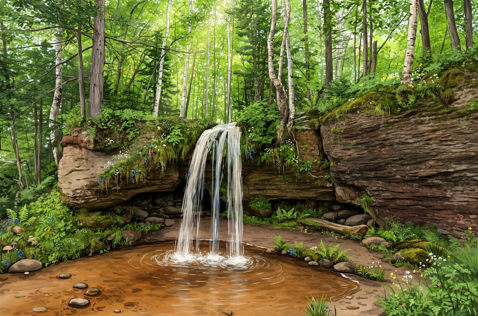
A small tumble of about 3 feet over boulders on the Cliff River, listed by Waterfalls of the Keweenaw as Lower Cliff Falls, just above a canyon in remote Huron Mountain country.
A cascade spreads the water over a run of ledges rather than a single drop, so the view shifts with every few steps along the bank.
About the falls
This falls is listed by Waterfalls of the Keweenaw as Lower Cliff Falls on the Cliff River in Marquette County, and the slug "Lower Cliff Falls" on this page appears to be a spelling slip. The guide lists it at about 3 feet tall and 4 feet wide, a small tumble down a large set of boulders just before the river enters a deep canyon. Cliff Falls, a separate falls, lies upstream.
Lower Cliff Falls is one of 37 waterfalls in this guide’s Marquette County listing, in the Central U.P.
Getting there
Waterfalls of the Keweenaw describes a long forest-road route from Big Erick’s Bridge: east on Erick’s Road for 4 miles, left on Northwestern Road for 2.2 miles, left past the Cliff Falls Hunting Club, then about 2.5 more miles to the Cliff Falls camping site, and on from there by a worsening road that fords the Cliff River, ending about a quarter mile upstream of the falls. Land along the route is a mix of private and forest ownership; verify land status first.
When to visit
Lower Cliff Falls is a 3-foot cascade near Big Bay in Marquette County. No verified trail length or difficulty rating is published for this falls. No verified GPS coordinates are published for this falls.
Good to know
- This is an obscure, little-visited falls — confirm current land ownership before going.
- The gorge is steep and brushy; wear sturdy boots and expect slow going.
- Cell service is unreliable in the Huron Mountains — carry offline maps.
Frequently asked questions
How tall is Lower Cliff Falls?
Waterfalls of the Keweenaw lists it as Lower Cliff Falls at about 3 feet tall and 4 feet wide.
Is there a public route?
The route Waterfalls of the Keweenaw describes follows long forest roads that pass a hunting club; ownership is mixed, so verify land status before going.
- Hours, fees, road conditions, and access change — verify with the managing park or visitor bureau close to departure.
- Cell service is thin across much of the peninsula. Download offline maps and tell someone your route.