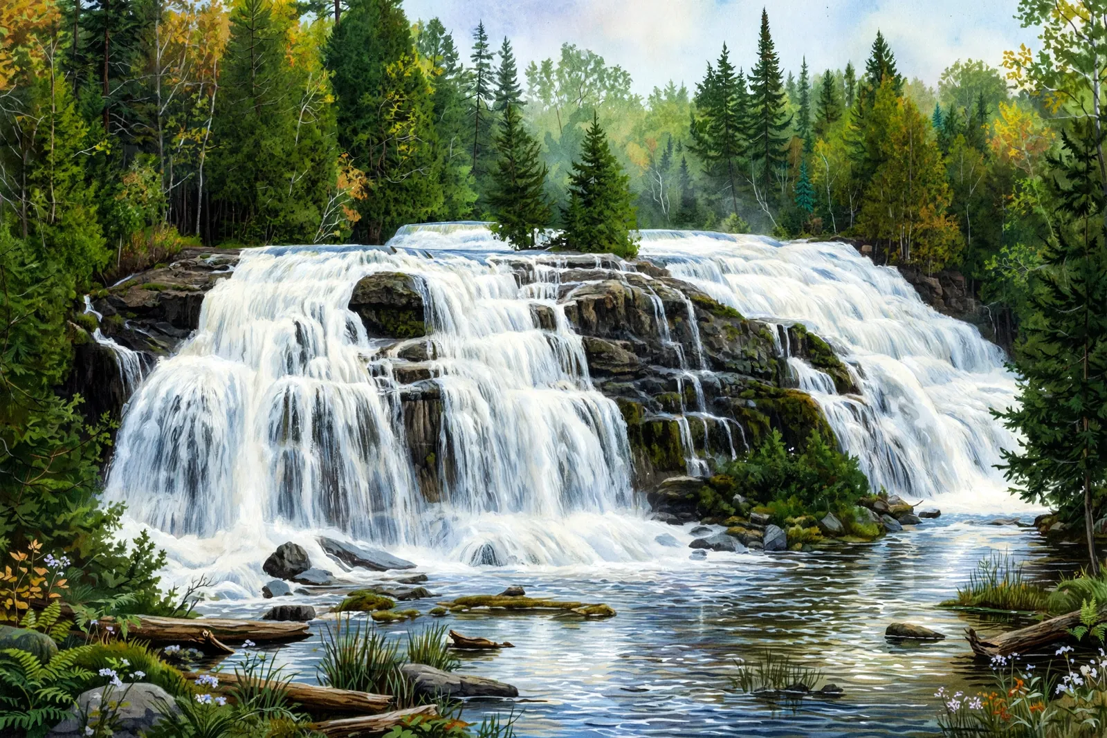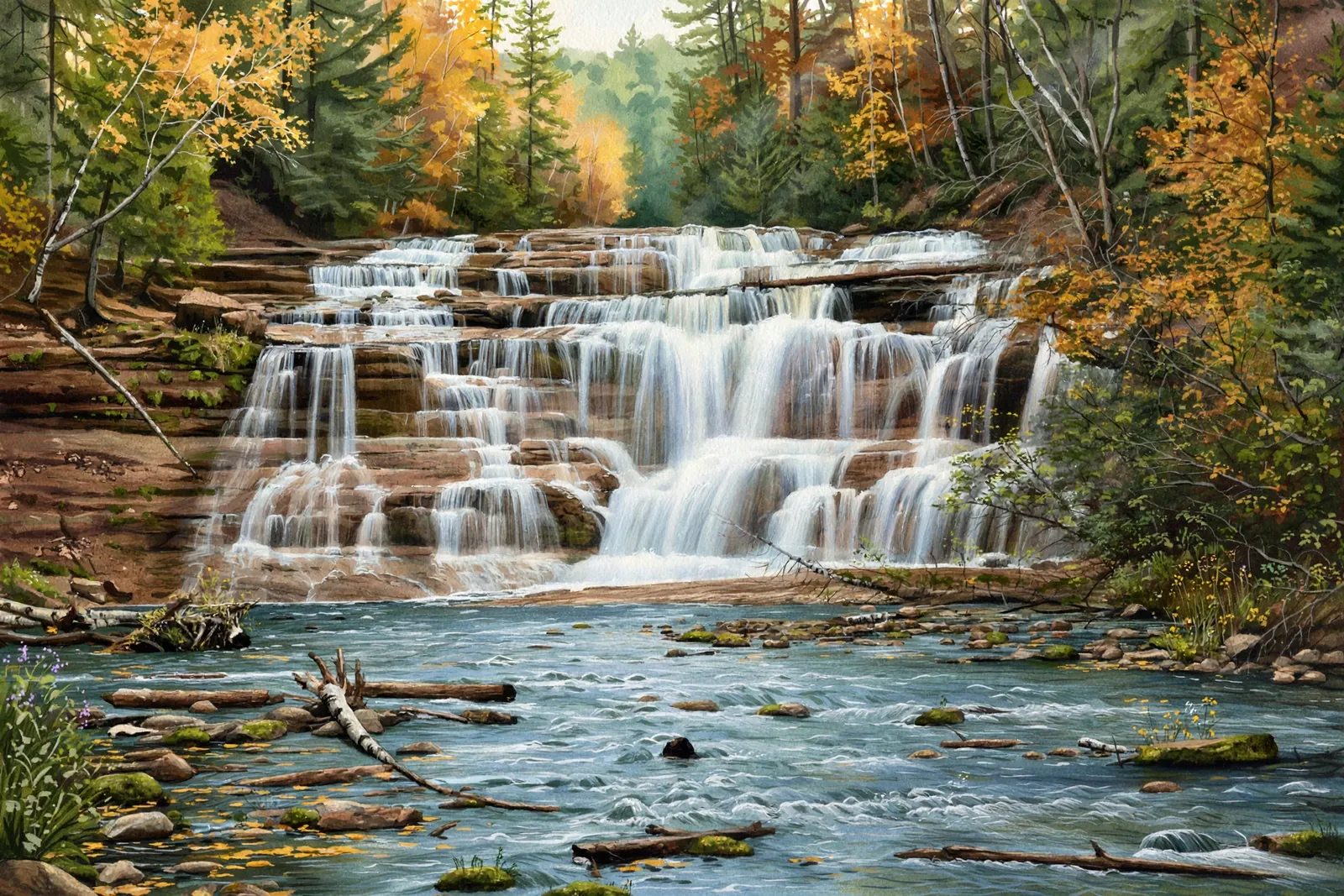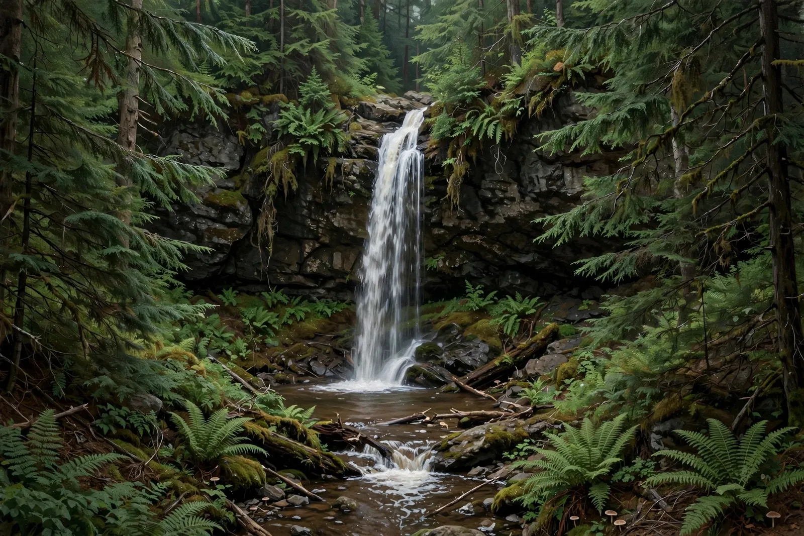
A 25-foot cascade tucked deep in the woods along Maple Creek, just 150 feet upstream of Maple Creek Falls — a quiet detour off the Black River corridor.
A cascade spreads the water over a run of ledges rather than a single drop, so the view shifts with every few steps along the bank.
About the falls
Manakiki Falls (sometimes spelled Manakik) sits on Maple Creek west of the Black River gorge, about 150 feet upstream of Maple Creek Falls. The 25-foot drop is tucked away in the woods with little room for photos, which keeps it a local secret compared with its famous neighbors on the Black River. Reach it via the Maple Creek bridge and the trail south along the creek’s west side.
Manakiki Falls is one of 32 waterfalls in this guide’s Gogebic County listing, in the Western U.P.
Getting there
In Bessemer, head north on County Road 513; just past the Potawatomi and Gorge Falls signs, turn left on Maple Creek Road. Park at the gate and hike to the Maple Creek bridge. Cross the bridge and pick up the trail south on the west side of the creek to reach the falls.
When to visit
Manakiki Falls is a 25-foot cascade near Bessemer in Gogebic County. Trail: 2.4 mi RT, rated moderate. Parking: Gate pull-off on Maple Creek Rd off Co Rd 513. GPS for the falls: 46.64084, -90.11199.
Best season: Spring for peak flow.
Good to know
- Park at the gate on Maple Creek Road — do not block the road.
- The woods around the falls are tight, with limited space for viewing; watch your footing.
- Pair it with Maple Creek Falls, just 150 feet downstream, and the Black River falls nearby.
Waterfalls nearby
- Black River Waterfalls — Bessemer, about 2 miles away
- Algonquin Falls — Ironwood, about 2 miles away
- Chippewa Falls — Ironwood, about 3 miles away
Frequently asked questions
How tall is Manakiki Falls?
About 25 feet on Maple Creek.
How do you reach Manakiki Falls?
Cross the Maple Creek bridge and take the trail south on the west side of the creek; the falls are about 150 feet upstream of Maple Creek Falls.
- Hours, fees, road conditions, and access change — verify with the managing park or visitor bureau close to departure.
- Cell service is thin across much of the peninsula. Download offline maps and tell someone your route.