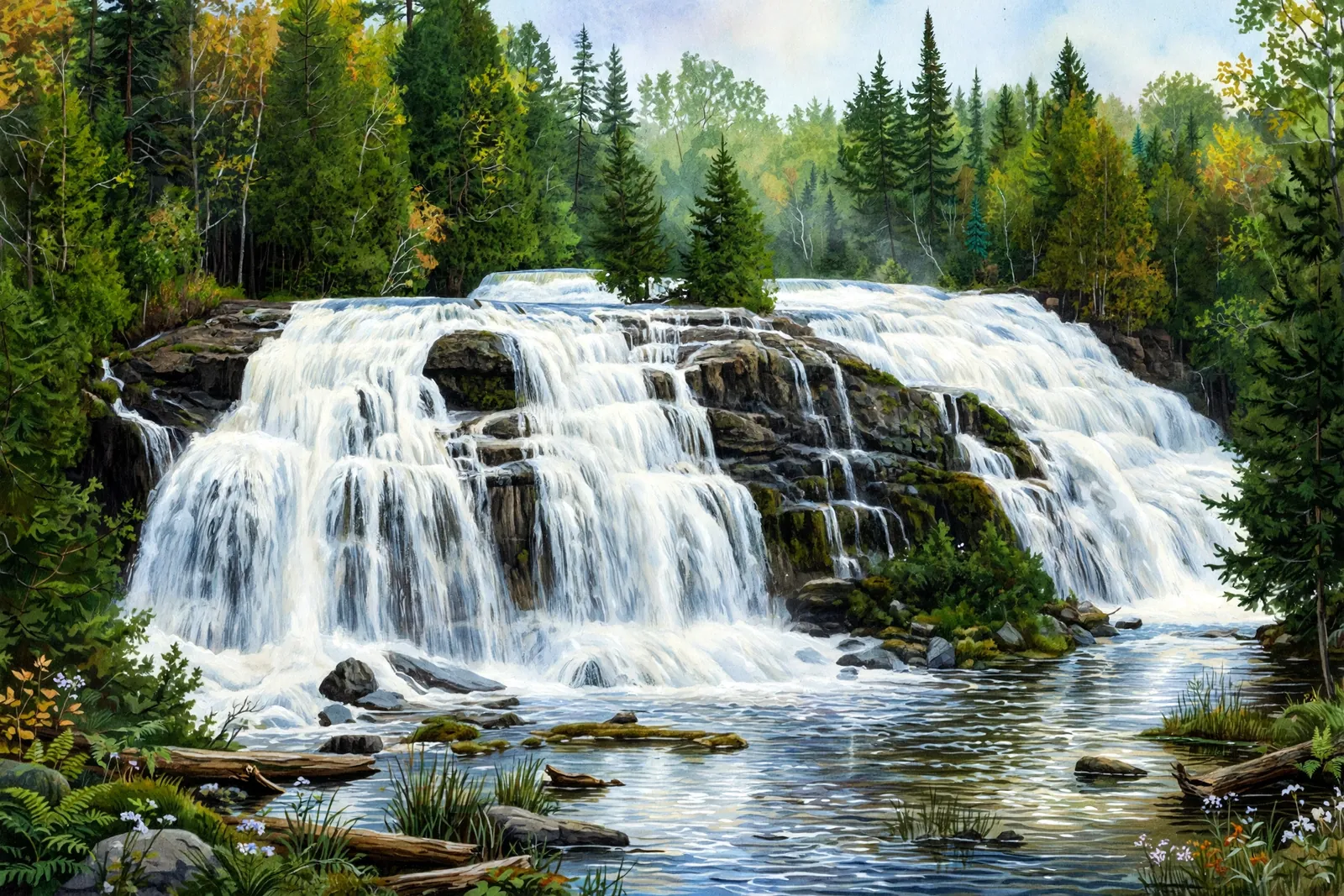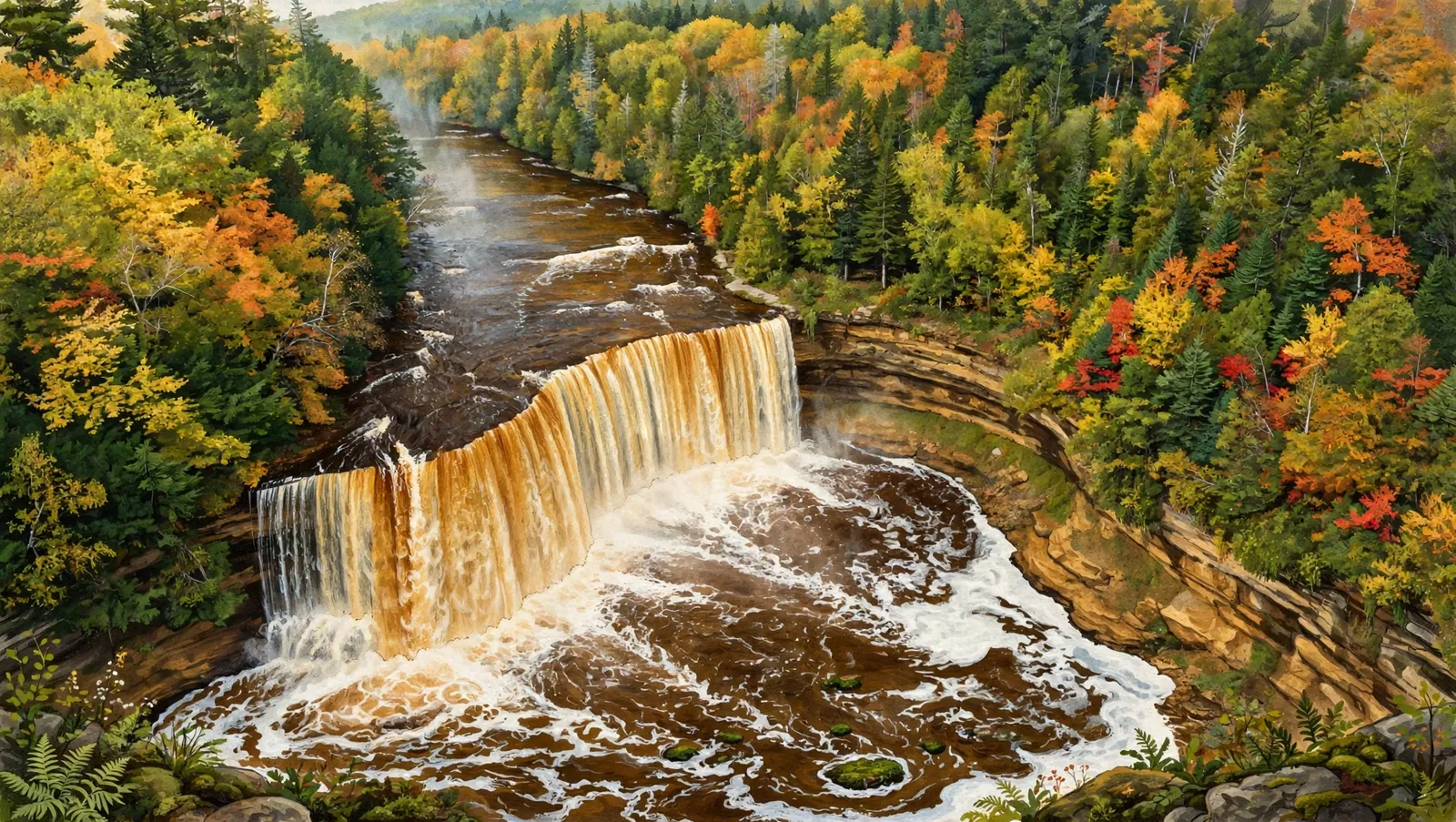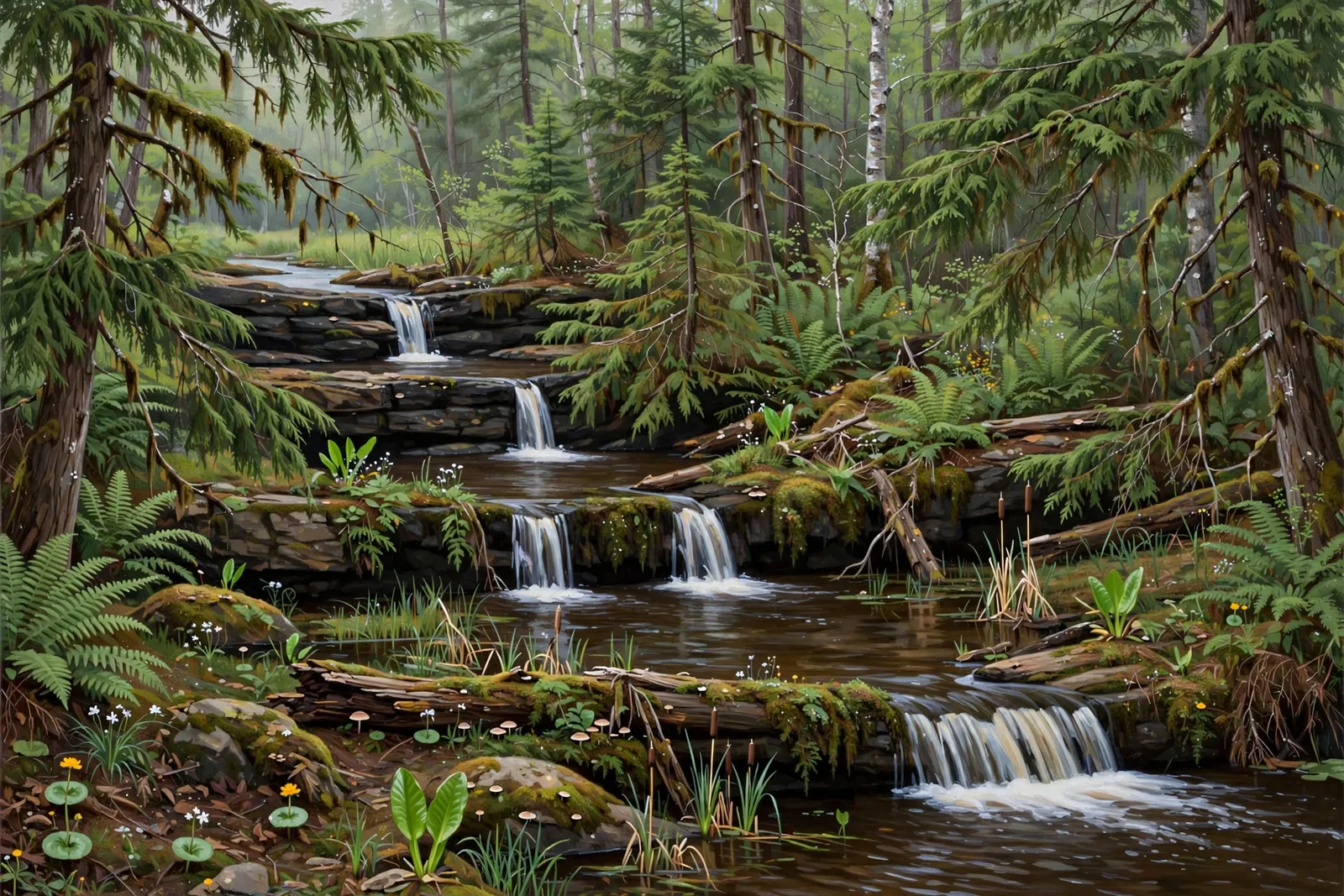
A modest, multi-drop cascade on the Middle Branch of the Ontonagon River in the Ottawa National Forest — also known as Burned Dam Falls — near Watersmeet.
A cascade spreads the water over a run of ledges rather than a single drop, so the view shifts with every few steps along the bank.
About the falls
Mex-I-Min-E Falls (also called Meximine Falls, and historically Burned Dam Falls) is a modest cascade on the Middle Branch of the Ontonagon River in the Ottawa National Forest. The falls run as a series of four small drops in a swampy, wild setting near Watersmeet, with a nearby campsite that makes it a perfect pit stop for a night or two. Its lesser-known status makes it a quiet escape for hikers and nature photographers.
Mex-I-Min-E Falls is one of 32 waterfalls in this guide’s Gogebic County listing, in the Western U.P.
Getting there
From Watersmeet, head north on US-45, then turn onto Old Highway 2 and continue about 6.5 miles. Look for Forest Road 4500 and follow it about 1.1 miles to the Mex-I-Min-E Falls (Burned Dam) campsite. A short Forest Service trail from the campground follows the river to the falls — about a quarter mile round trip, rated easy to intermediate by the Forest Service.
When to visit
Mex-I-Min-E Falls is a cascade near Watersmeet in Gogebic County. Trail: about 0.25 mi RT, rated easy. Parking: Mex-I-Min-E Falls Campsite off FR 4500. GPS for the falls: 46.31328, -89.05403.
Best season: Spring for peak flow.
Good to know
- The falls are near a Forest Service campsite — an easy base for exploring the area.
- Rocks near the water can be deceptively slippery; keep a safe distance.
- No fees are required to visit.
Waterfalls nearby
- Rock Bluff Falls — Bruce Crossing, about 7 miles away
- Bond Falls — Watersmeet, about 8 miles away
- Ajibikoka Falls — Watersmeet, about 9 miles away
Frequently asked questions
What is another name for Mex-I-Min-E Falls?
It is also known as Meximine Falls and historically as Burned Dam Falls.
How tall is Mex-I-Min-E Falls?
It is a modest cascade of four small drops — the tallest individual drop is only a few feet.
- Hours, fees, road conditions, and access change — verify with the managing park or visitor bureau close to departure.
- Cell service is thin across much of the peninsula. Download offline maps and tell someone your route.