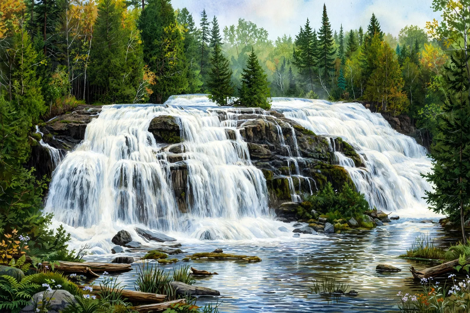
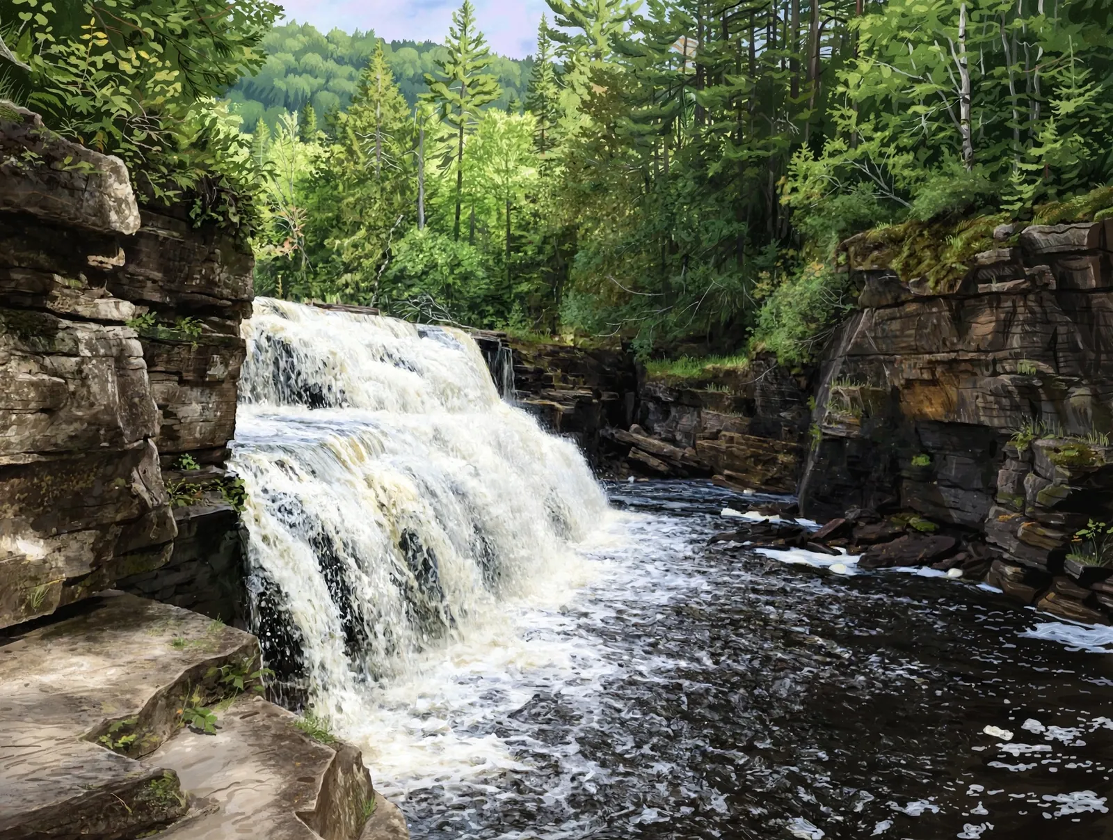
An 8-foot, three-drop slide on Bluff Creek near Bruce Crossing — a short 0.6-mile bushwhack through dense brush to a quiet little falls.
A slide falls runs down a sloping rock face instead of dropping freely, so the water stays in contact with the stone all the way down.
About the falls
Rock Bluff Falls is a small three-drop slide on Bluff Creek, near Bruce Crossing on Ontonagon County’s eastern edge. The falls total about 8 feet over a rocky slope, surrounded by dense brush and marshy ground. There is no maintained trail — the roughly 0.6-mile round trip is essentially a bushwhack — so bring boots you do not mind getting wet.
Rock Bluff Falls is one of 22 waterfalls in this guide’s Ontonagon County listing, in the Western U.P.
Getting there
The falls are on Bluff Creek off old US-45 near Bruce Crossing. Park in the informal pull-off near the two-track and follow Bluff Creek upstream about 0.3 miles — there is no maintained trail, so expect brushy, sometimes marshy going.
When to visit
Rock Bluff Falls is an 8-foot slide waterfall near Bruce Crossing in Ontonagon County. Trail: 0.6 mi RT, rated moderate. Parking: Informal pull-off near the two-track off old US-45. GPS for the falls: 46.37361, -89.18472.
Best season: Spring for peak flow.
Good to know
- No maintained trail — it is a bushwhack, so wear waterproof boots.
- Carry a GPS; the route is easy to lose in the brush.
- Spring snowmelt gives the best flow on this small creek.
Waterfalls nearby
- Bond Falls — Watersmeet, about 3 miles away
- Ajibikoka Falls — Watersmeet, about 4 miles away
- Wildcat Falls — Watersmeet, about 5 miles away
Frequently asked questions
How long is the hike to Rock Bluff Falls?
About 0.6 miles round trip — but there is no maintained trail, so it is essentially a bushwhack along the creek.
How tall is Rock Bluff Falls?
About 8 feet, spread over three drops on Bluff Creek.
- Hours, fees, road conditions, and access change — verify with the managing park or visitor bureau close to departure.
- Cell service is thin across much of the peninsula. Download offline maps and tell someone your route.