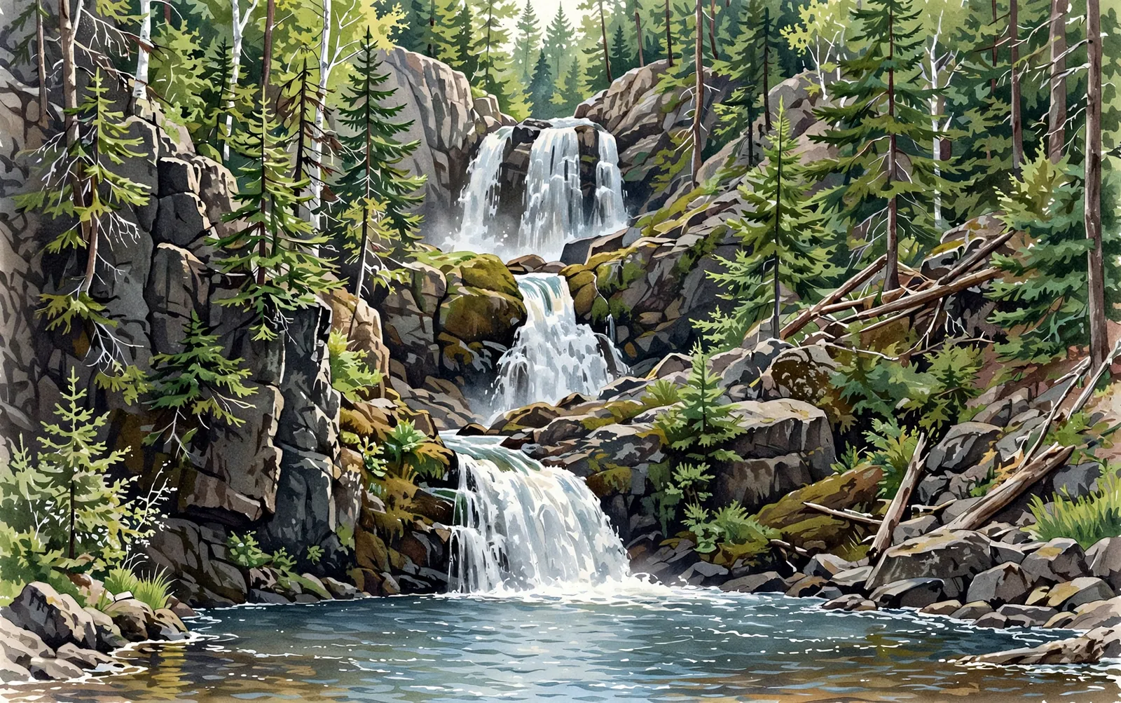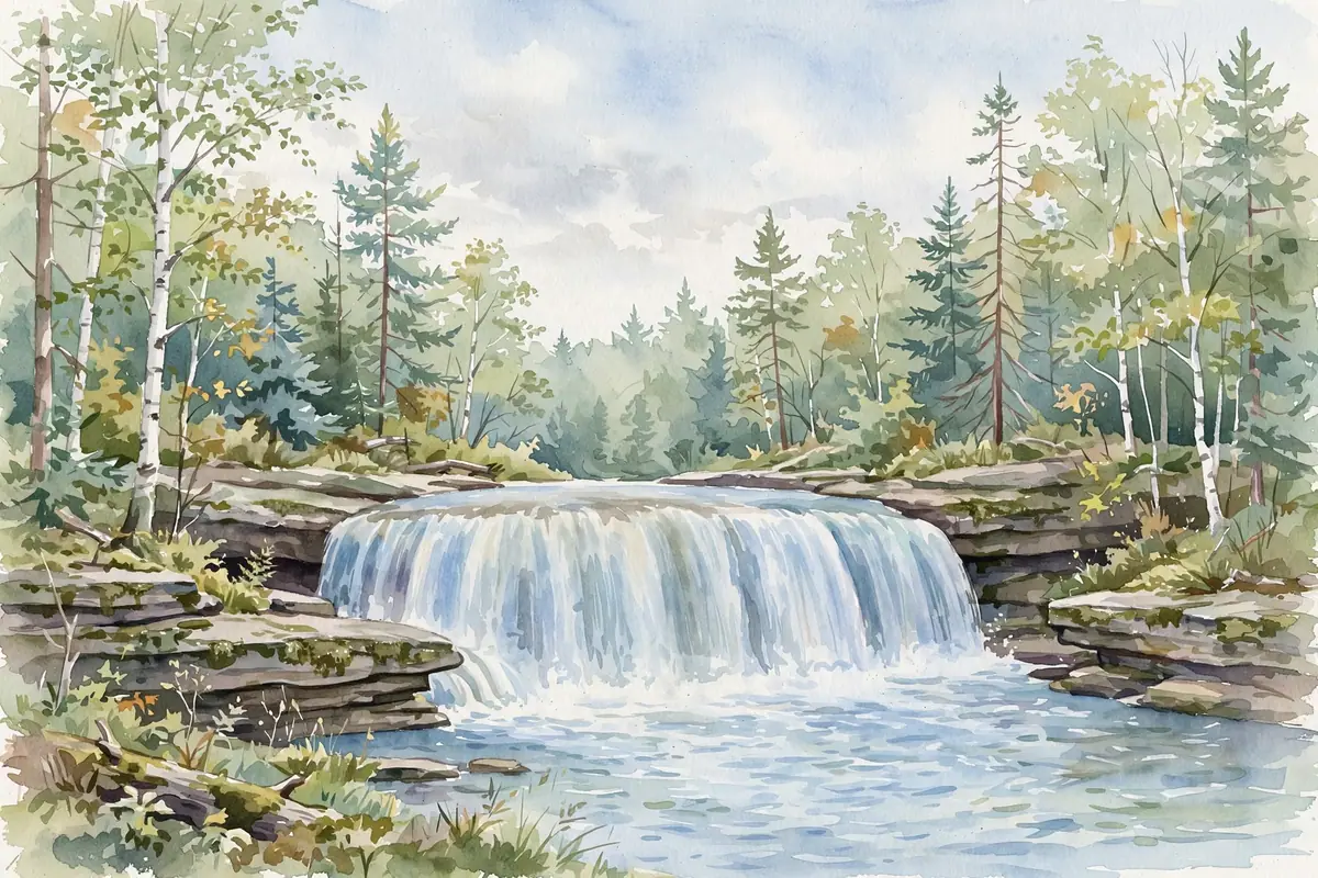
Rock River Falls pours about 15 feet over rocky shelves into a plunge pool deep in the Rock River Canyon Wilderness — one of the hardest Alger County falls to reach, and one of the most rewarding.
The route crosses miles of national forest roads, then a roughly 3/4-mile hike through woods that can be swampy — so you will very likely have this little canyon to yourself. It sits inside a 4,640-acre roadless wilderness carved by the Rock River and Silver Creek.
A cascade spreads the water over a run of ledges rather than a single drop, so the view shifts with every few steps along the bank.
About the falls
Rock River Falls is the namesake waterfall of the Rock River Canyon Wilderness, a federally designated wilderness unit in the Hiawatha National Forest established in 1987. The Rock River drops about 15 feet here into a small rock canyon, with the falls framed by second-growth forest on the site of an area logged a century ago. The surrounding wilderness centers on two sandstone canyons up to 150 feet deep, plus 13-acre Ginpole Lake, and supports black bear, white-tailed deer, and trout in the Rock River and Silver Creek. No motorized vehicles, bicycles, or wheeled devices are allowed in the wilderness — including on the trail to the falls.
Rock River Falls is one of 25 waterfalls in this guide’s Alger County listing, in the Central U.P.
Getting there
From Chatham, head north on Rock River Road for about 4 miles from the M-94 intersection, then turn left onto FR-2276 (also CR-437 / Johnson Lake Tower Road) and follow it nearly 4 miles. Fork left onto FR-2293 (CR-408) and watch for a parking area on the left after about a half mile — the area is not well signed. From there the trail runs roughly 3/4 mile through the woods to the falls, narrowing and winding as it goes.
When to visit
Rock River Falls is a 15-foot cascade near Chatham in Alger County. Trail: 1.5 mi RT, rated moderate. Parking: Small parking area on FR-2293 (CR-408), about a half mile after the fork off FR-2276; not well signed. GPS for the parking area: 46.41113, -86.97627.
Best season: Spring for peak flow.
Good to know
- A detailed Hiawatha National Forest map is essential — signage is sparse and the forest roads can be rough and swampy.
- The area can be boggy, so plan footwear accordingly and watch your footing near the canyon rim.
- Wilderness rules apply: leave no trace, no motorized or wheeled vehicles, and pack out everything you bring in.
Waterfalls nearby
- Silver Falls (Onota) — Onota, about 3 miles away
- Laughing Whitefish Falls — Chatham, about 5 miles away
- Cole Creek Falls — Au Train, about 8 miles away
Frequently asked questions
Why is Rock River Falls hard to reach?
It sits in a designated wilderness: miles of unsigned forest roads, a rough and sometimes swampy route, and a trail that narrows as it goes.
How long is the hike?
About 3/4 mile each way (roughly 1.5 miles round trip) from the FR-2293 parking area.
- Hours, fees, road conditions, and access change — verify with the managing park or visitor bureau close to departure.
- Cell service is thin across much of the peninsula. Download offline maps and tell someone your route.