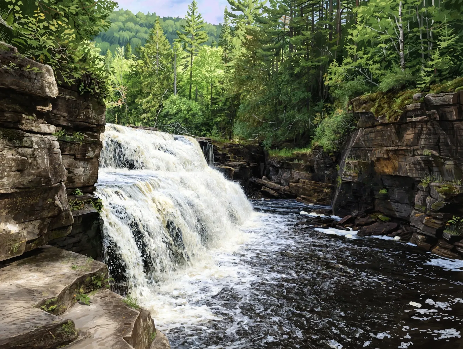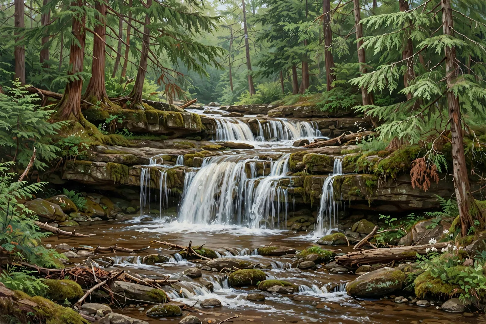
Rocky Forty Falls drops about 12 feet over rocky ledges on Siemens Creek, south of Watersmeet in the Ottawa National Forest.
A cascade spreads the water over a run of ledges rather than a single drop, so the view shifts with every few steps along the bank.
About the falls
The walk in is short and flat through a quiet cedar forest grove, making it one of the easiest waterfall stops in the far western U.P. Continue a short way upstream to find its upper sibling, Upper Rocky Forty Falls.
Rocky Forty Falls is one of 32 waterfalls in this guide’s Gogebic County listing, in the Western U.P.
Getting there
The falls are on Siemens Creek off County Road 527, south of Watersmeet. Look for roadside parking along the county road near the creek; the falls are a short walk into the cedar grove. Download offline maps, as cell service is spotty in this area.
When to visit
Rocky Forty Falls is a 12-foot cascade near Watersmeet in Gogebic County. Trail: 0.6 mi RT, rated easy. Parking: Roadside pull-off along County Road 527 near Siemens Creek. GPS for the falls: 46.31420, -89.26250.
Best season: Spring for peak flow.
Good to know
- Combine both falls in one stop — Upper Rocky Forty Falls is a short walk upstream.
- Bring bug spray in summer; the cedar grove holds mosquitoes.
- Verify road conditions before you go; County Road 527 is a forest road.
Waterfalls nearby
- Upper Rocky Forty Falls — Watersmeet, less than a mile away
- Ajibikoka Falls — Watersmeet, about 1 mile away
- Wildcat Falls — Watersmeet, about 3 miles away
Frequently asked questions
Can I visit both Rocky Forty Falls in one stop?
Yes — Upper Rocky Forty Falls is a short walk upstream on Siemens Creek from the main falls.
Is the trail kid-friendly?
Yes — the walk is short and flat through a cedar grove, rated easy.
- Hours, fees, road conditions, and access change — verify with the managing park or visitor bureau close to departure.
- Cell service is thin across much of the peninsula. Download offline maps and tell someone your route.