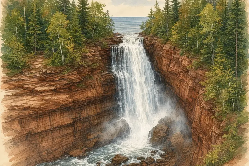
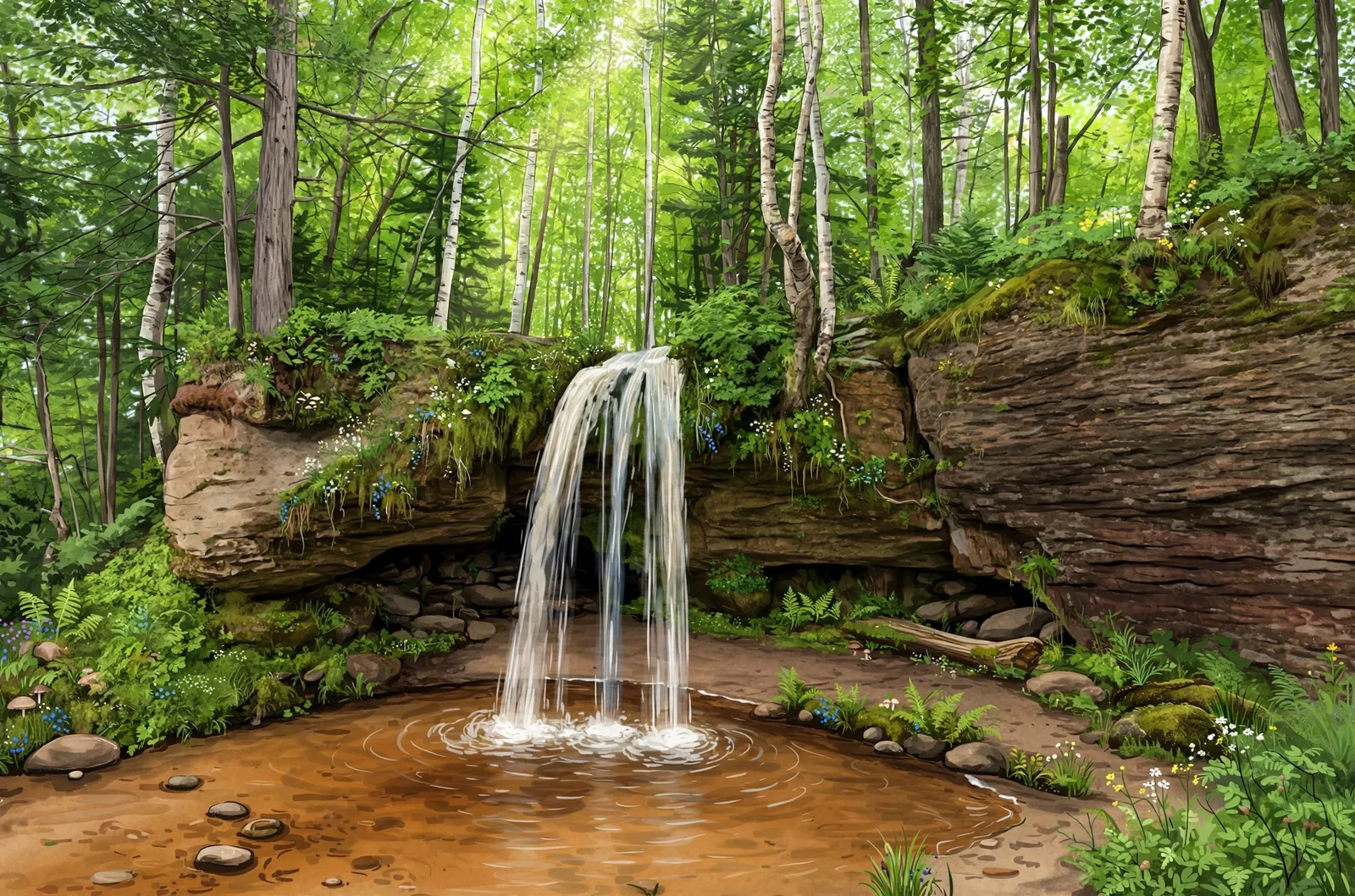
A 15-foot drop into a deep pool on the Upper Carp River in Porcupine Mountains Wilderness State Park, reached on the Government Peak Trail.
A plunge falls drops in a single, mostly free-falling sheet, and it is usually most impressive when the water is high.
About the falls
Trap Falls is a drop of about 15 feet on the Upper Carp River in Porcupine Mountains Wilderness State Park. The Michigan DNR trail description says the Government Peak Trail leaves the M-107 trailhead, crosses the Upper Carp River and follows it to Trap Falls before swinging west toward Government Peak. The Western U.P. waterfall brochure rates the falls fairly easy to locate and fairly easy to reach.
Trap Falls is one of 22 waterfalls in this guide’s Ontonagon County listing, in the Western U.P.
Getting there
Park at the Government Peak trailhead on M-107 and take the Government Peak Trail. The Western U.P. brochure gives the hike to the falls as 2.5 miles, crossing and then following the Upper Carp River.
When to visit
Trap Falls is a 15-foot plunge waterfall near Silver City in Ontonagon County. Trail: 2.5 mi one way. Parking: Government Peak trailhead on M-107. Fees: Michigan Recreation Passport required. No verified GPS coordinates are published for this falls.
Best season: Spring for peak flow.
Good to know
- Carry a map and offline GPS.
- A Michigan Recreation Passport is required for vehicles entering the park.
- Check current trail conditions with the park before you go.
Frequently asked questions
How long is the hike to Trap Falls?
The Western U.P. brochure gives 2.5 miles one way on the Government Peak Trail from the M-107 trailhead.
How tall is Trap Falls?
About 15 feet, a drop into a deep pool on the Upper Carp River.
- Hours, fees, road conditions, and access change — verify with the managing park or visitor bureau close to departure.
- Cell service is thin across much of the peninsula. Download offline maps and tell someone your route.