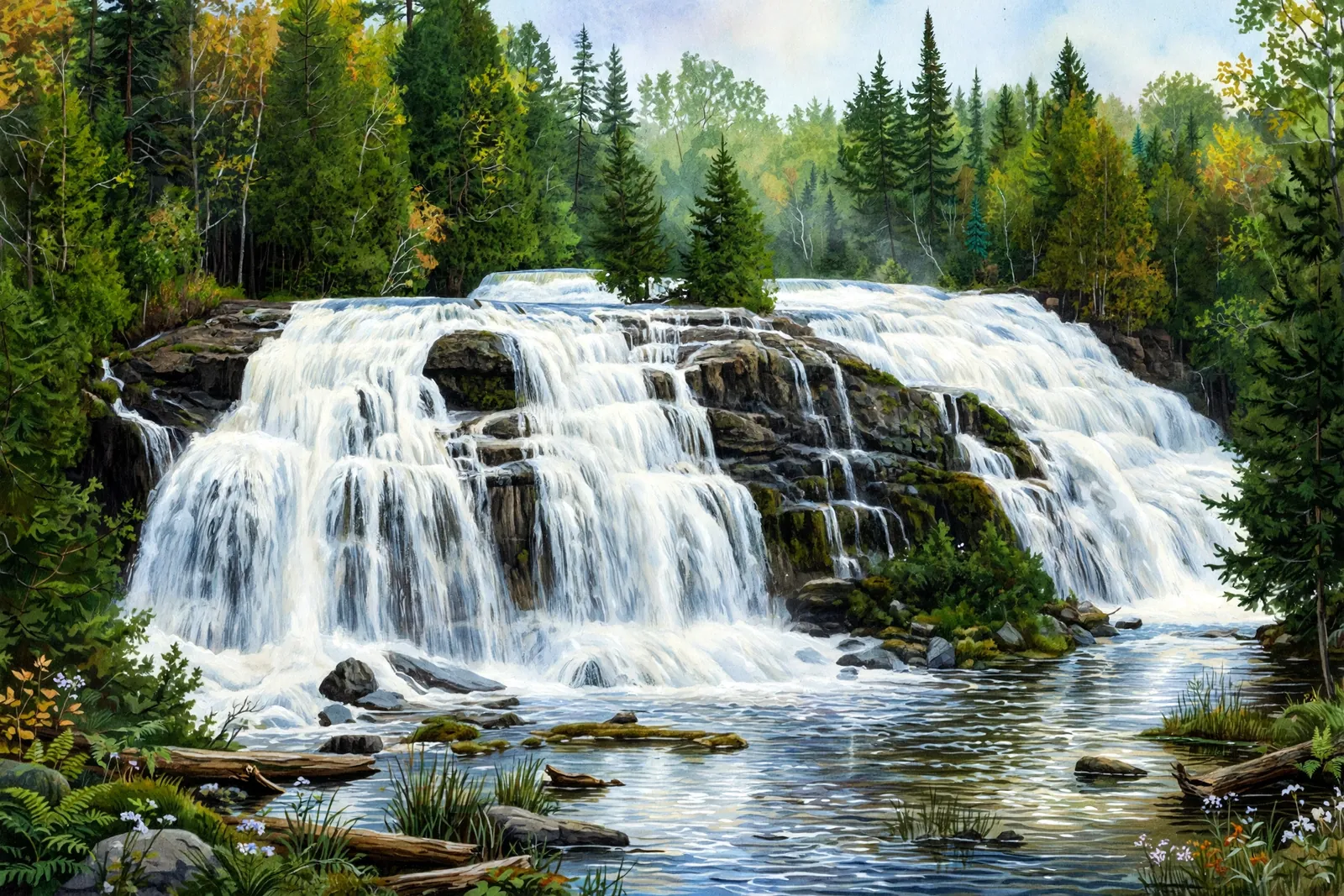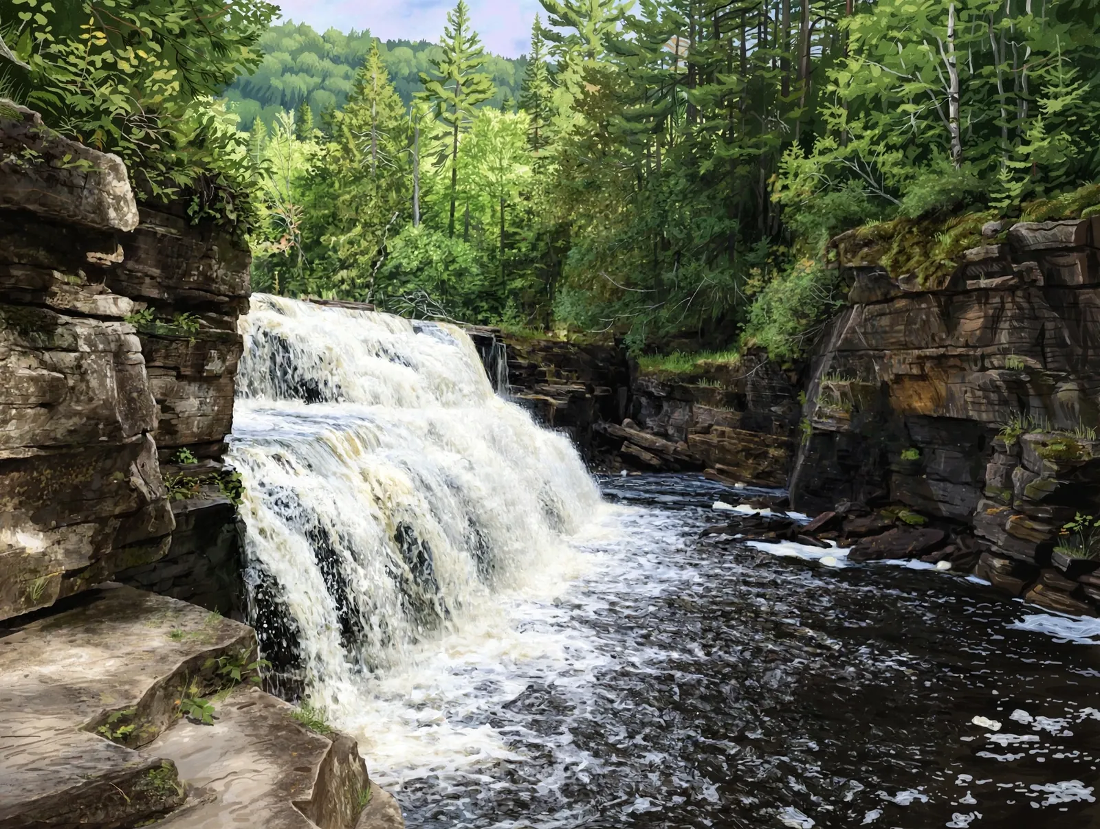
A long, low slide of about 5 feet on the East Branch Firesteel River north of Lake Mine, reached by two-tracks and an ATV trail.
A slide falls runs down a sloping rock face instead of dropping freely, so the water stays in contact with the stone all the way down.
About the falls
Upper Penn Falls is a long slide over bumpy rocks into a calm shallow pool on the East Branch Firesteel River, just upstream of Lower Penn Falls. Waterfalls of the Keweenaw lists about 5 feet high and 6 feet wide and rates it 1.5 out of 5. The route follows forest tracks to the Bill Nichols ATV trail.
Upper Penn Falls is one of 22 waterfalls in this guide’s Ontonagon County listing, in the Western U.P.
Getting there
From the Lake Mine corner of M-26 and M-38, head north about four miles to a track on the right that connects with the Bill Nichols ATV trail; it is hard to pick the right track but in good shape, and winds about half a mile through forest to the Bill Nichols trail. Park, or drive left 1.5 miles down the trail (driving is discouraged without the proper permits) to an unmarked two-track on the right. Follow it a few hundred yards and take the first main fork right to the river below the lower falls, then continue upstream.
When to visit
Upper Penn Falls is a 5-foot slide waterfall near Rockland in Ontonagon County. Trail: about 0.5 mile of two-track and 1.5 miles of ATV trail, then a short two-track, rated difficult. Parking: Where the connecting track meets the Bill Nichols ATV trail. No verified GPS coordinates are published for this falls.
Best season: Spring for peak flow.
Good to know
- Driving the ATV trail is discouraged without the proper stickers and vehicle.
- The route uses unmarked tracks; use a GPS and offline maps.
Frequently asked questions
How tall is Upper Penn Falls?
About 5 feet high and 6 feet wide, according to Waterfalls of the Keweenaw.
How do Upper and Lower Penn Falls relate?
They are a pair on the East Branch Firesteel River; the lower falls are just downstream.
- Hours, fees, road conditions, and access change — verify with the managing park or visitor bureau close to departure.
- Cell service is thin across much of the peninsula. Download offline maps and tell someone your route.