Tahquamenon Falls State Park
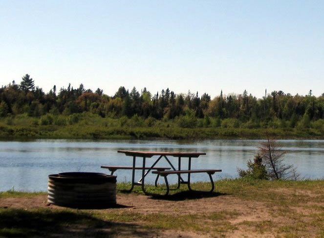 Tahquamenon Falls State Park is a large park covering a total of almost 50,000 acres across 13 miles. Most of the park is undeveloped without any roads, buildings or power lines. Tahquamenon Falls State Park gets its name for the Tahquamenon River that flows through the heart of the park. The Tahquamenon Falls are one of the major highlights of the Upper Peninsula of Michigan. The Upper Falls is one of the largest waterfalls east of the Mississippi River and a must-see stop during your visit to the park. The are surrounding Tahquamenon Falls State Park is full of history. From the Native Americans that used to hunt and fish the land to the lumberjacks who were some of the first white settlers during the 1800’s, you will have a unique experience learning about our local history. A Michigan Recreation Passport is required withing the park. Listed below you will find a list of campgrounds and cabins that are available for your stay in Tahquamenon Falls State Park. Also check out some of the hiking trails within the park. All links and camping information is provided by the DNR:
Campgrounds
- Tahquamenon Falls-Group Use Area
- 906-492-3415
- Tahquamenon Falls-Lodge
- 906-492-3415
- Tahquamenon Falls-Pines Camper Cabin
- 800-447-2757
- Tahquamenon Lower Falls-Modern
- 800-447-2757
- Tahquamenon Rivermouth Pines/Semi-Modern/Rustic
- 800-447-2757
- Tahquamenon Rivermouth-Modern
- 800-447-2757
Hiking Trails
- Tahquamenon-Clark Lake Loop
- Trail Length: 5.60 (Miles)
- Tahquamenon-Emerson Trail
- Trail Length: 1.00 (Miles)
- Tahquamenon-Giant Pines Trail
- Trail Length: 3.50 (Miles)
- Tahquamenon-Nature Trail
- Trail Length: 1.00 (Miles)
- Tahquamenon-River Trail
- Trail Length: 4.00 (Miles)
- Tahquamenon-Wilderness Loop
- Trail Length: 7.40 (Miles)