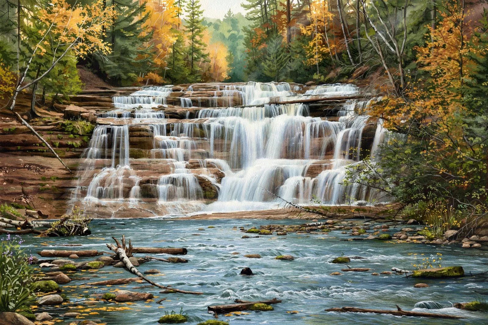
Agate Falls
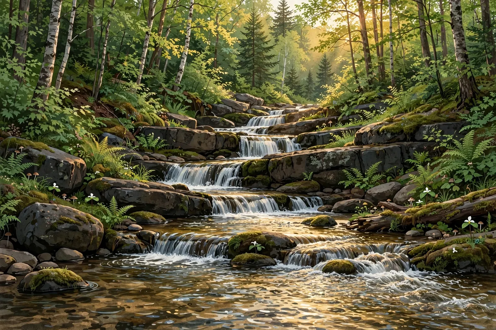
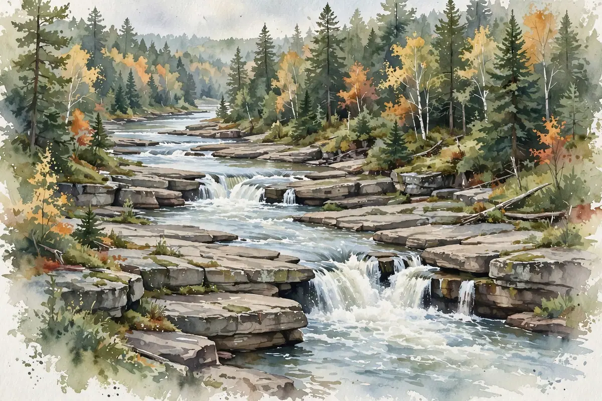
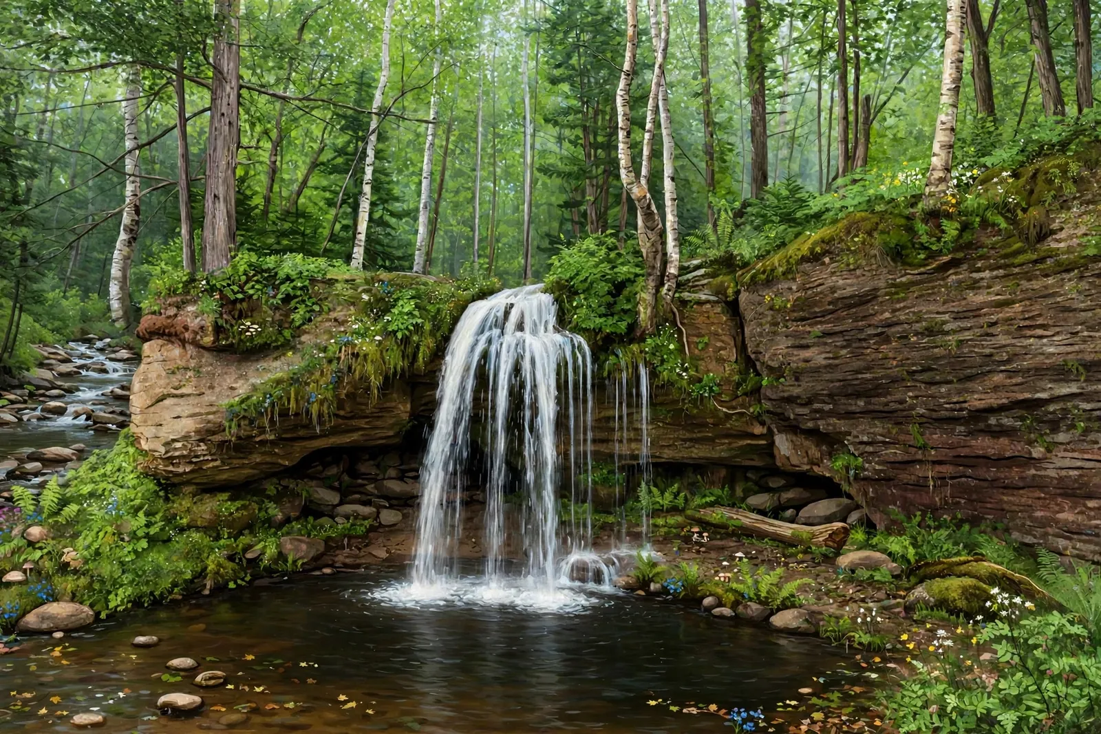
A wide band of interlacing cascades on the Ontonagon River, just off M-28 near Bruce Crossing — an easy, scenic stop.
Welcome to the ultimate guide to Upper Michigan waterfalls, where nature's beauty flows freely across the landscape. Upper Michigan, known for its rugged terrain and breathtaking wilderness, is home to some of the most stunning waterfalls in the Midwest. Whether you’re an avid hiker, a photography enthusiast, or someone seeking a peaceful escape, the waterfalls in this region…
No waterfall guides match those filters.
Height and trail length filters only include guides with a published figure. "Accessible viewing area" means an official source describes accessible features (see our accessible waterfalls guide).
A wide band of interlacing cascades on the Ontonagon River, just off M-28 near Bruce Crossing — an easy, scenic stop.

One of the tallest waterfalls in the U.P. — a 100-foot slide through old-growth pine and hemlock between Marquette and Munising.
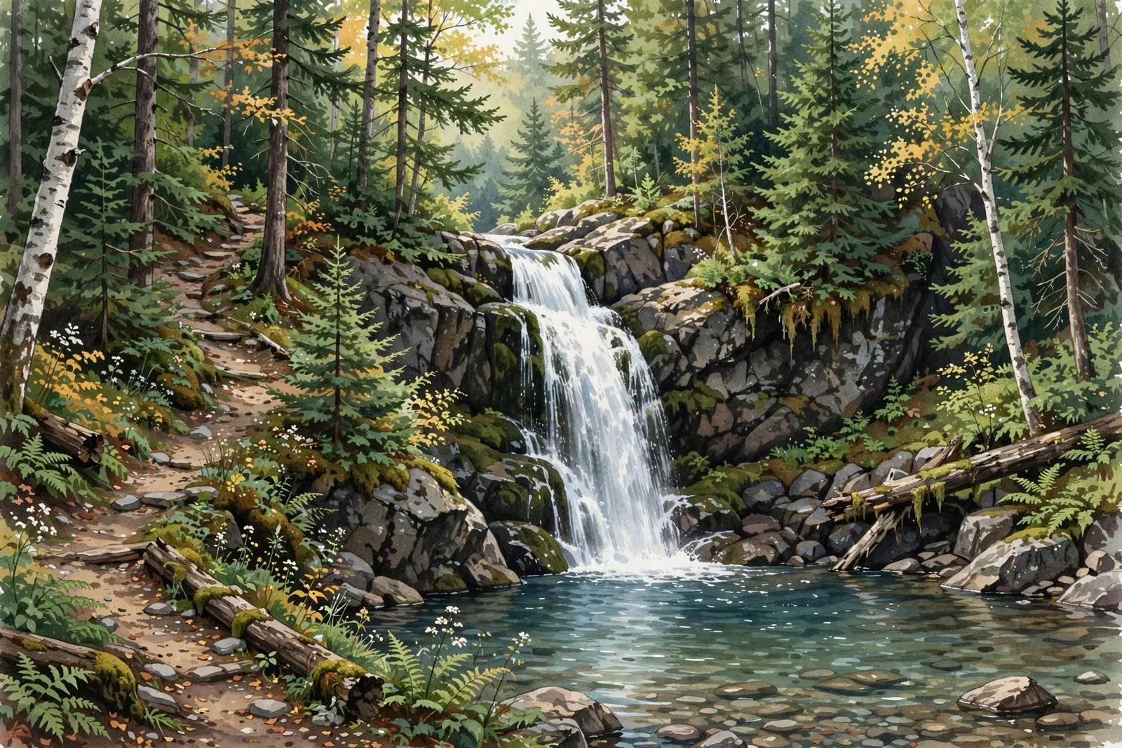
A hidden 25-foot cascade pouring into a clear pool at the end of a quiet 1.5-mile hike near Big Bay, north of Marquette.
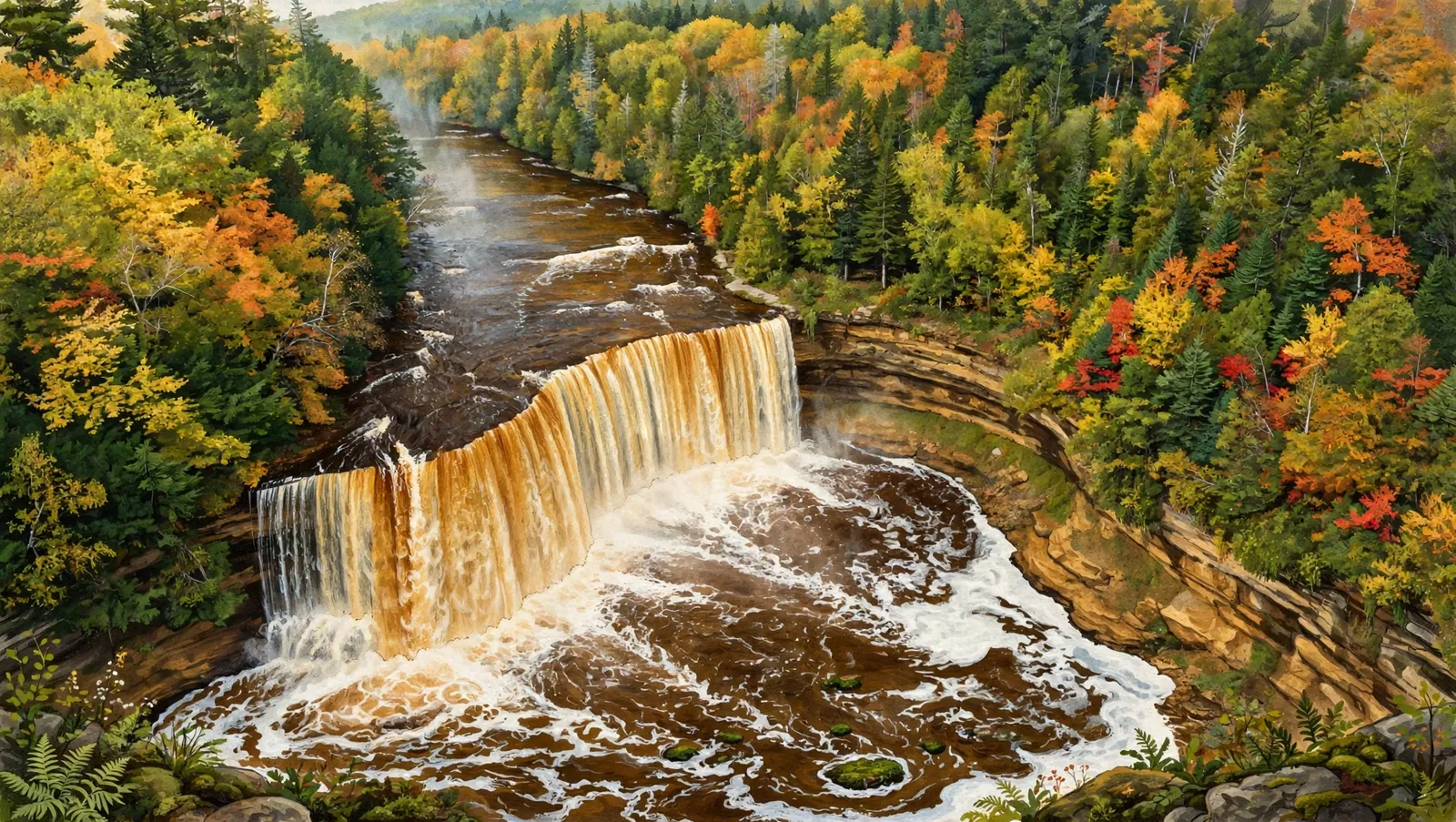
The U.P.’s most famous falls: an amber upper drop 200 feet wide, plus five smaller lower cascades, inside Tahquamenon Falls State Park.
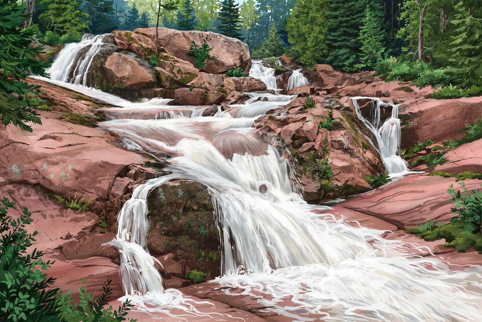
A hidden waterfall system near Marquette — a 30-foot main drop plus smaller cascades along the Yellow Dog River.
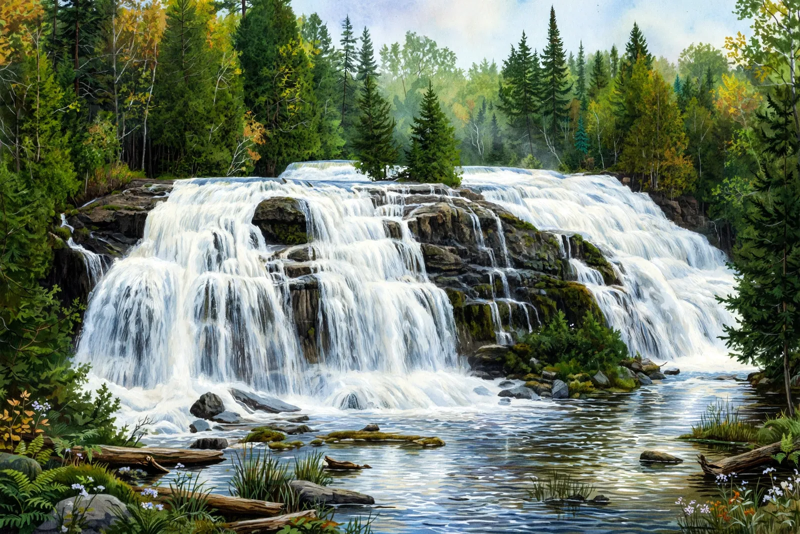
A 50-foot-high, 100-foot-wide cascade on the Ontonagon River with boardwalks and viewing platforms — easy for everyone.
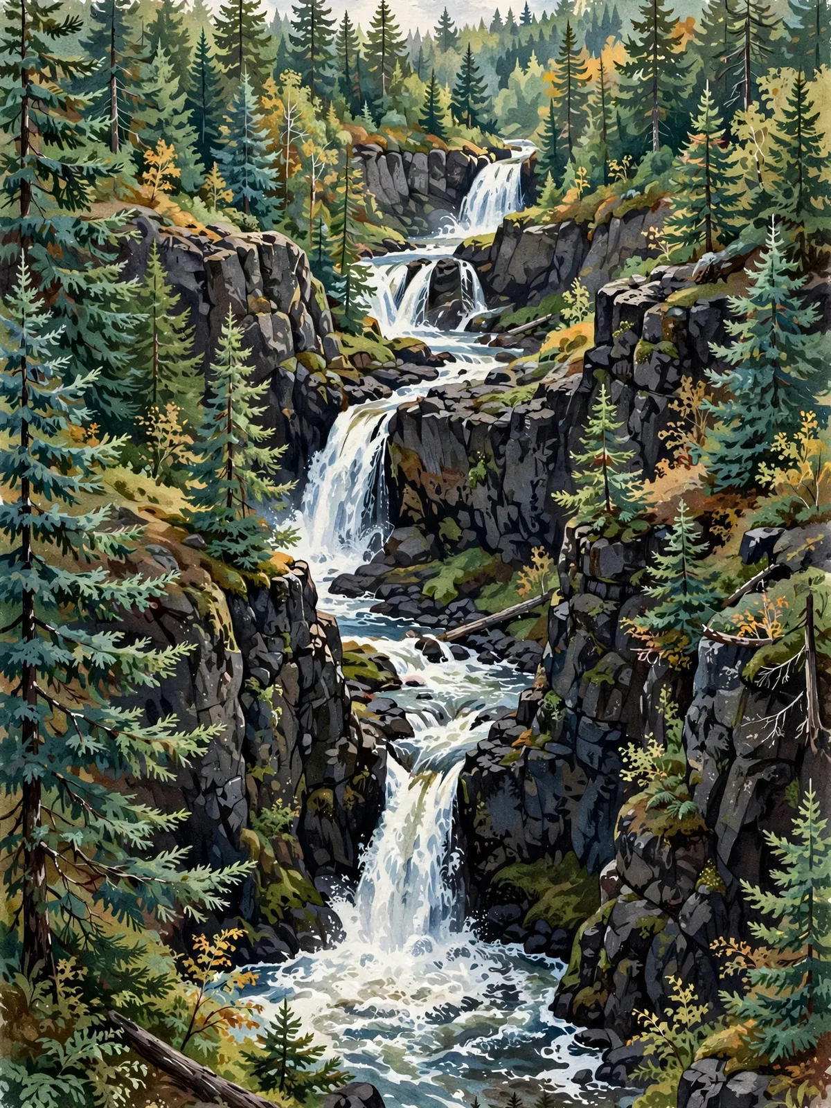
Five waterfalls — Great Conglomerate, Potawatomi, Gorge, Sandstone, and Rainbow — dropping 200+ feet along the Black River near Bessemer.
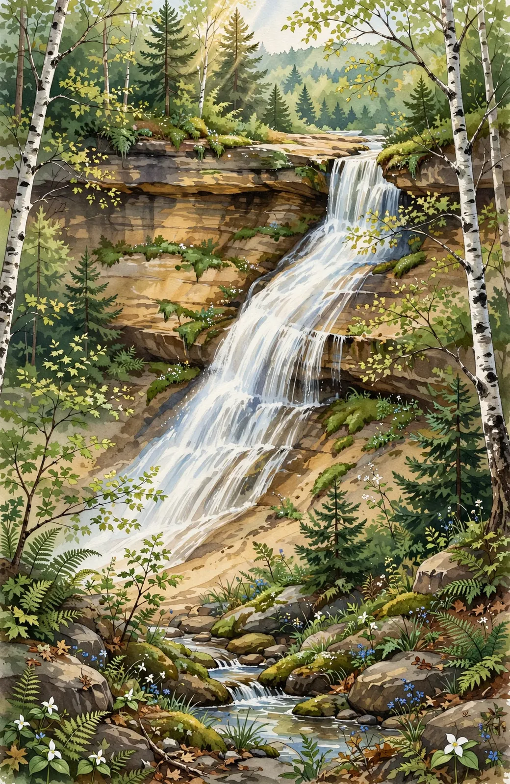
A graceful slide waterfall on the Chapel Basin trail in Pictured Rocks — a two-mile hike from the trailhead, best in spring.
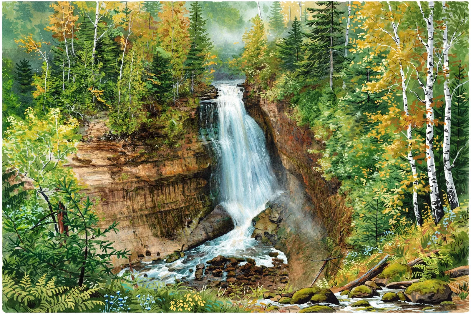
A 50-foot drop over a sandstone ledge in Pictured Rocks — a 1.2-mile round-trip hike near Munising.
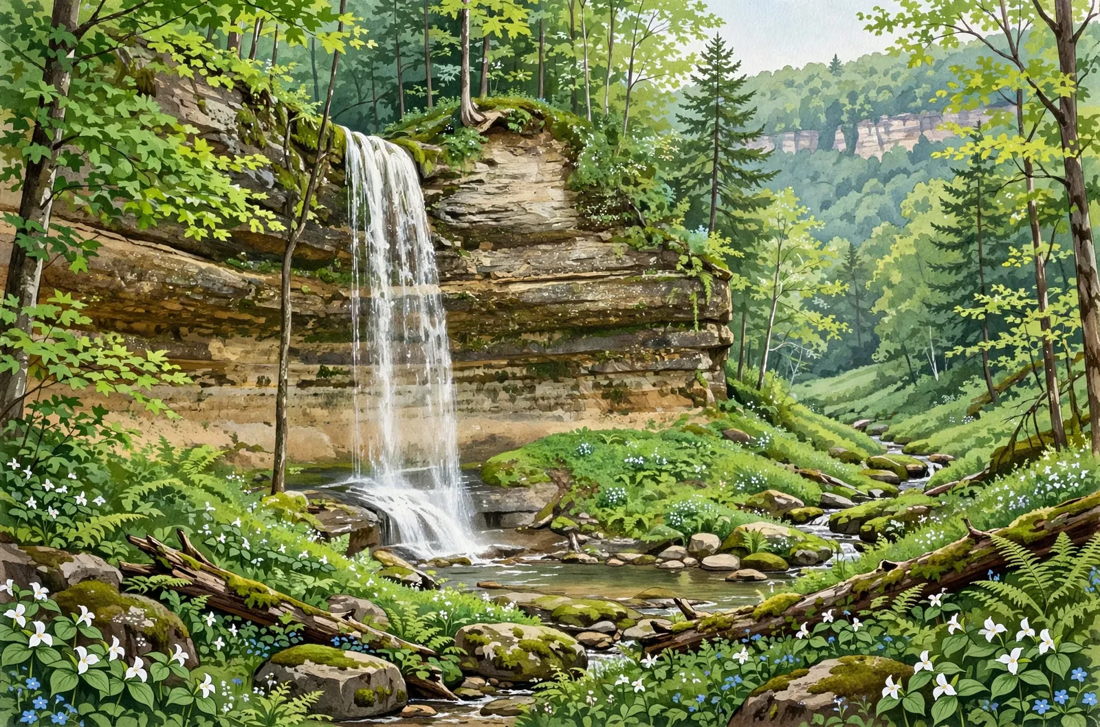
A 50-foot plunge over a sandstone cliff in Munising. Trail closed until further notice.
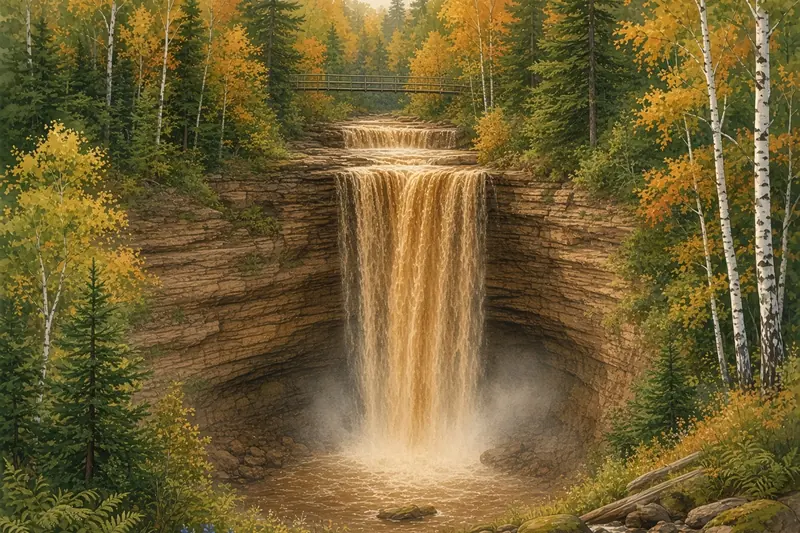
A rare plunge waterfall on the North Country Trail north of Bruce Crossing — free, wild, and walk-behind-able.
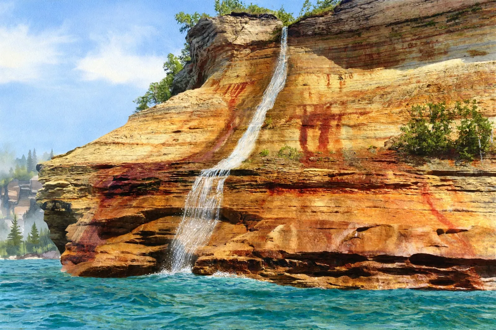
A seasonal 140-foot waterfall that drops off the Pictured Rocks cliffs into Lake Superior — best seen from a boat or kayak, only distantly from land.
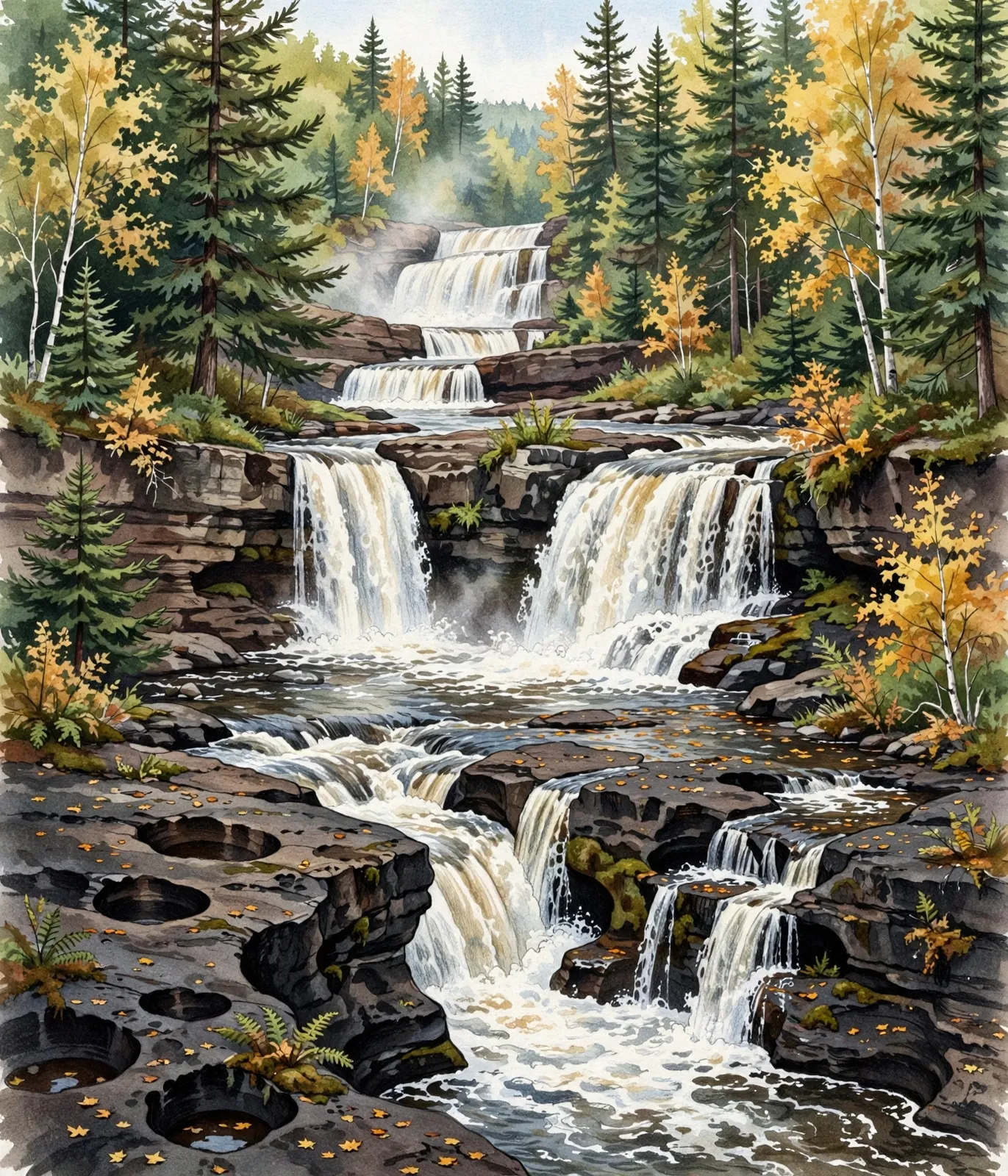
A 2.3-mile moderate loop past three named falls — Nawadaha, Manido, and 25-foot Manabezho — in the Porcupine Mountains.
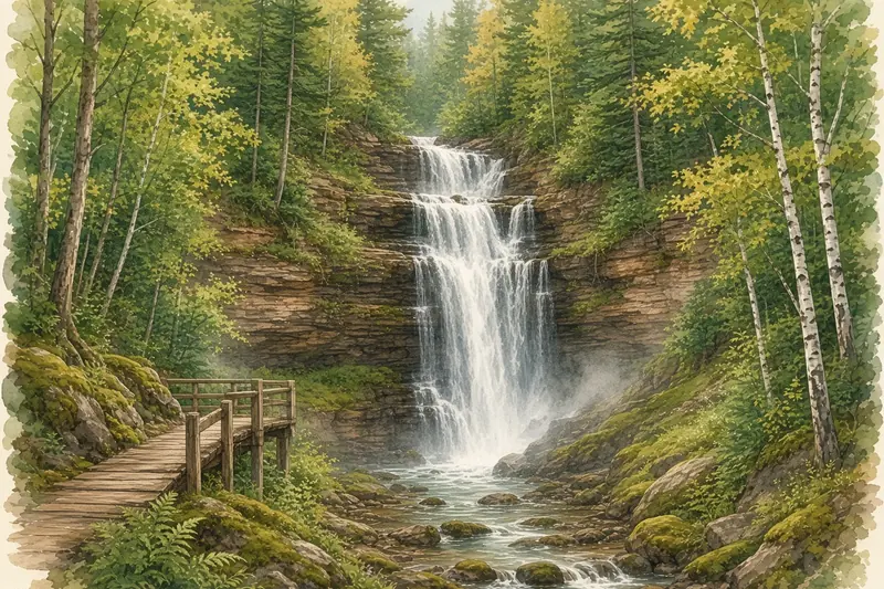
Three soft cascades through a virgin hemlock and pine forest south of Munising — a short, easy, no-pass-needed walk.
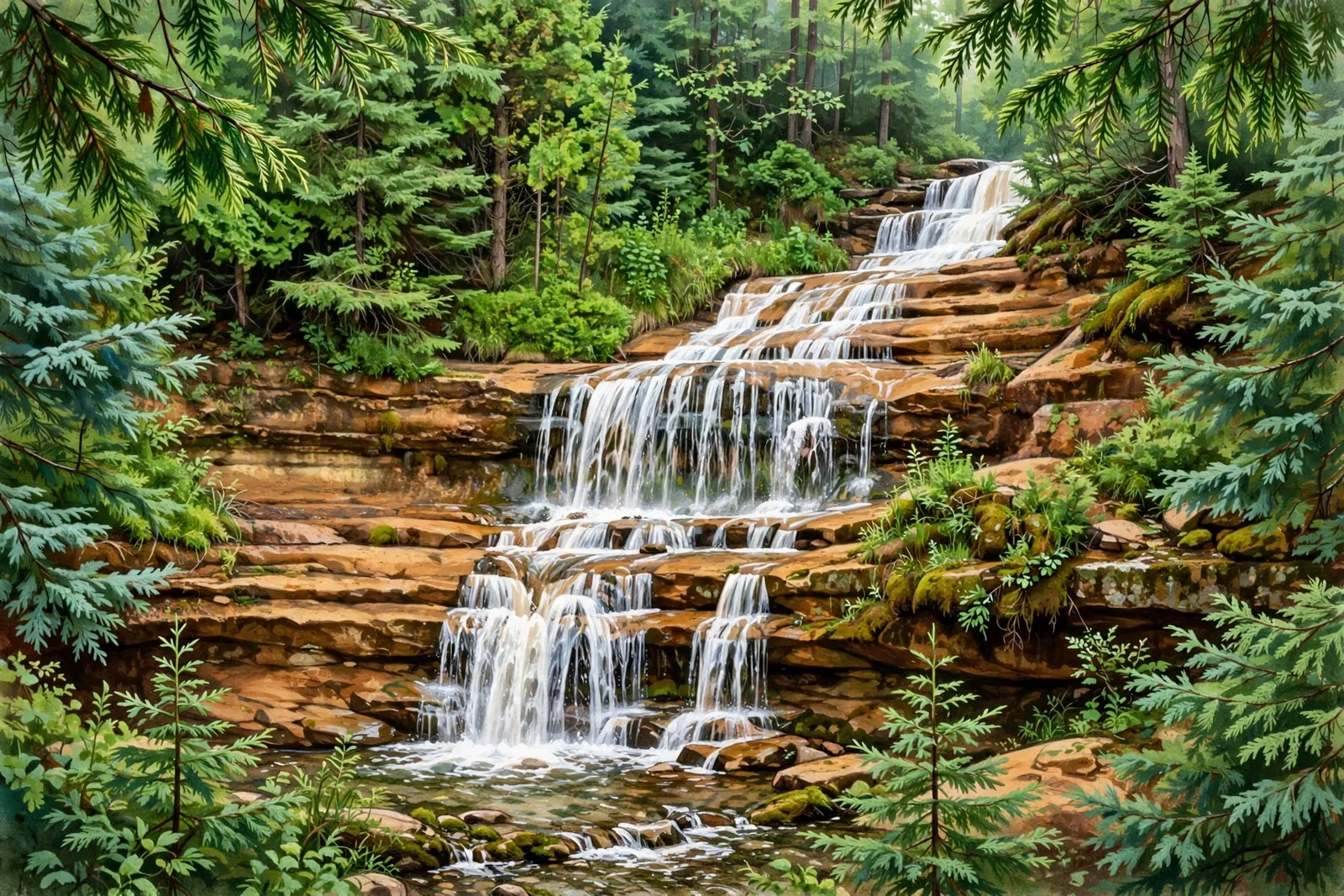
A roadside cascade on M-28 just south of Munising — view the ledges of Alger Creek without leaving the car.

Three drops totaling 40 feet on the Black River near Bessemer — a quiet, wild waterfall off the main tourist path.
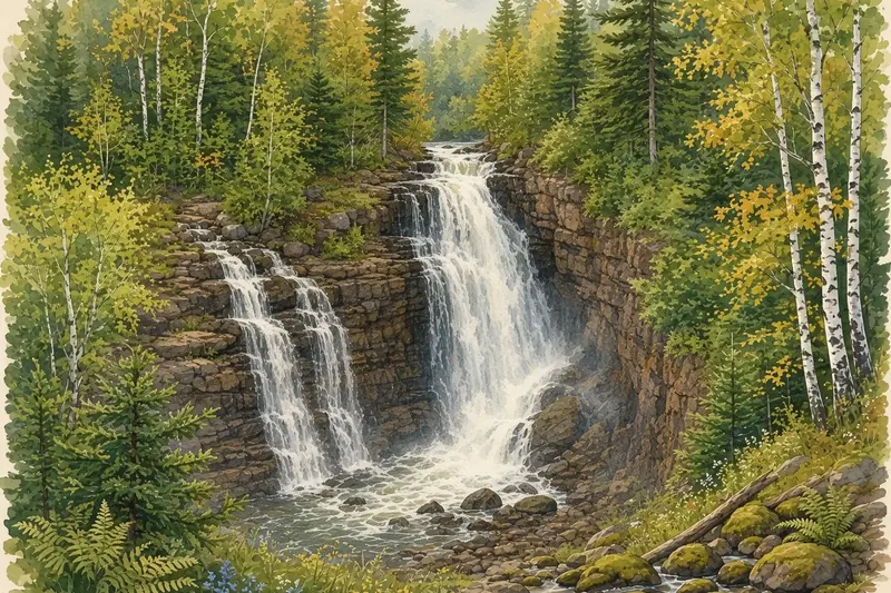
Two drops slide down rugged rock into Lake Superior on the Keweenaw — reached by a gorgeous shoreline trail.
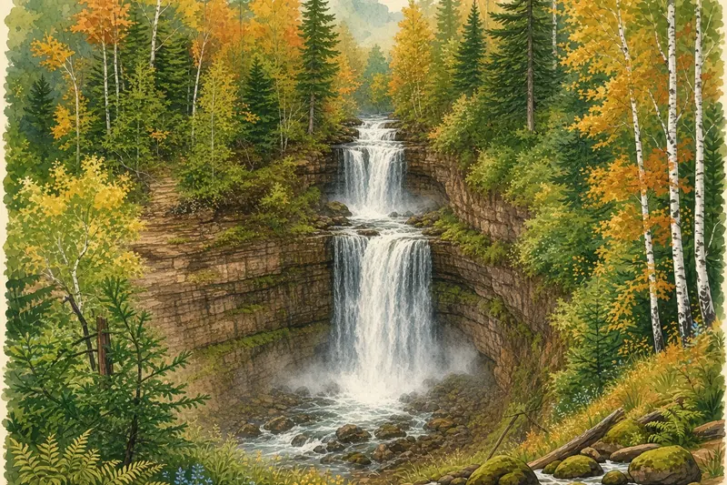
Three drops near Houghton, crowned by a 100-foot plunge into a gorge — saved for the public by a community land trust.
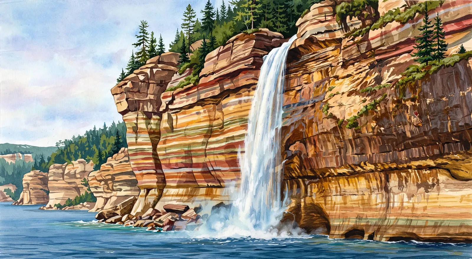
A 70-foot plunge off the Pictured Rocks cliffs into Lake Superior — best seen from a boat or sea kayak.
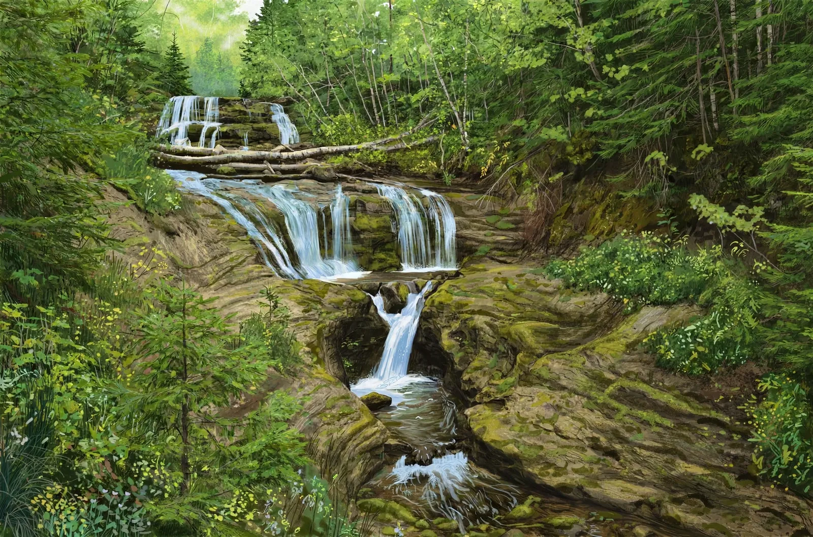
A 75-foot cascade over ledges just off H-58 — keep walking past the falls to reach a Lake Superior sand beach.
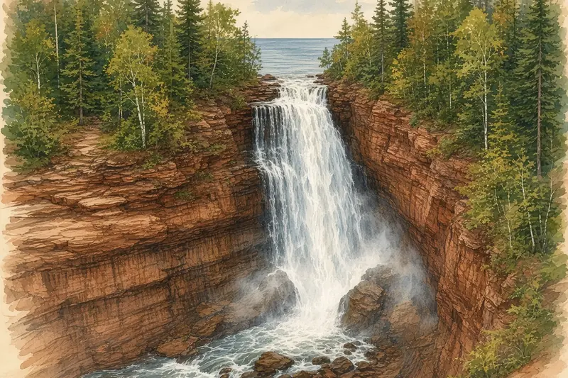
Several drops thunder through a dramatic gorge on the Michigan–Wisconsin border, yards from Lake Superior.
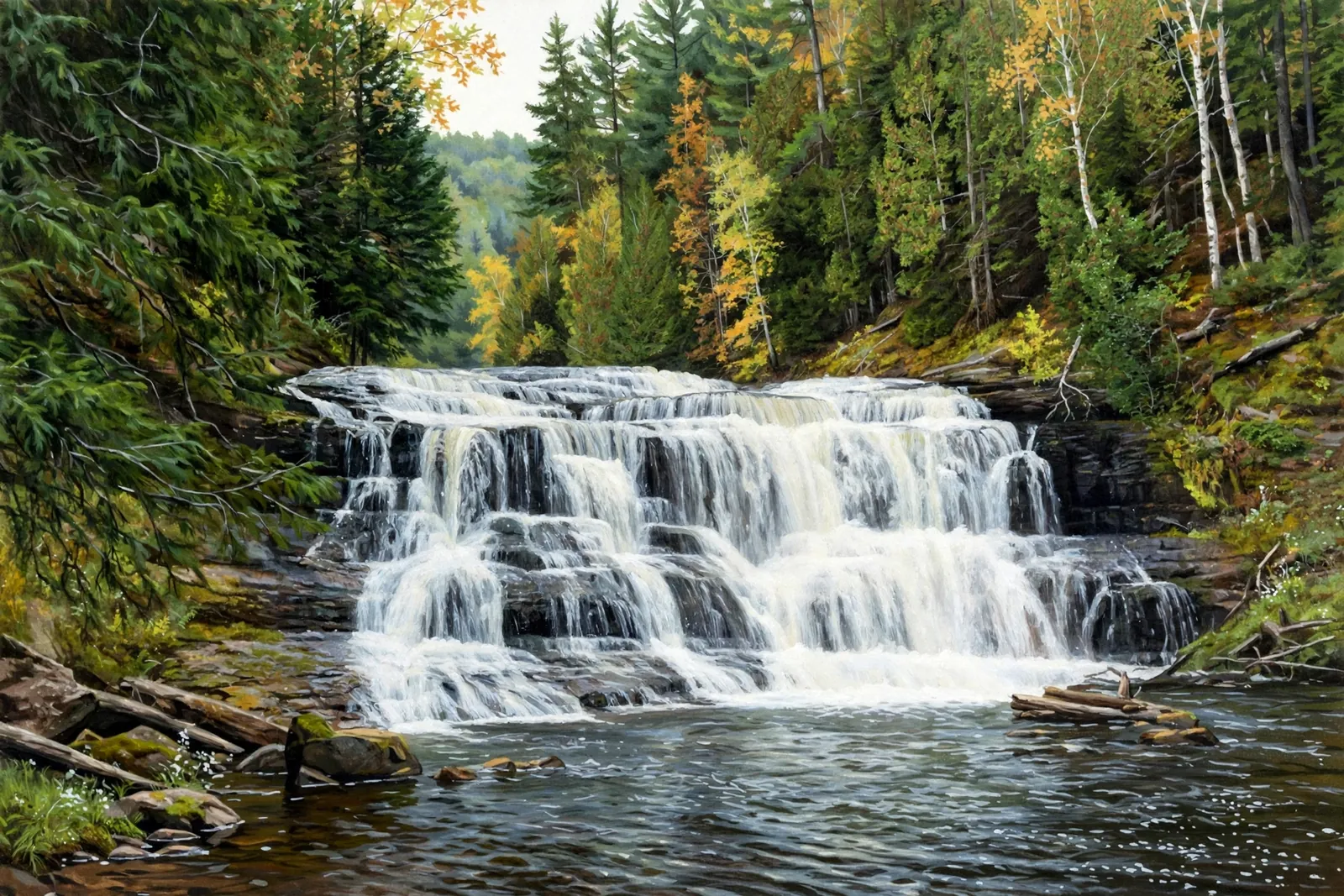
An 18-foot cascade on the Montreal River at the end of a quick 0.3-mile forest trail west of Ironwood.
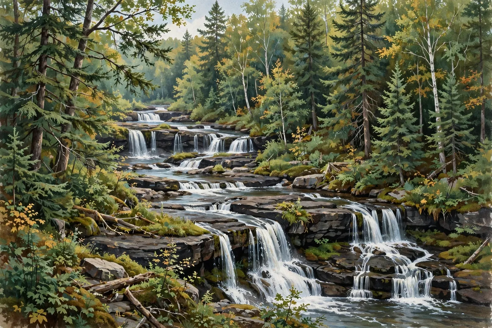
The most spectacular drop on Baraga County’s Silver River — shifting channels and pour-overs near L’Anse.
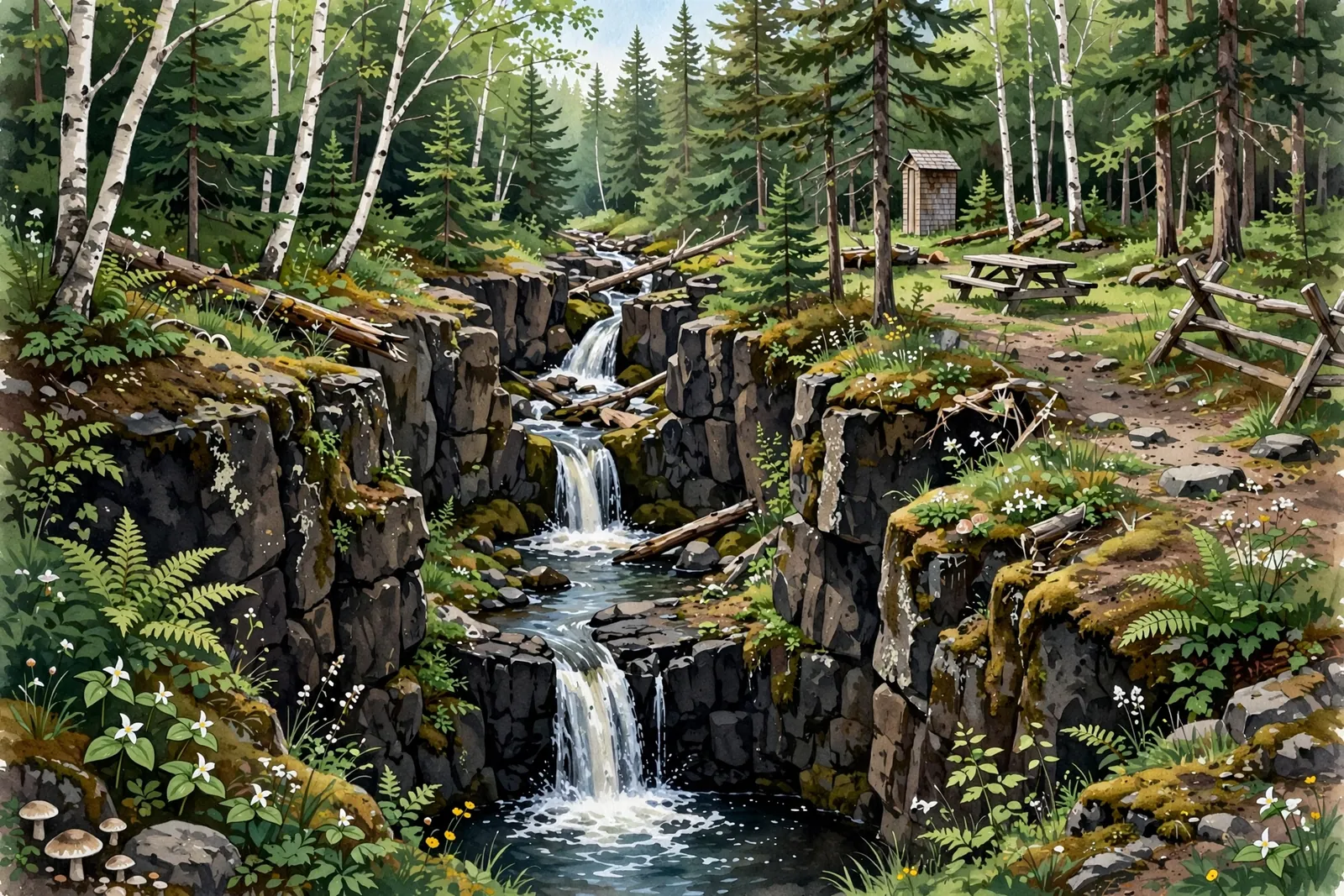
Two chutes where the Silver River narrows, dropping 15 feet — a quick, easy stop near L’Anse.
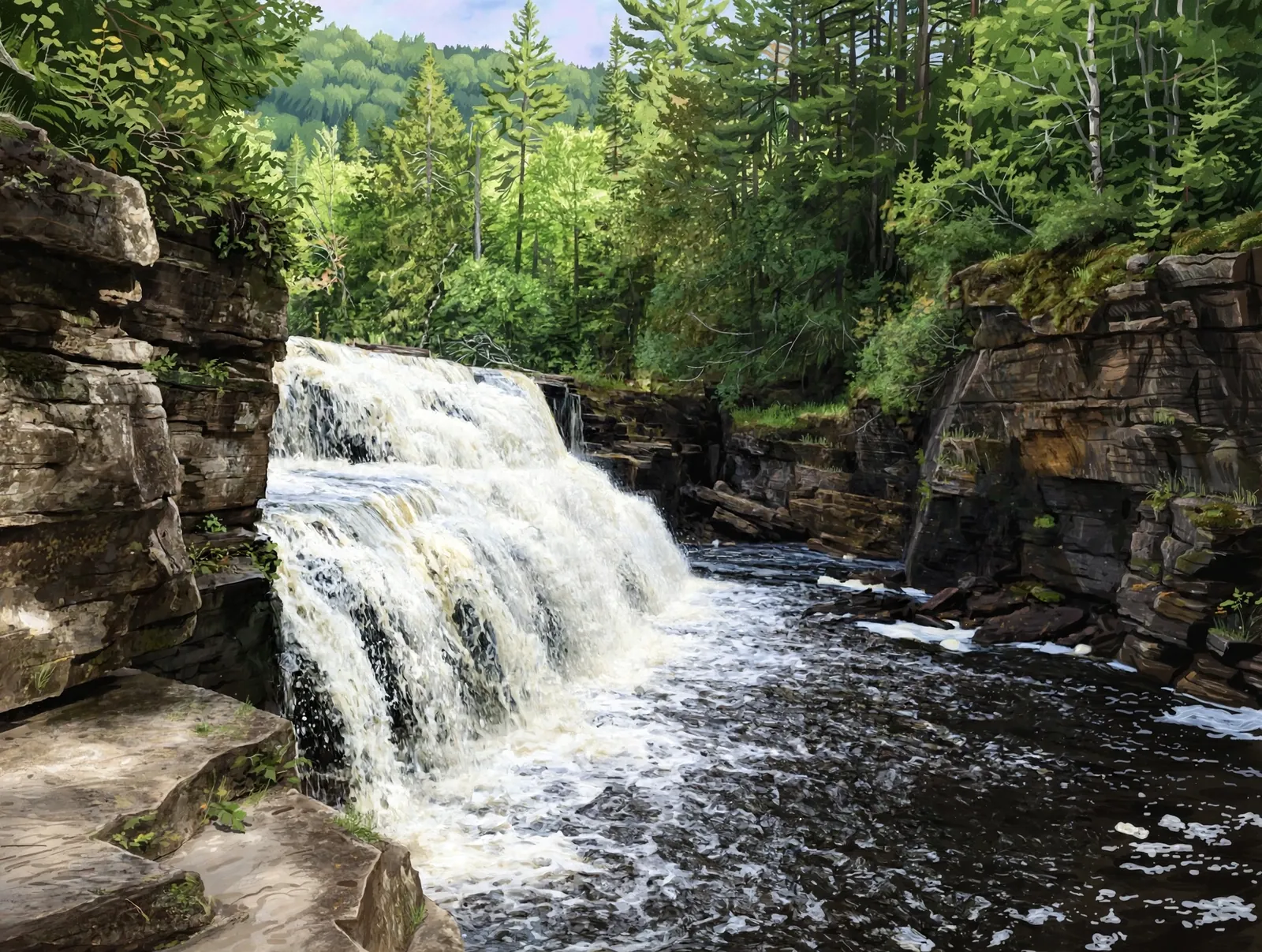
A Sturgeon River waterfall wrapped in a gorge of striking square-cut rock — an easy mile hike south of L’Anse.
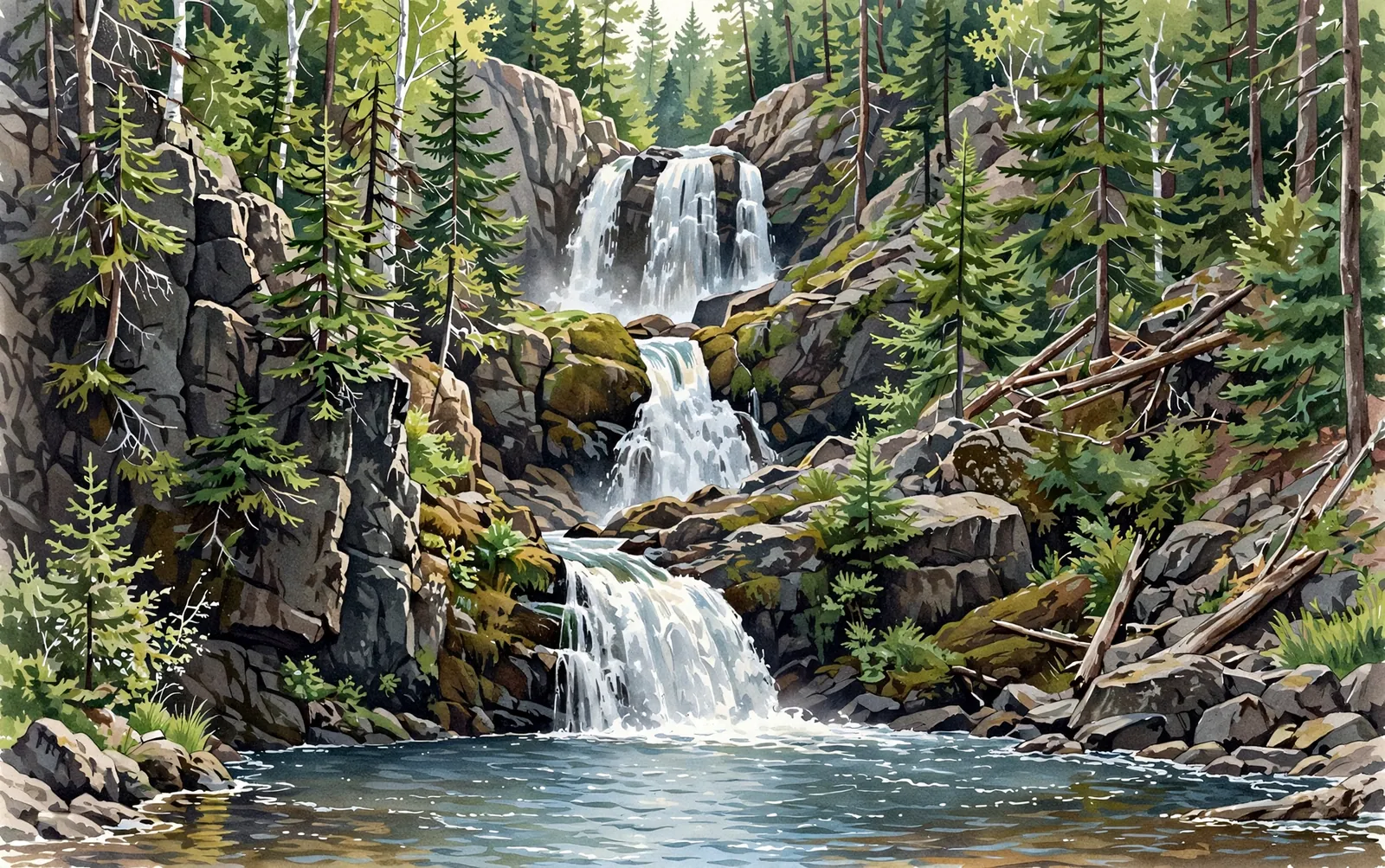
Three major drops and 90 feet of descent in a rugged half-mile gorge — a Marquette-area classic for adventurous hikers.
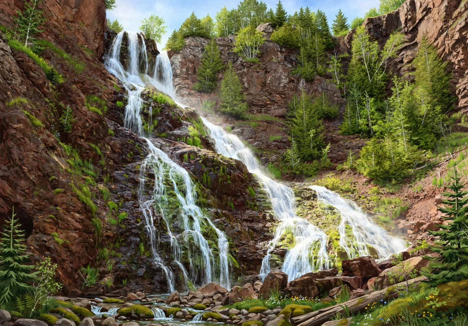
Michigan’s tallest waterfall at about 110 feet — a cliff cascade on Hammell Creek reached by a short walk of roughly half a mile round trip.
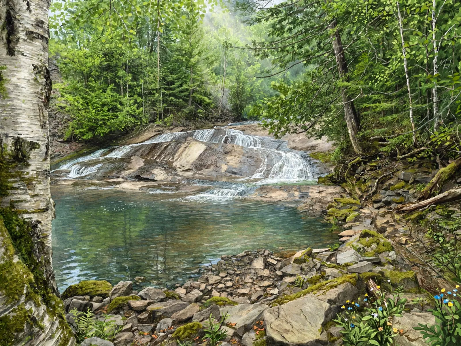
A serene Porkies waterfall on a moderate 1.5-mile hike past the historic Nonesuch Mine site.
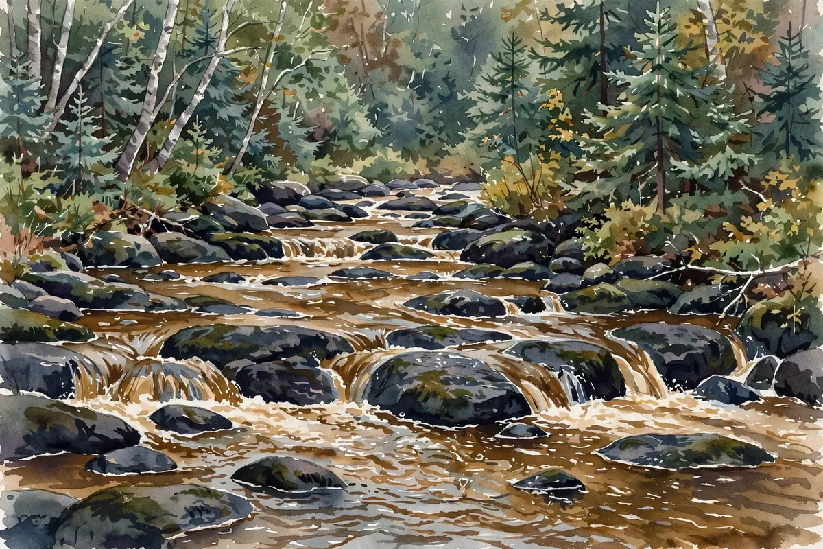
Also called Greenwood Falls — a 0.1-mile walk to cascading water over ancient rock, and a summer swimming hole.

A secluded cascade in the Porcupine Mountains, reached by a short 1-mile round-trip hike through quiet forest.
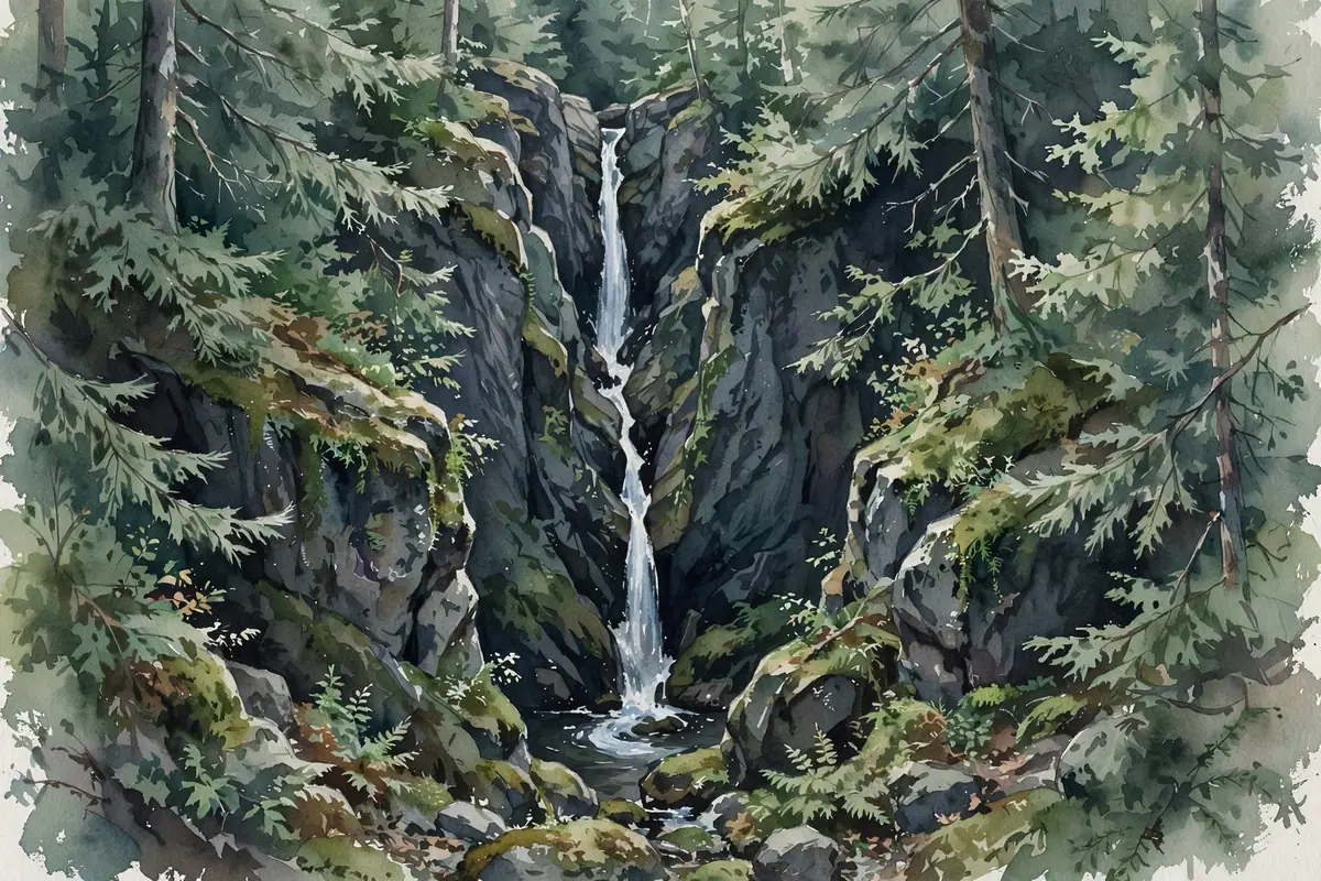
A seldom-visited Ottawa National Forest waterfall near Watersmeet, reached by an old forest road and a short off-trail walk.
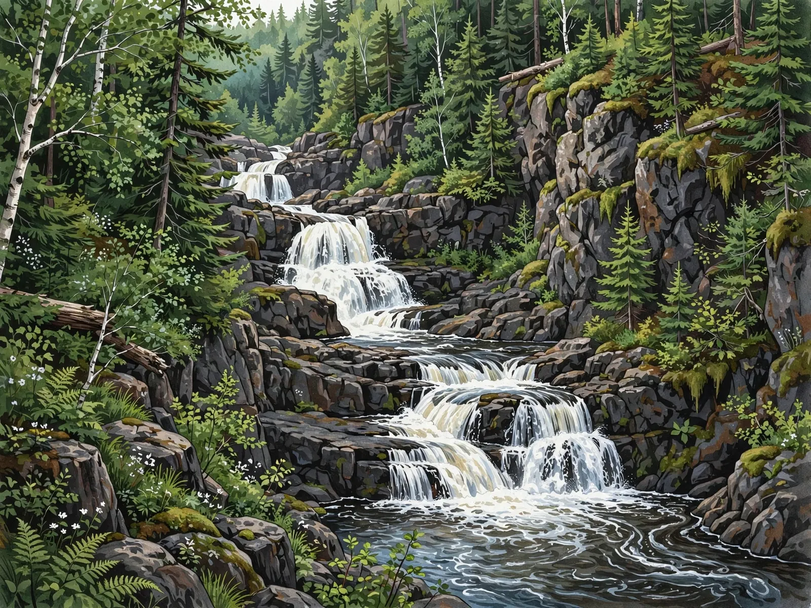
Rocky cascades in the Sturgeon River Gorge Wilderness near Baraga, reached by a scenic 2-mile moderate hike.
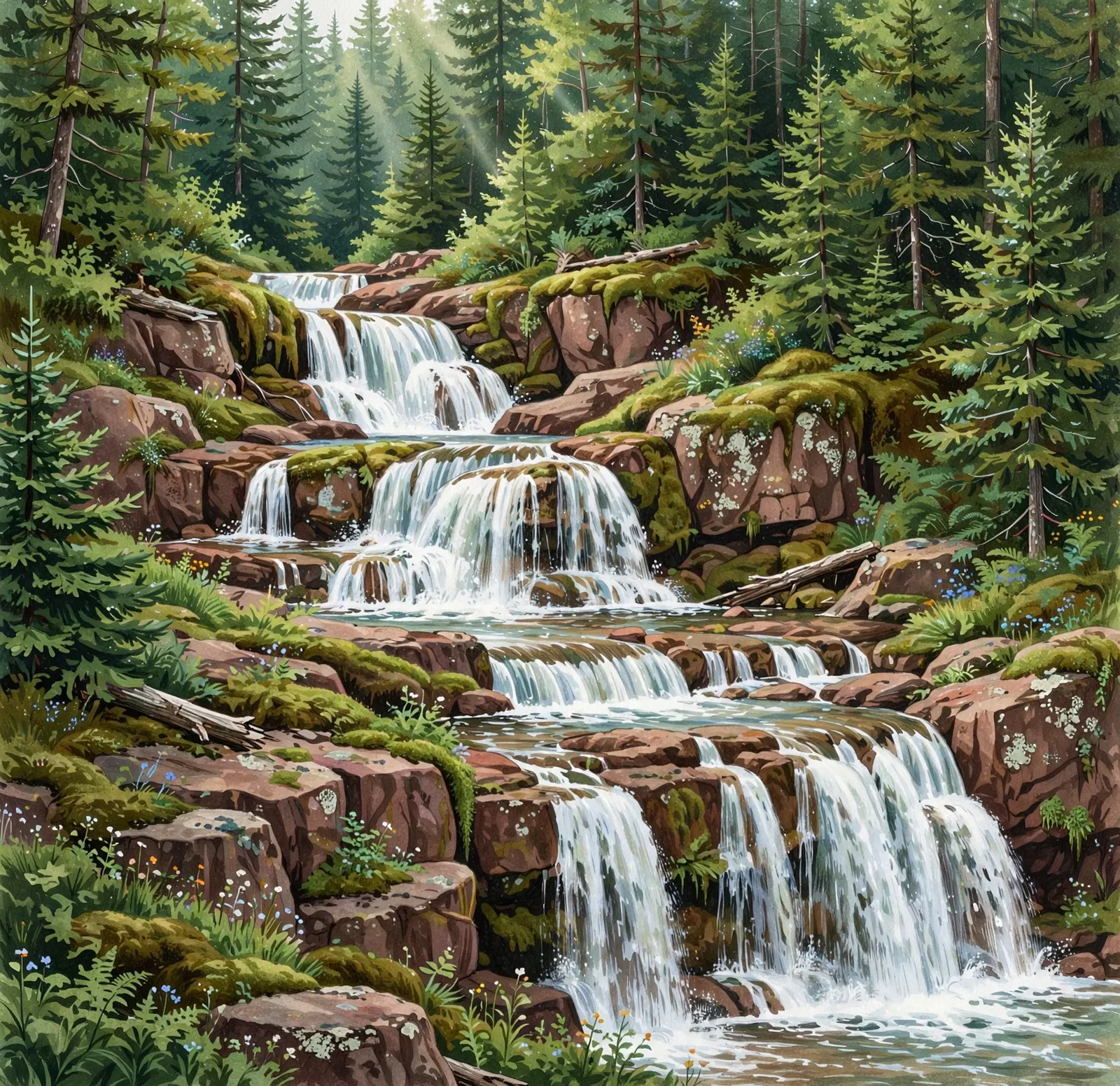
A secluded, multi-tiered cascade in the Ottawa National Forest near Bergland, reached by an easy 1-mile forest hike.
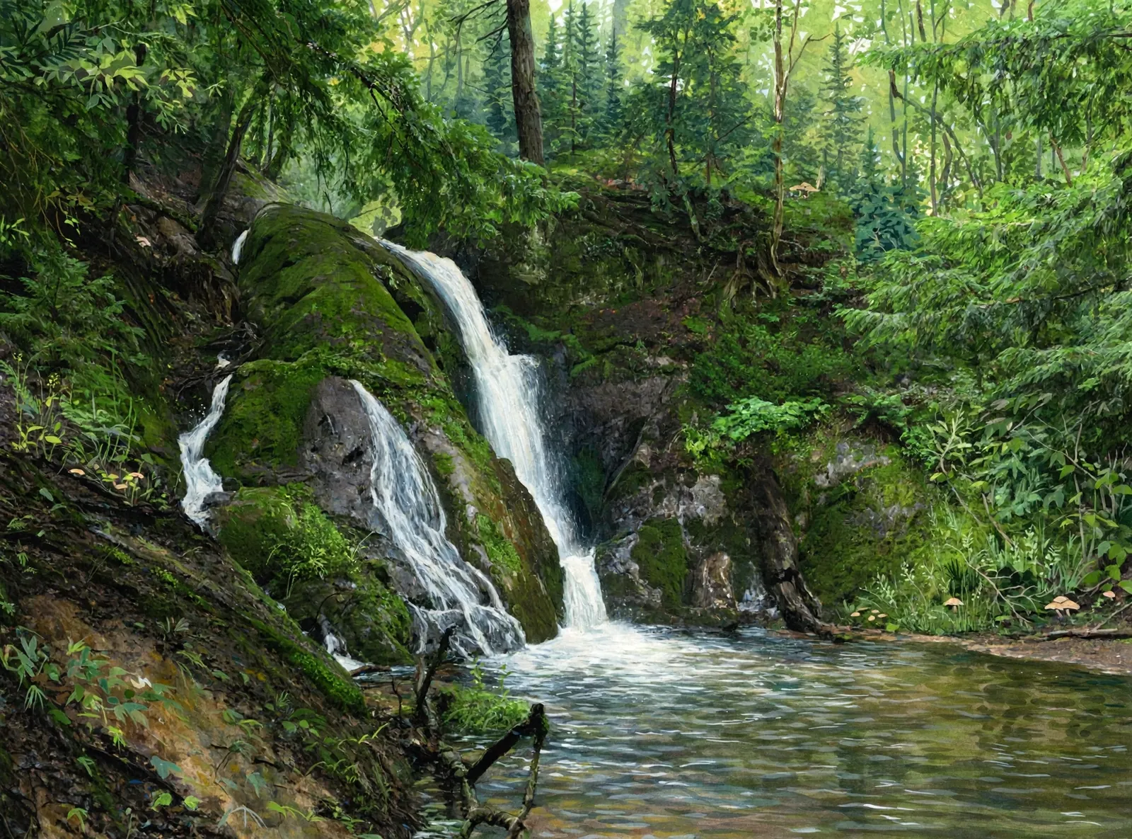
A quiet waterfall reported to be on private land near Marquette, reached by a 1–2 mile off-trail hike. Access is not guaranteed — visit respectfully.

A 60-foot waterfall visible right from the M-26 bridge in Eagle River — one of the most accessible falls in the Keweenaw.
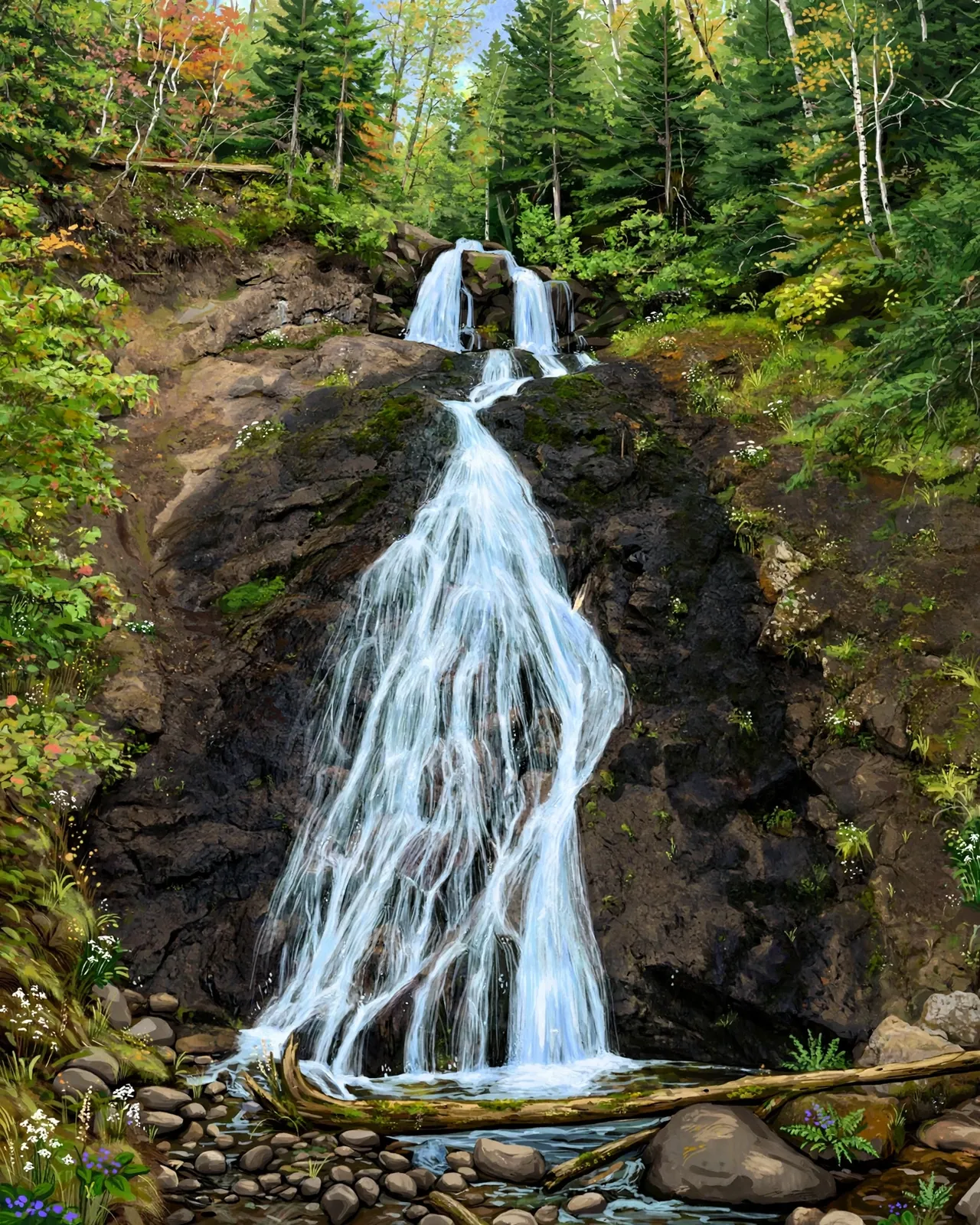
A multi-tiered roadside waterfall on M-26 between Eagle River and Eagle Harbor — easy to visit, hard to forget.

A 25-foot, 150-foot-wide powerhouse on the Presque Isle River — the largest of the Porkies’ three river falls, a half-mile walk away.

A multi-tiered hidden waterfall near Marenisco, reached by an easy 1-mile round-trip trail through quiet forest.
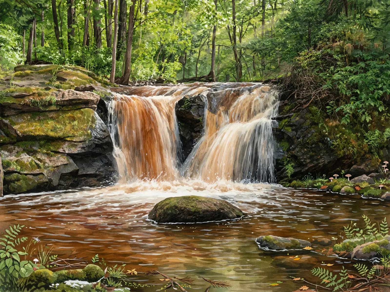
A sudden drop of about 5 feet down a dark ridge on Planter Creek near Wakefield, reached on foot from an open clearing on Thomaston Road.
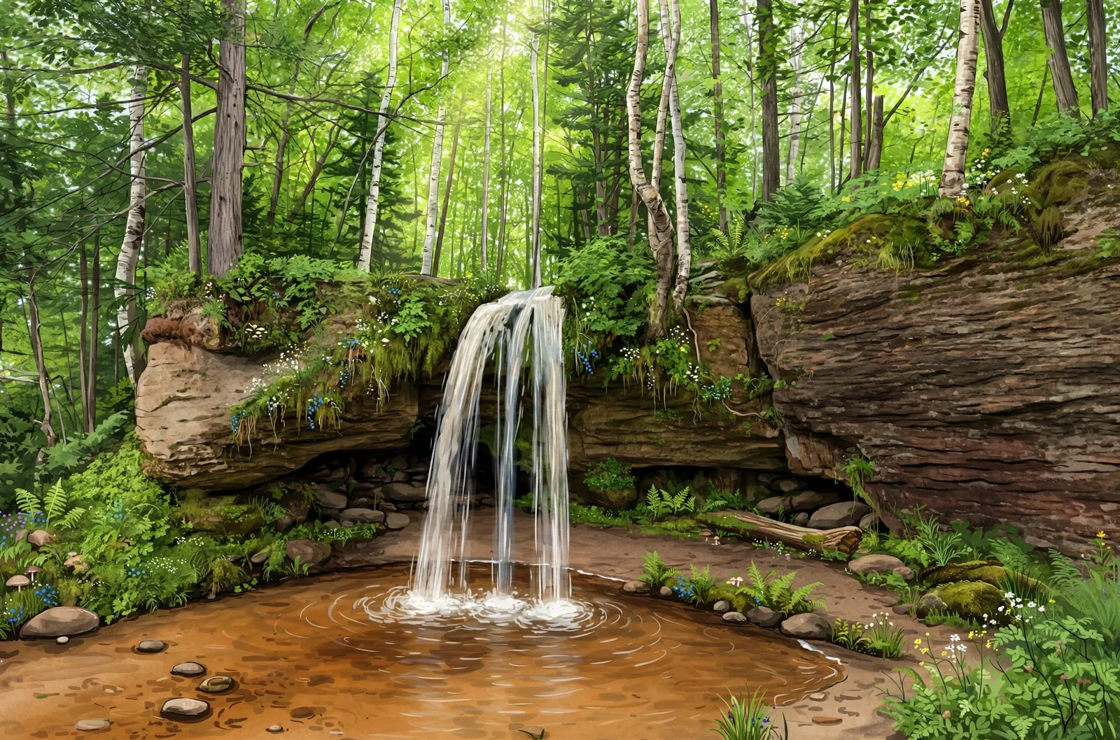
A 10-foot roadside cascade on M-28 east of Au Train — pull off the highway and walk behind the falls into a shallow cave.
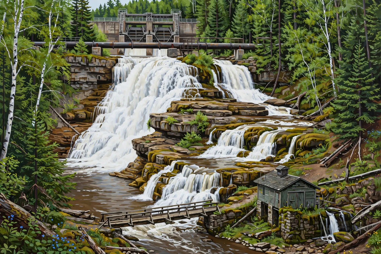
Two distinct drops on the Au Train River — a wild 40-foot upper cascade below the hydro dam and mossy 10-foot lower slides past a footbridge — with flow that depends on dam releases.
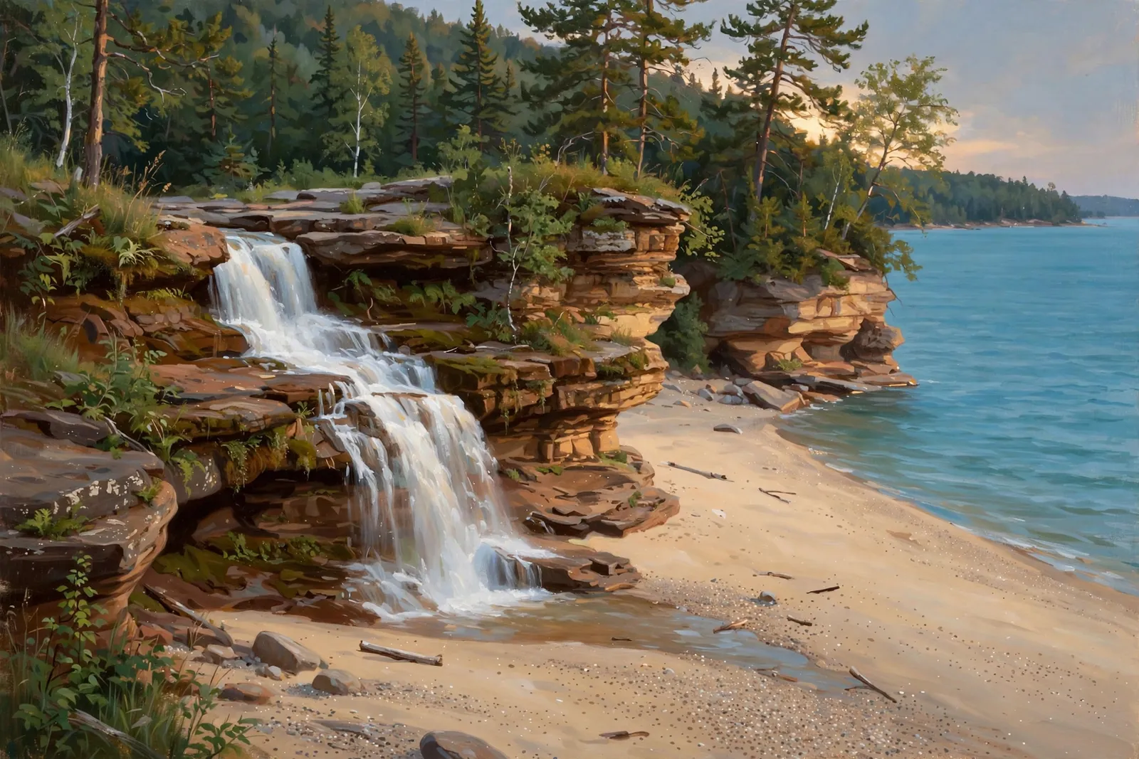
A small waterfall of about 2 feet near Chapel Beach in Pictured Rocks, at the end of the 6.2-mile round-trip hike past Chapel Falls and Chapel Rock.
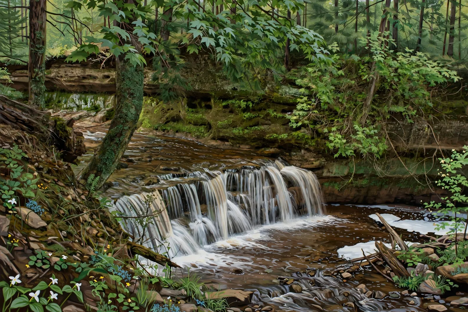
A pretty, off-the-beaten-path 10-foot cascade in Hiawatha National Forest, reached by a moderate 2.4-mile hike on the Autrain Songbird interpretive trail.
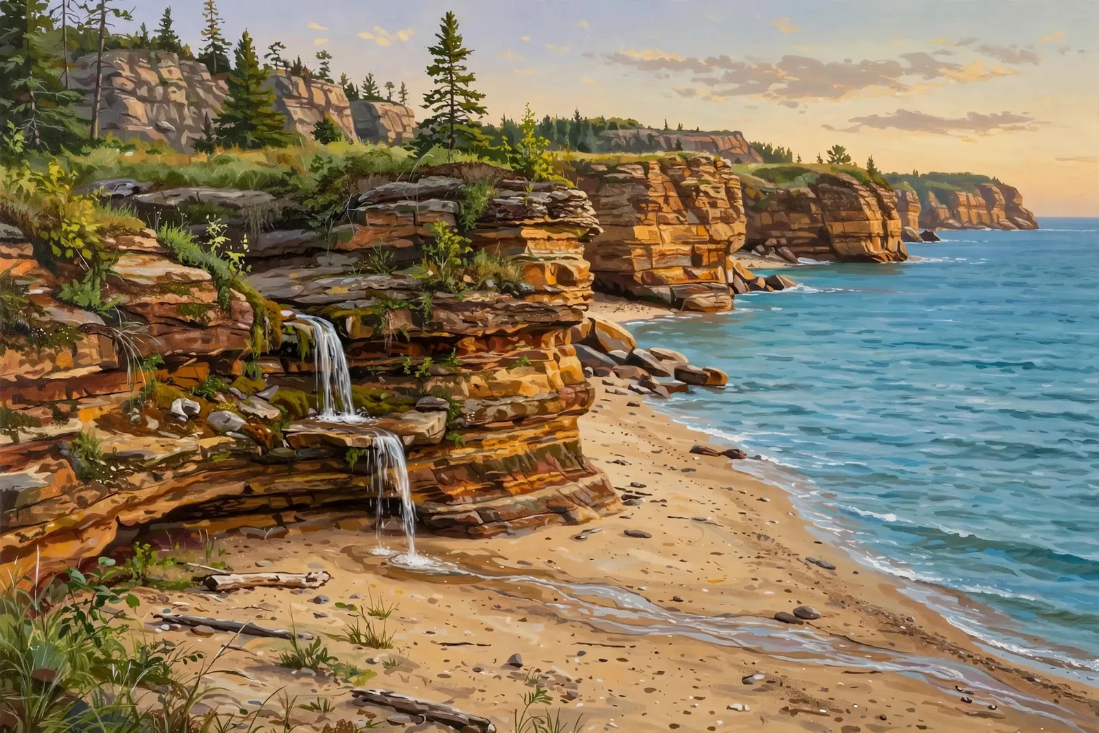
A small waterfall of about 2 feet at the far east end of Miners Beach, where the beach meets the cliffs, a couple of hundred yards from the beach staircase.
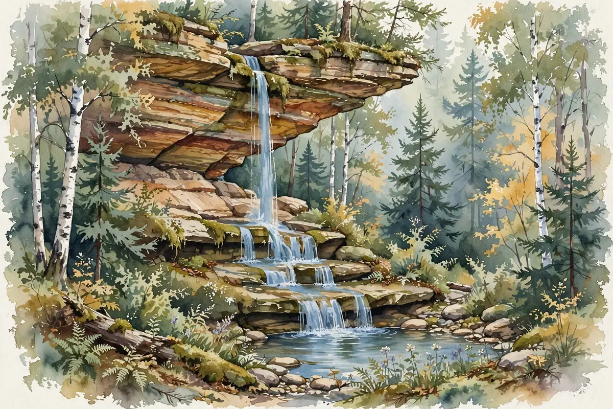
A spring-fed 20-foot cascade on private grounds in Munising — trout pond, botanical garden paths and a gnome scavenger hunt, reached through the gift shop.
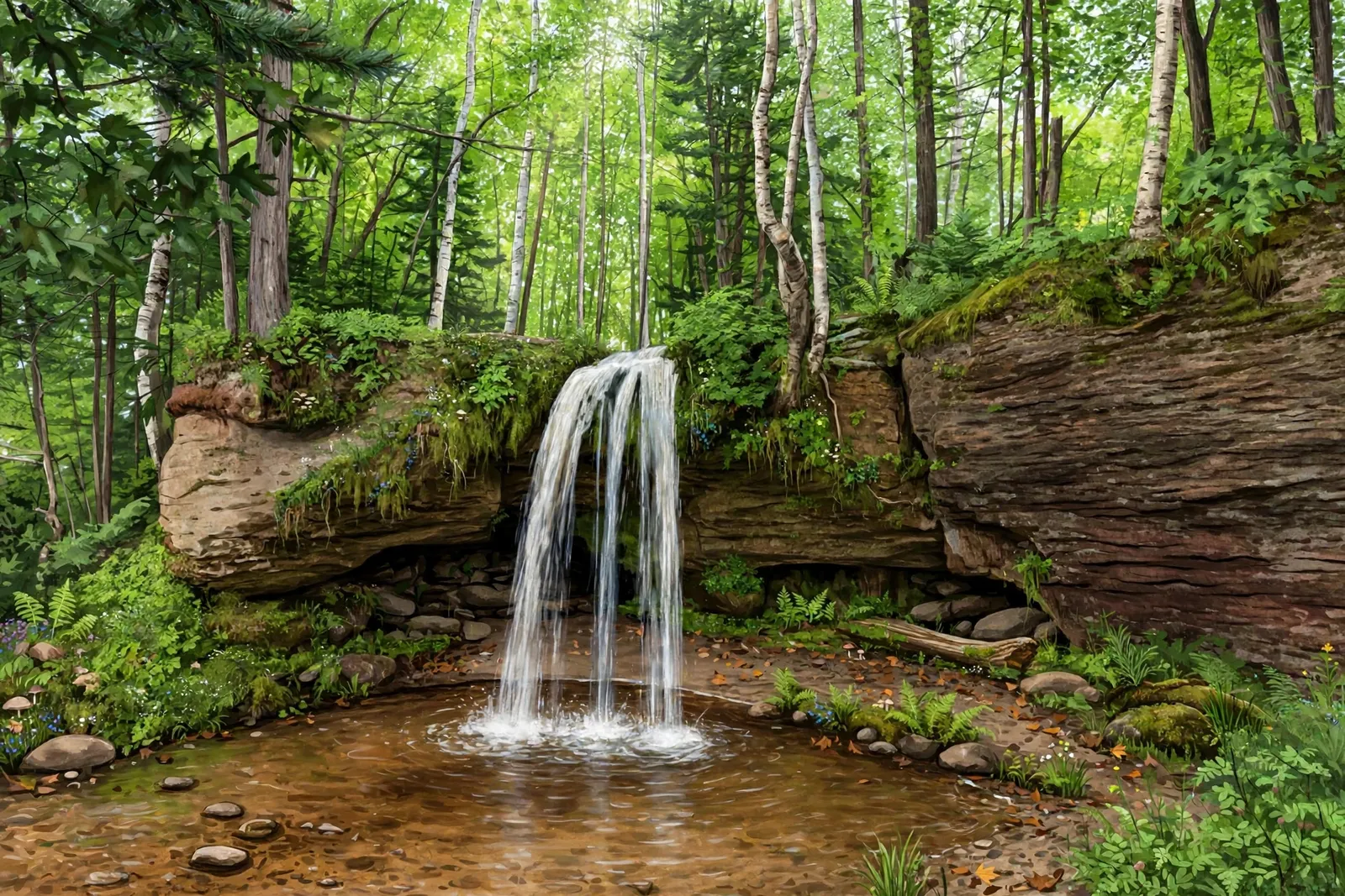
A little-published Alger County waterfall — reliable details on its location, height and access could not be confirmed, so verify conditions locally before visiting.
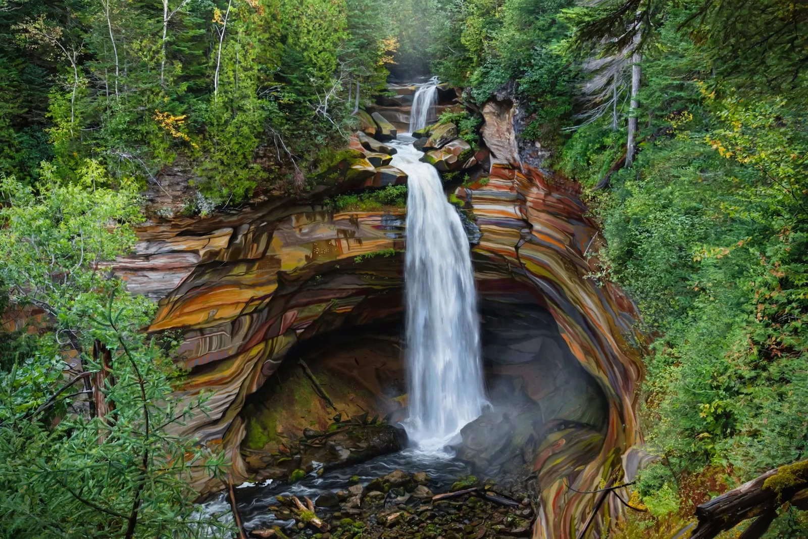
A wild waterfall on the Little Miners River — a plunge comparable to Miners Falls that pours over a deep recess cave, reachable only off-trail.
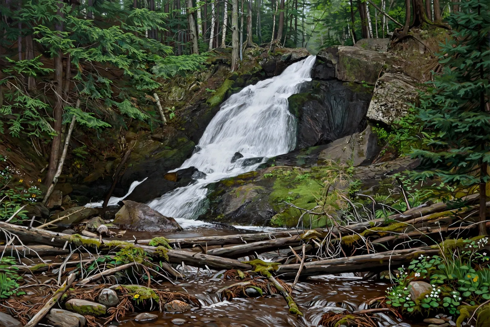
A chain of four drops on Alder Creek totaling about 30 feet — the largest, about 10 feet, fans over black rock in a narrow gorge south of Big Bay.
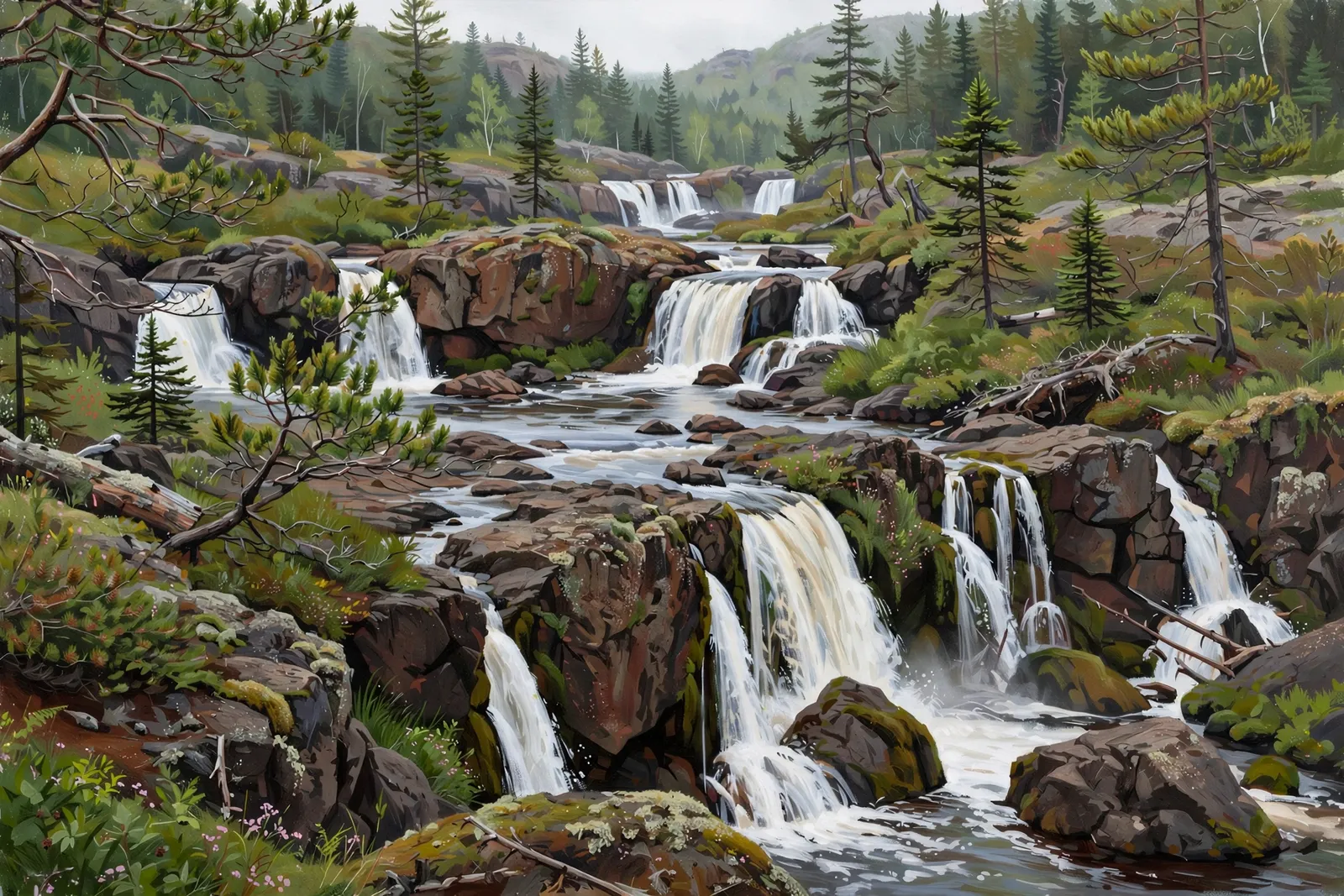
A set of drops on the Big Garlic River in the Huron Mountain foothills, reached by a short walk from Gold Mine Road.
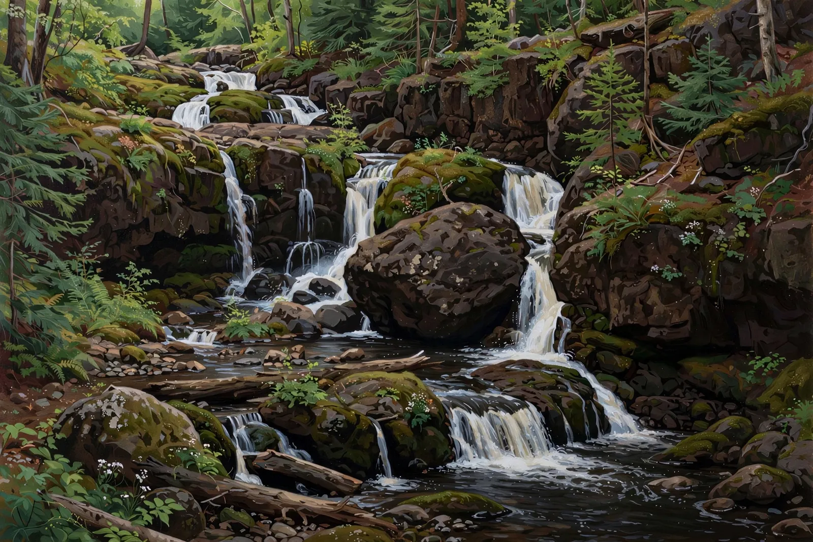
A 20-foot multi-drop cascade off CR 510 near Big Bay — a short, easy walk to a small but magical little falls.
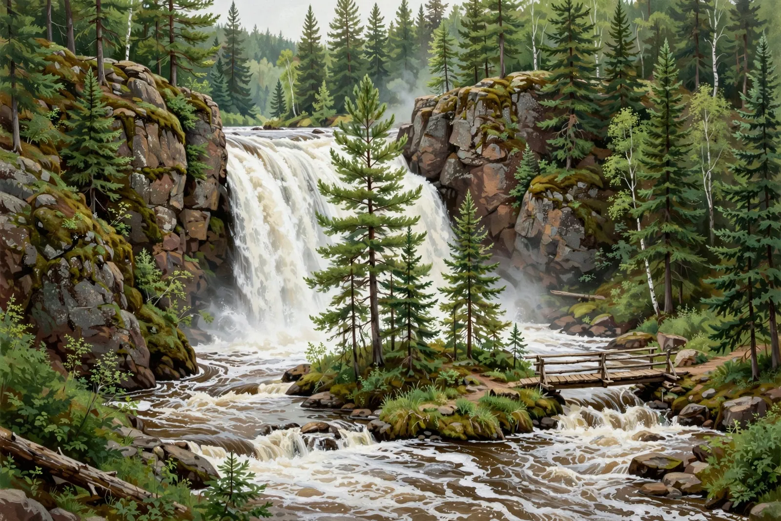
A 30-foot total drop on the Black River south of Ishpeming, ending in a plunge of about 15 feet — reached by a dirt road, with the old river-island footbridge now closed.
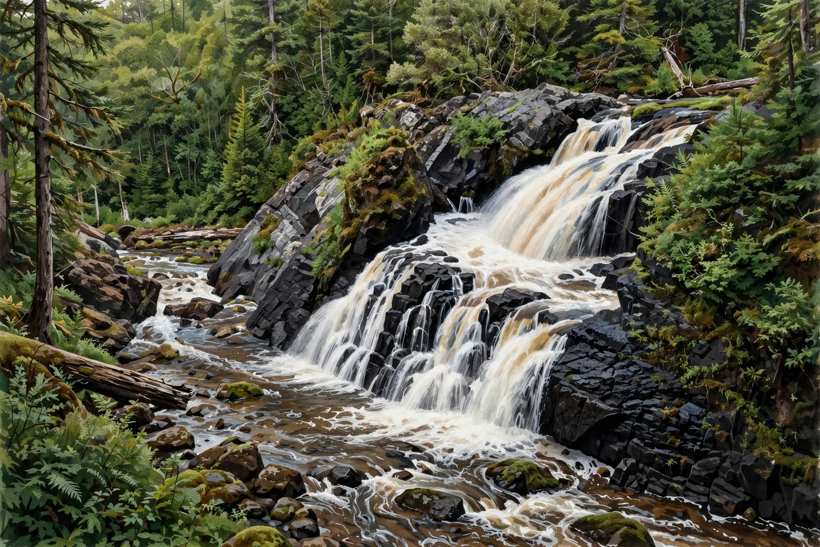
A long run of about seven drops, roughly 100 feet in total, on the Yellow Dog River in the McCormick Wilderness, reached by an unmarked trek of about 5.5 miles round trip.
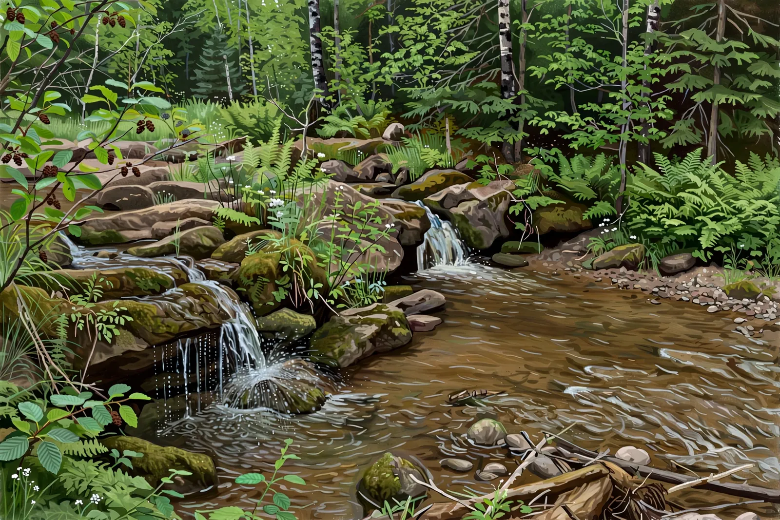
A very small drop where Bushy Creek meets the Yellow Dog River — sources put it at roughly 4 to 12 feet, and the creek is known among prospectors for gold flakes.
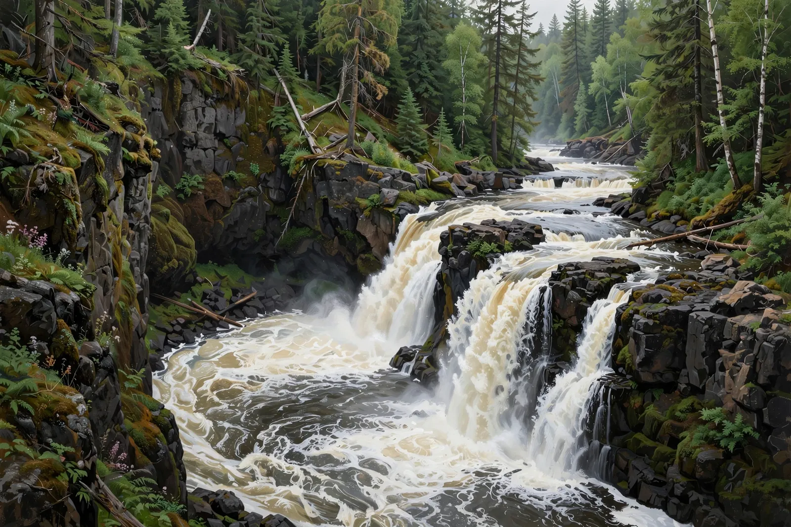
A large, roaring 30-foot multi-drop falls on the Carp River — a challenging half-mile scramble upstream of Morgan Falls.
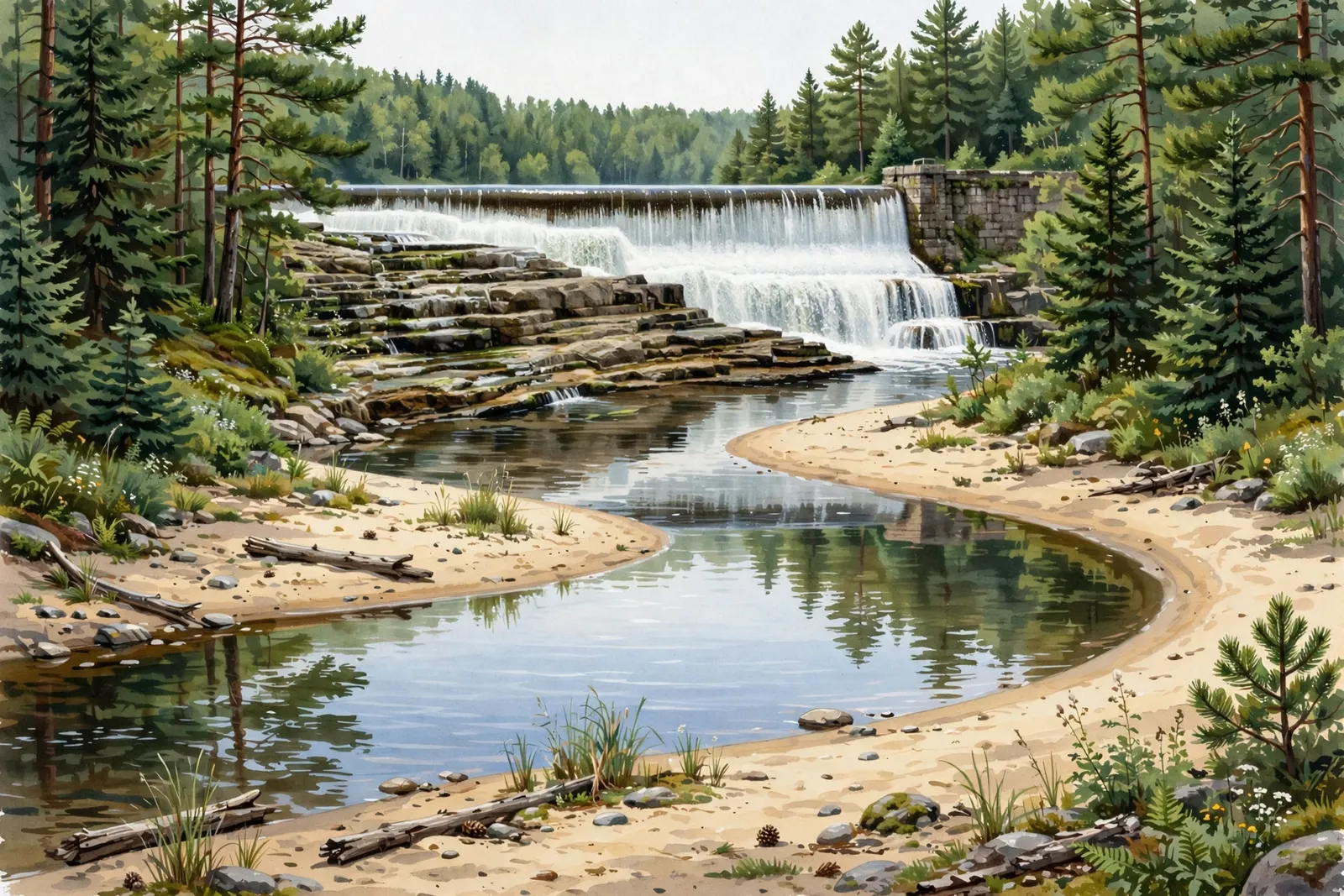
A rocky, natural-looking spillway below the dam at Cataract Basin on the Middle Branch Escanaba River, north of Gwinn, with lower falls near a sandy bend.
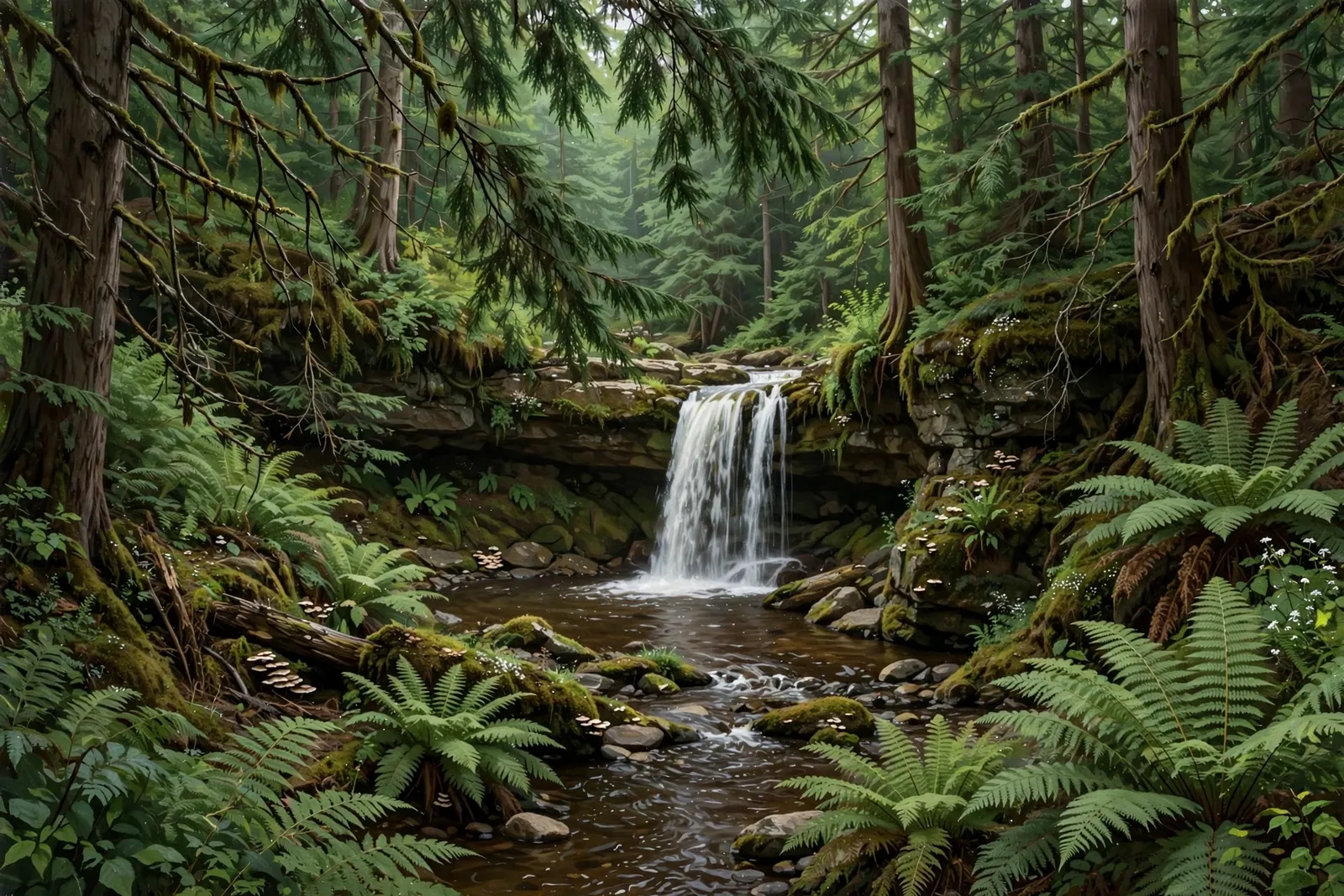
A 10-foot chain of sliding drops on Cedar Creek, with the main falls on private Huron Mountain Club land.
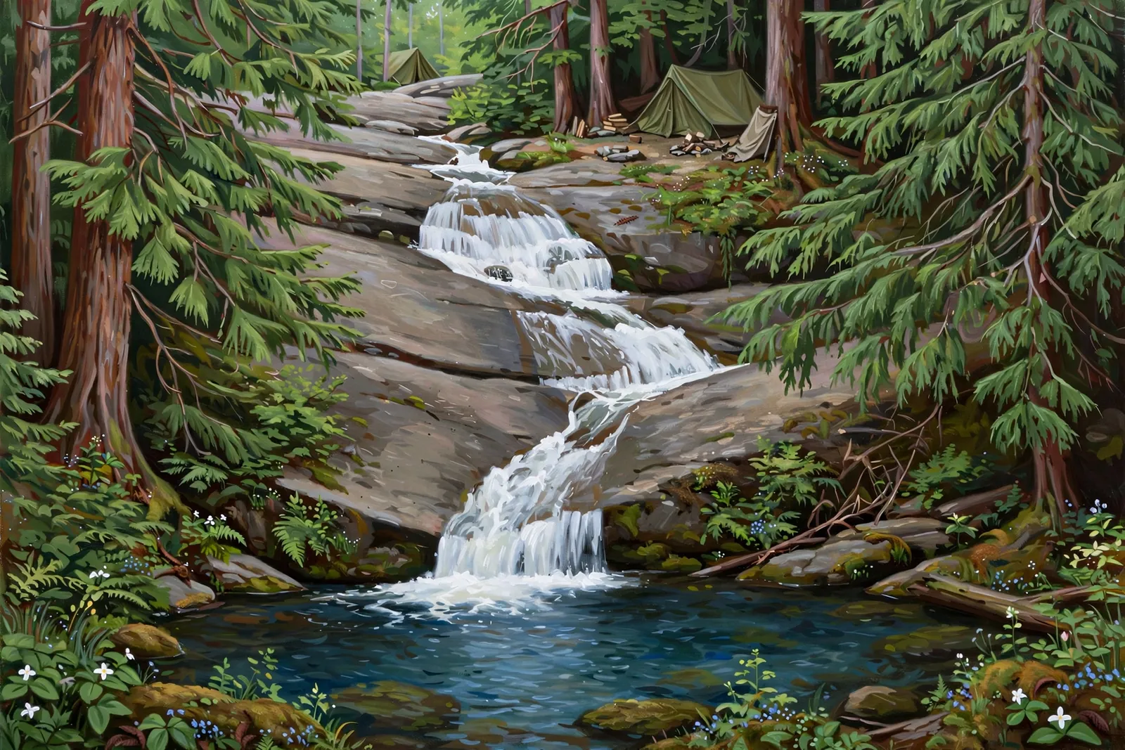
A long, gentle 40-foot slide down a granite slab on the Cliff River, also called Forty-Foot Falls, with a camp site above it.

A rugged 10-foot cascade on the West Branch Peshekee River northeast of Michigamme, on private land.

A small two-drop cascade on Ely Creek squeezed between jagged rocks south of Ishpeming — an unmarked, secluded stop for adventurous explorers.

An artificial falls where overflow from Forestville Dam drops about 30 feet into a rugged cut of rock on the Dead River near Marquette.
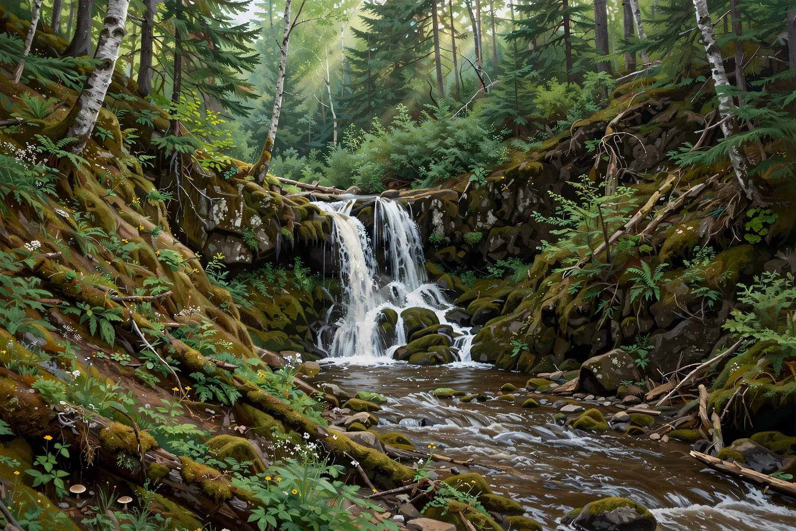
A two-drop falls of about 8 feet in total on the East Branch of the Salmon Trout River at the edge of the Huron Mountain Club, also called Twin Falls; reaching it takes a very long bushwhack.

A long chain of small drops, about 50 feet in all, on Holyoke Creek near the Forestville Basin north of Marquette.

A small rocky slide beside a large rock wall on the Little Garlic River, emptying into a deep pool — a long, well-marked wilderness hike in the Elliot Donnelley Wilderness.
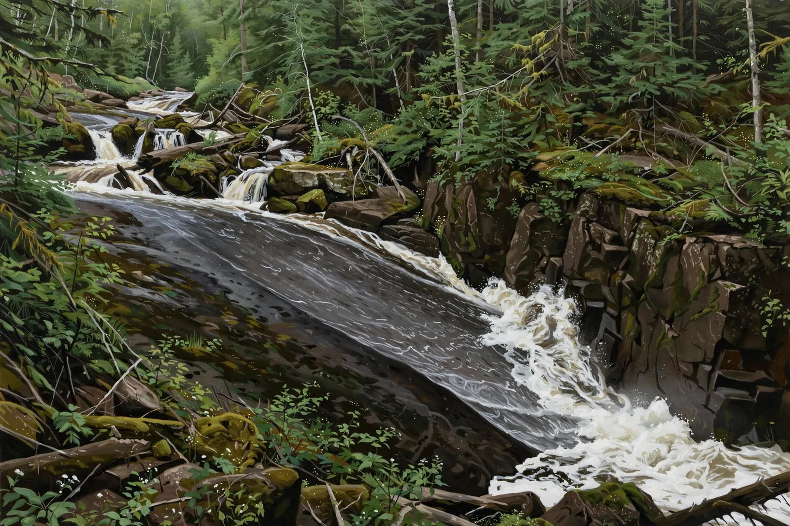
A 7-foot sideways slide on the Big Garlic River that crashes into a rock wall; both banks are private.

A small tumble of about 3 feet over boulders on the Cliff River, listed by Waterfalls of the Keweenaw as Lower Cliff Falls, just above a canyon in remote Huron Mountain country.
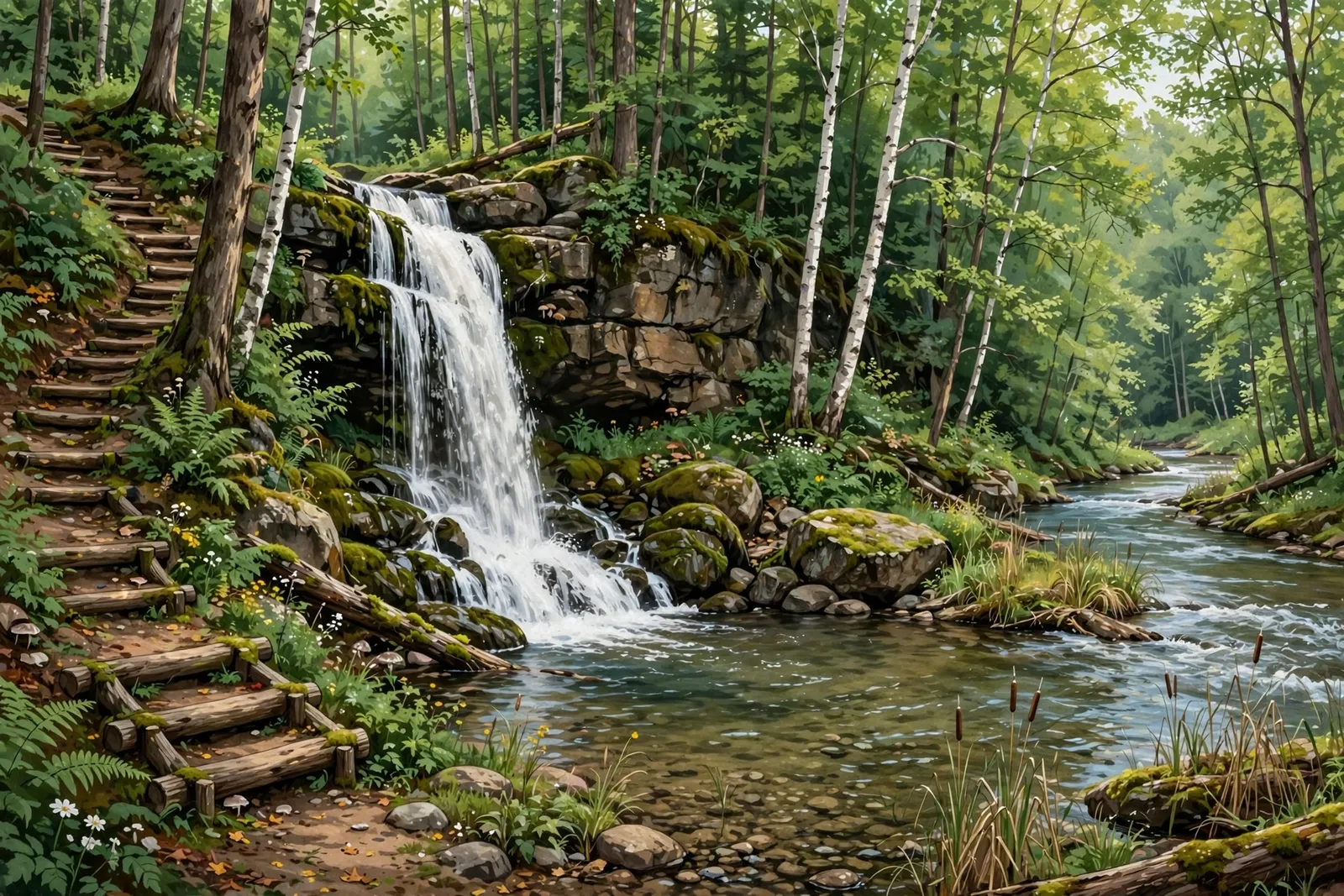
A 20-foot waterfall on Morgan Creek where it meets the Carp River — reached by an easy multi-use trail from the NTN South Trailhead, popular with hikers and mountain bikers.

A five-foot drop where shallow Morgan Creek bends over blocky rocks upstream of Morgan Falls — a short stroll from a pull-off, when the rough two-track allows.

A long series of chutes and plunges, about 40 feet in all, on Mulligan Creek at the north end of the remote Mulligan Plains.
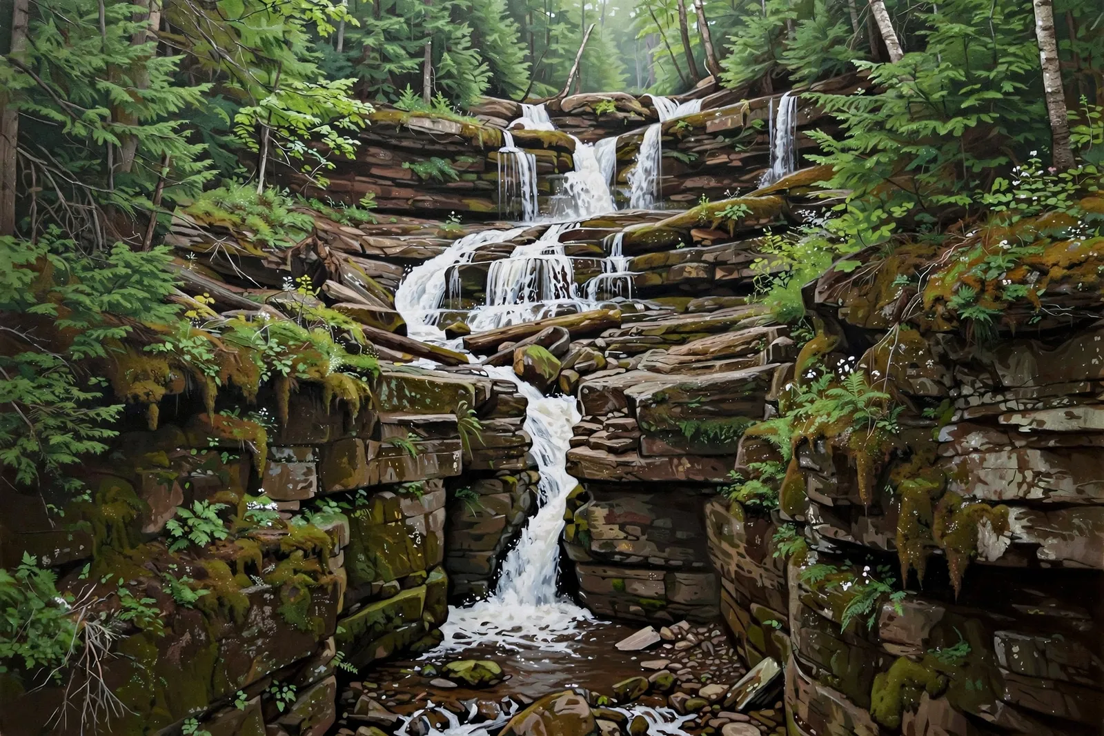
A sliding chute of about 30 feet on the West Branch of the Yellow Dog River in the McCormick Wilderness, a short walk from the river along an unmarked route.
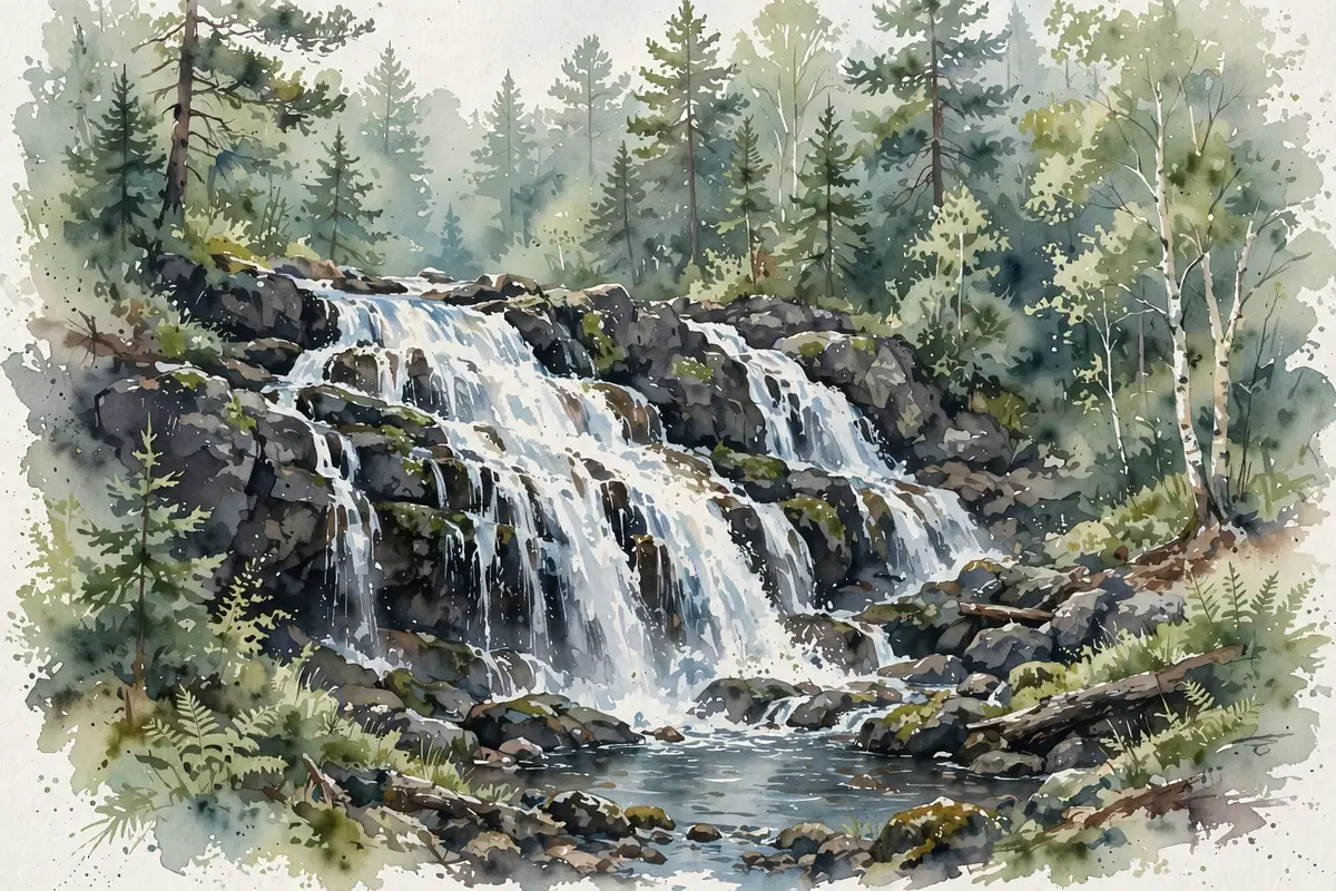
A roaring two-tiered, 20-foot waterfall on Schweitzer Creek, tucked into thick woods a few hundred yards off County Road 565.
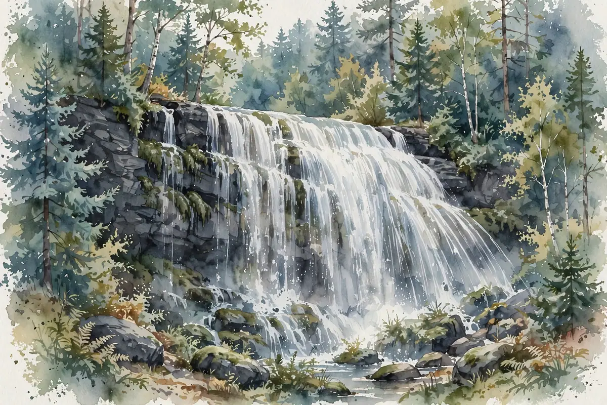
A 20-foot plunge on Warner Creek, visible right from M-35 just south of Palmer — one of the easiest waterfalls in the county to see.

A three-pronged little waterfall on Reany Creek near Marquette, visible from the Forestville Road bridge.
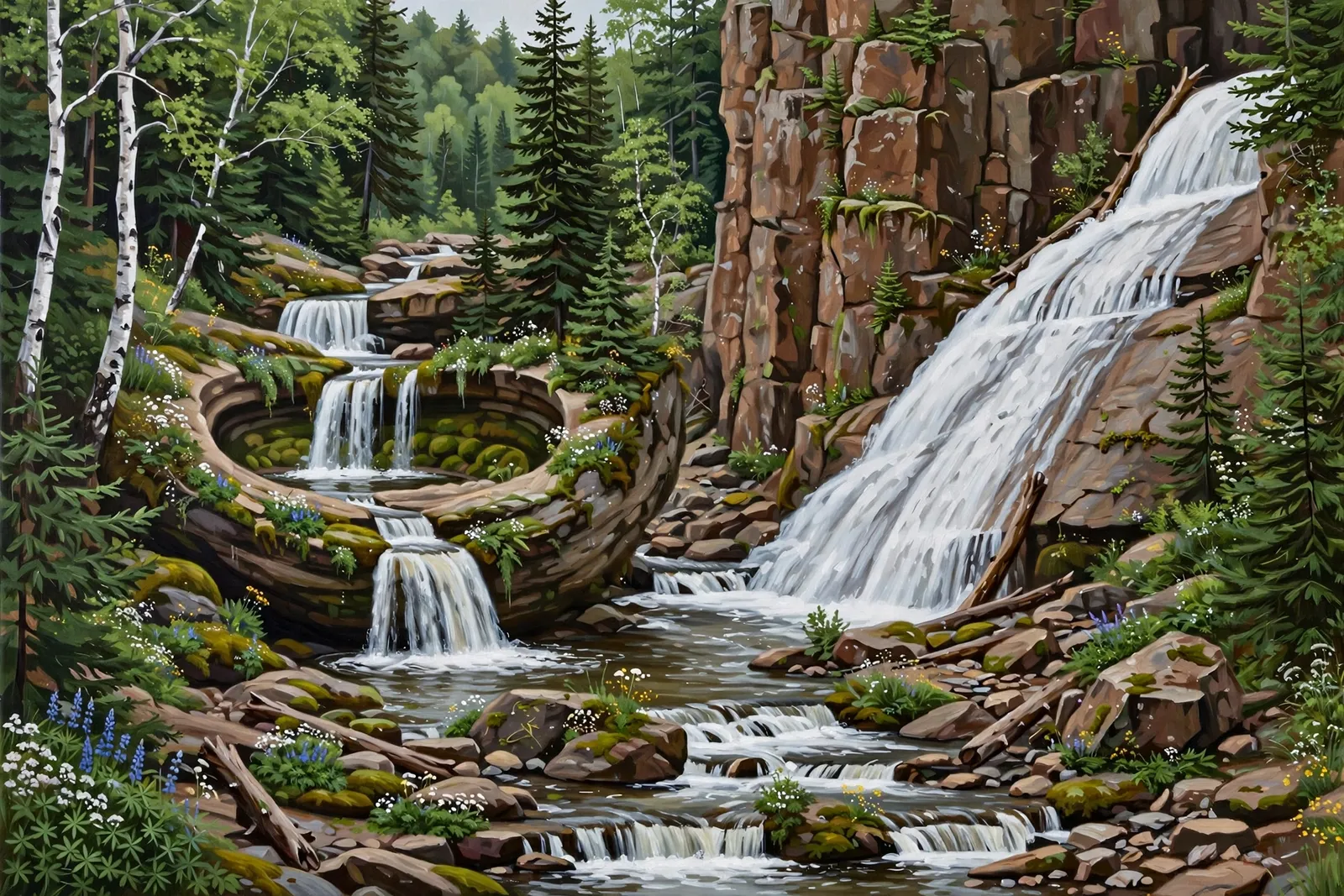
A small series of drops in a sharp little gorge just outside Ishpeming — a bowl-shaped plunge and a wide slide by a tall cliff.

A small 5-foot domed drop on the East Branch Chocolay River south of Skandia; the easiest way in crosses private land.

A short 4-foot drop squeezed between two bedrock mounds on the Middle Branch Escanaba River; the road ends at a gated private cabin.

A seeping series of cracks and plunges, about 50 feet in all, where the Rocking Chair Lakes outflow drops off the cliffs beside Mulligan Plains.
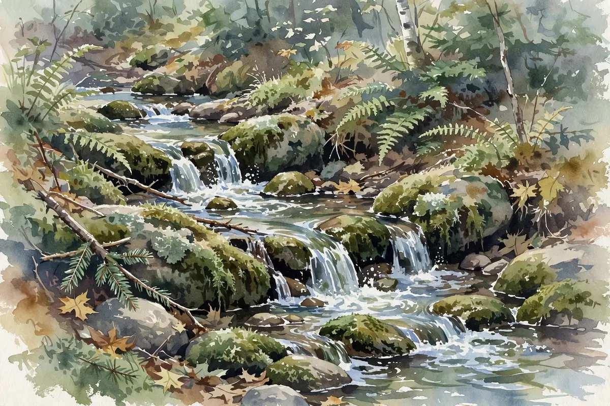
A very small drop of about a foot on Schweitzer Creek near Palmer, difficult to reach because of cabins along the shore.
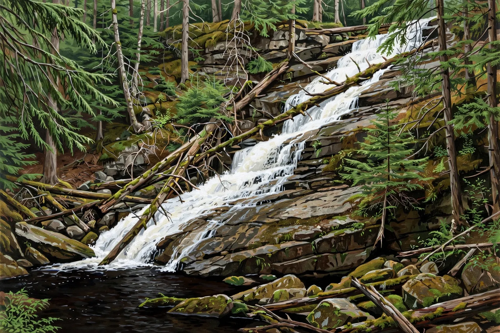
A long, jumbled 15-foot chute on Cedar Creek inside the private Huron Mountain Club, with no public access.
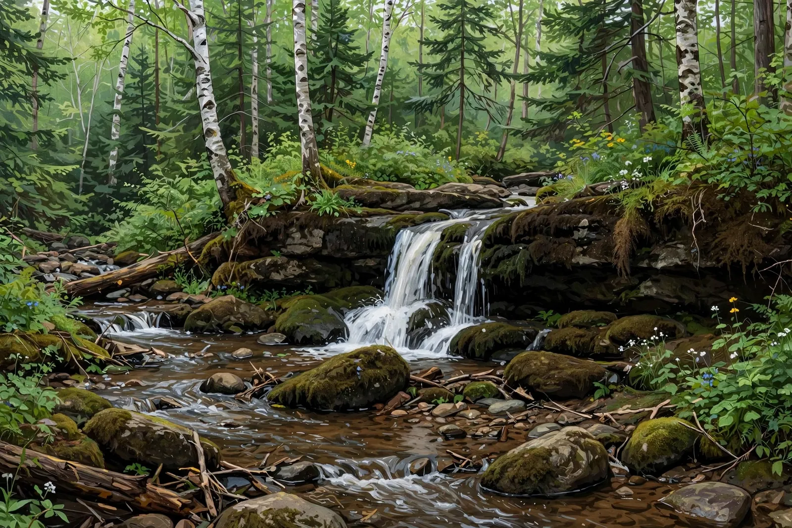
A humble rapids of about 6 inches on the Yellow Dog River at the site of a long-gone logging dam, with cabins along the north bank.

A small waterfall on Deer Creek, a tributary of the Big Iron River about 7 miles northwest of Bergland, with no maintained trail.
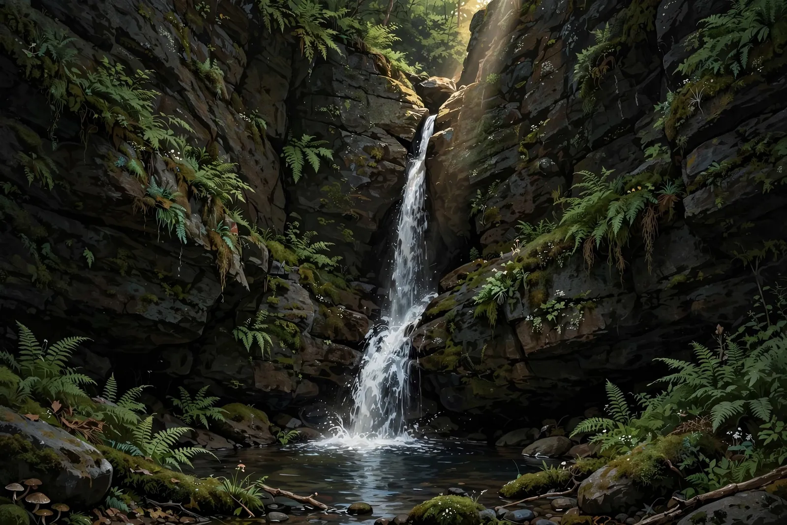
A sharp 10-foot plunge down a narrow crack into a small pool, tucked inside towering rock walls on Gleason Creek near Ontonagon — a deep-canyon adventure with no maintained trail.

A small cascade on the Little Carp River in Porcupine Mountains Wilderness State Park — about a 0.75-mile walk from the trailhead on a marked path with boardwalks.
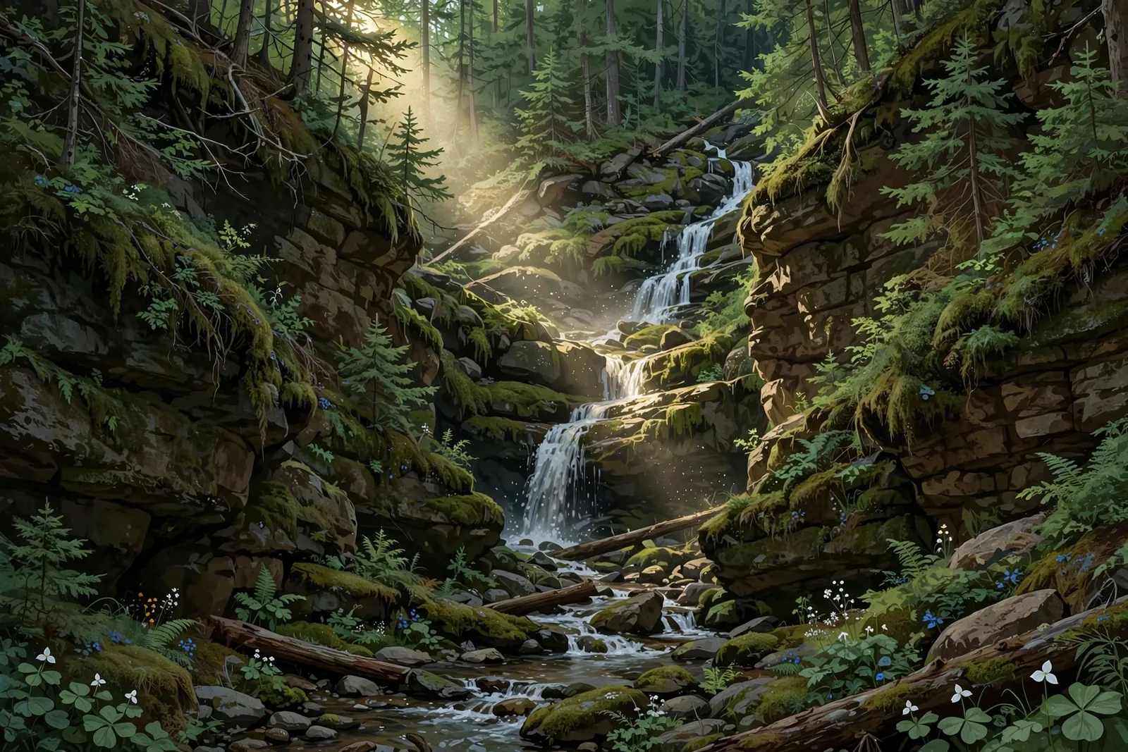
A small cascade in a deep rocky gorge on Anderson Creek north of Bergland, listed at about 30 feet and reached only off-trail.
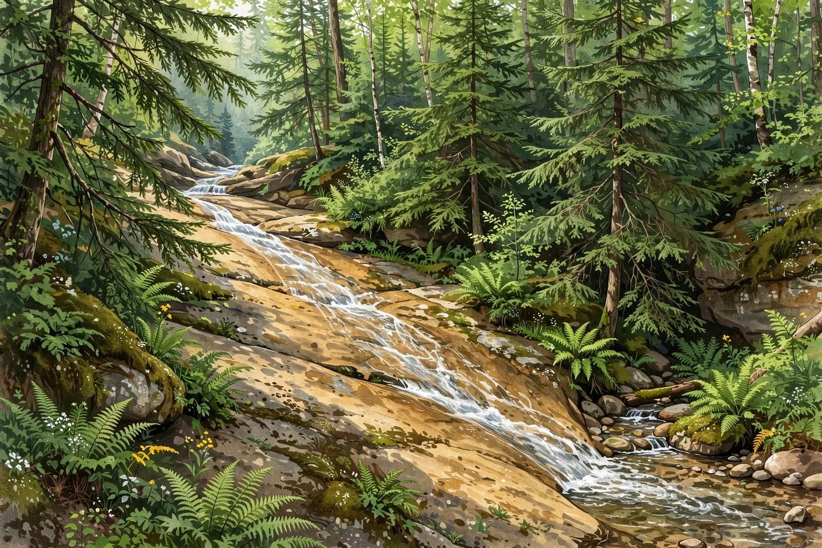
A 25-foot slide on the Little Union River in Porcupine Mountains Wilderness State Park — part of a gorge full of slides and cascades, reached from the Union Mine Trail area.
A small, remote cascade on the Presque Isle River near Wakefield — one of the river’s quieter, lesser-visited drops in a deep forest setting.
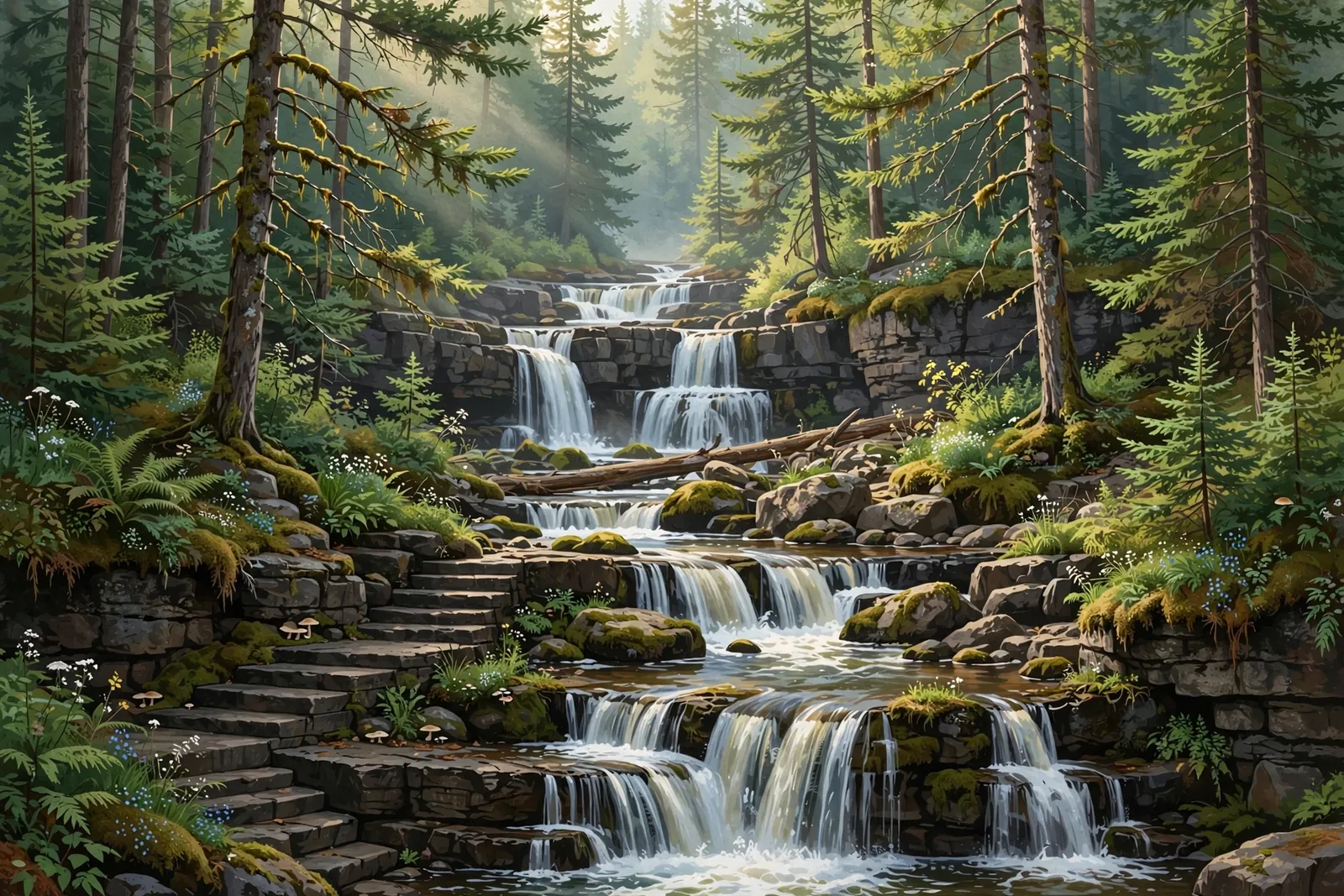
A series of rapids dropping about 15 feet in total on the Presque Isle River, where the river splits around a large island; there is no trail.
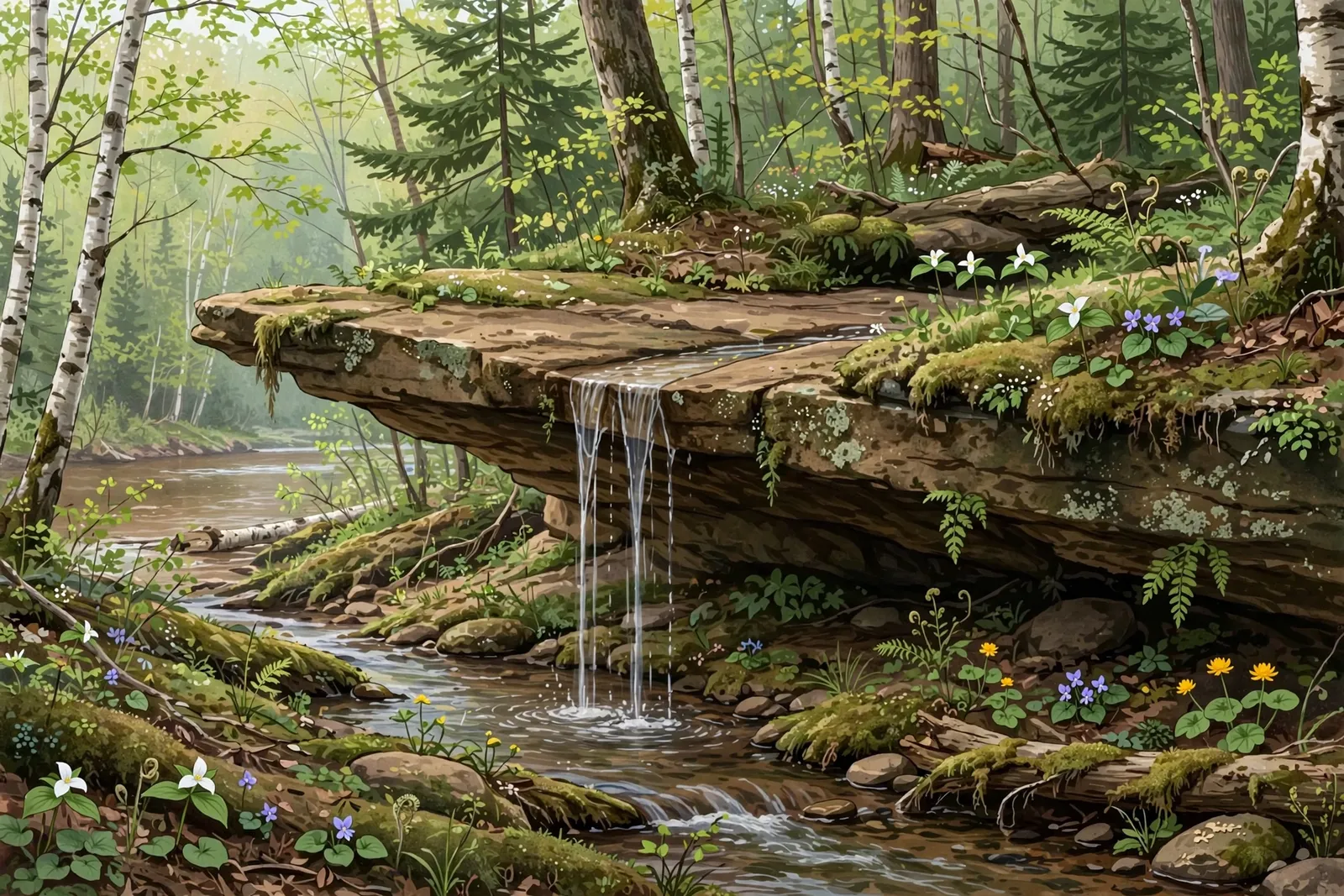
A small 2-foot drop off a sandstone shelf on Plover Creek, with a larger ledge of about 10 feet a short way upstream, near the Ontonagon River.
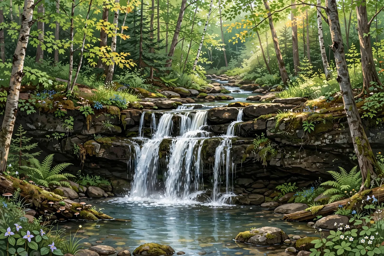
A 12-foot cascade on Rapid River near Bergland — a small, picturesque forest falls that rewards a quiet detour into the woods.

An 8-foot, three-drop slide on Bluff Creek near Bruce Crossing — a short 0.6-mile bushwhack through dense brush to a quiet little falls.
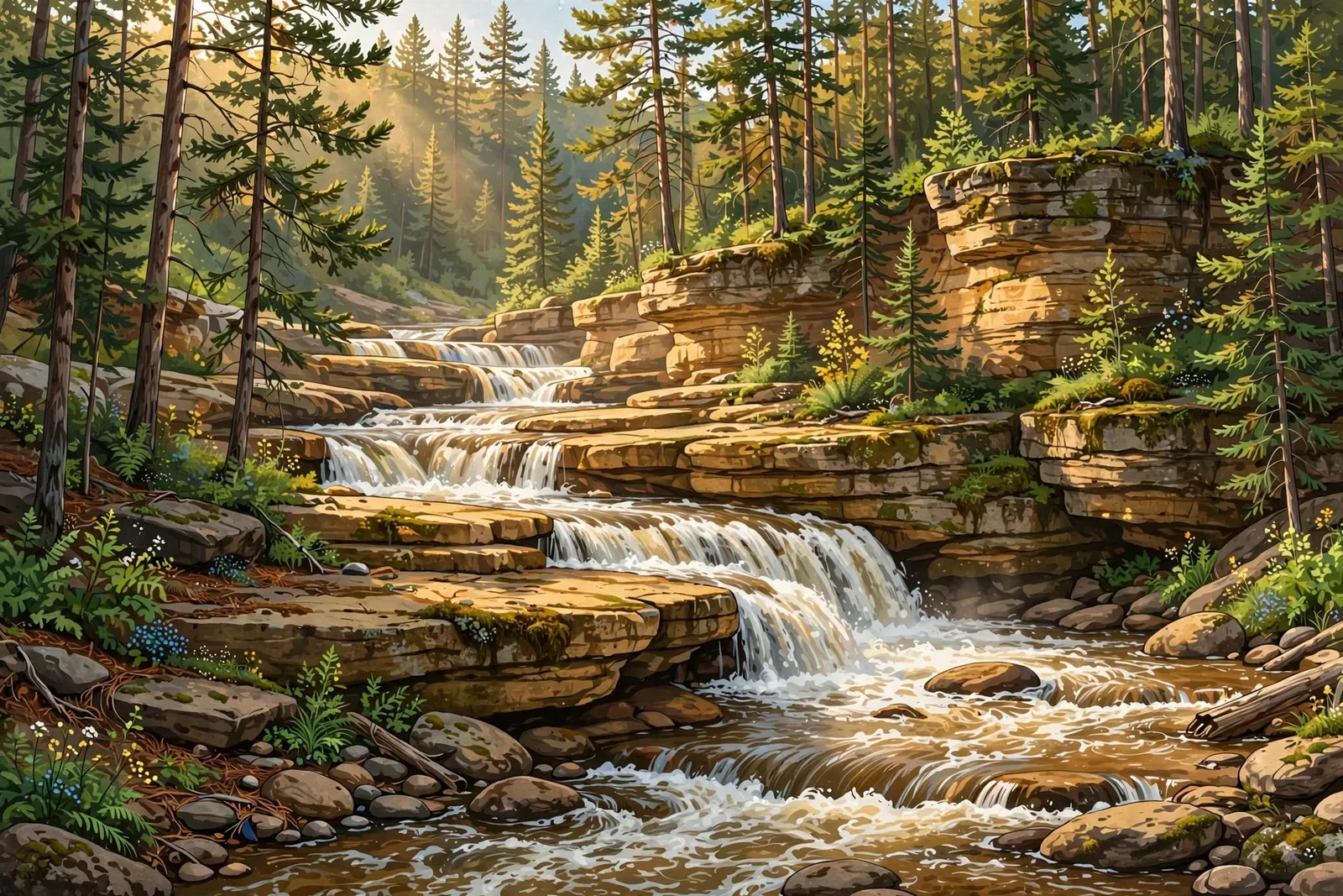
A cascade tumbling over broad sandstone ledges on the West Branch Ontonagon River near Rockland — a 1.2-mile easy out-and-back on a Forest Service trail. Not the Black River’s Sandstone Falls.

A 15-foot drop into a deep pool on the Upper Carp River in Porcupine Mountains Wilderness State Park, reached on the Government Peak Trail.
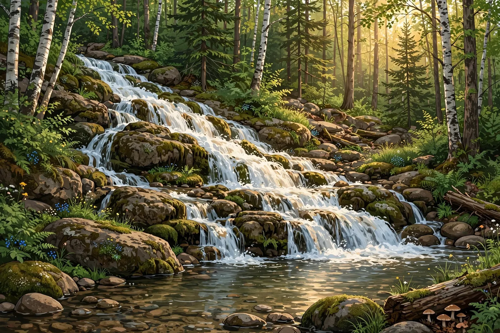
A long, low slide of about 5 feet on the East Branch Firesteel River north of Lake Mine, reached by two-tracks and an ATV trail.
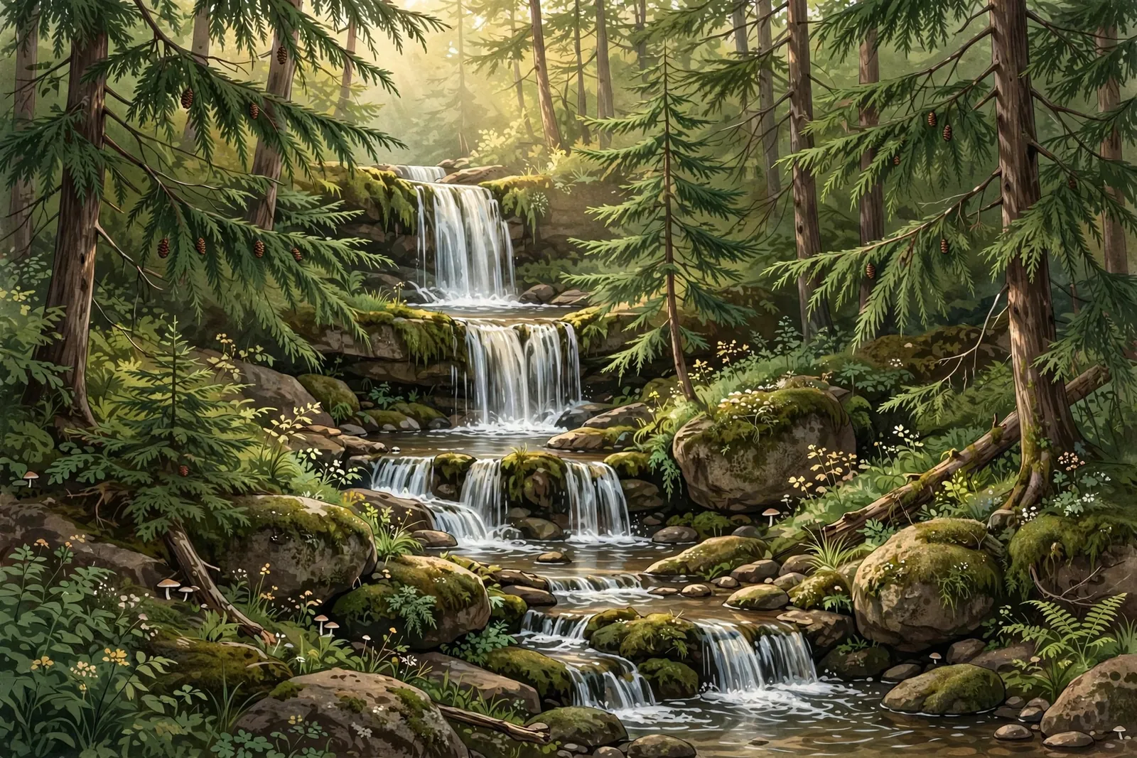
A 16- to 20-foot tiered sequence on Scott and Howe Creek near Watersmeet — a 6-foot drop, a 4-foot drop, and smaller cascades through cedar and hemlock, with no maintained trail.
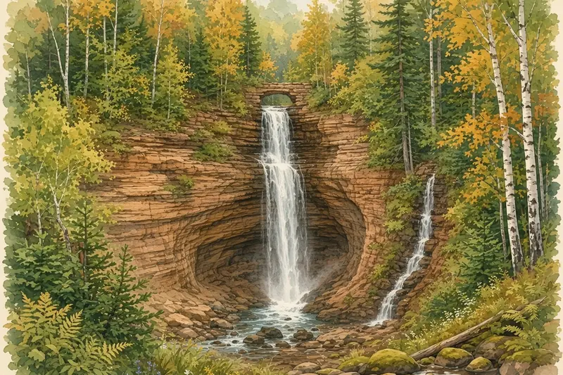
Two 40-foot drops in adjoining sandstone gorges near Munising — walk behind both falls and spot the natural arch between them.
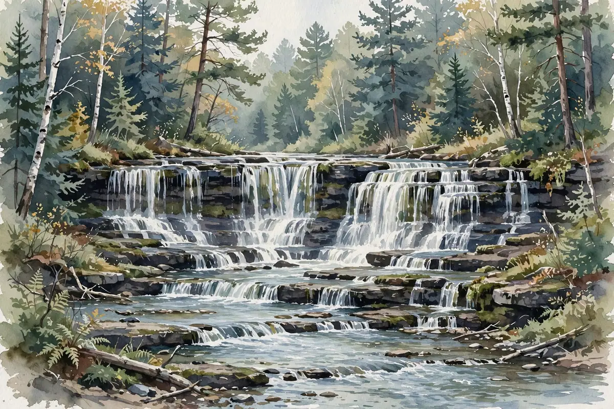
A small tiered cascade over rock shelves on the Mosquito River, reached on a 2-mile round trip from the Chapel trailhead in Pictured Rocks.
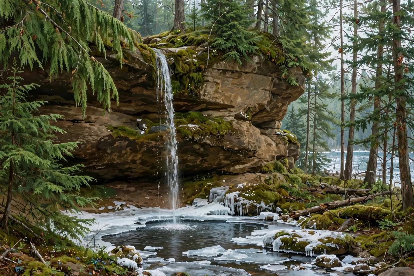
A thin seasonal plunge, roughly 20 to 30 feet depending on the source, off a sandstone cliff near Miners Beach, reached by a short uphill spur from the Lakeshore Trail parking area.
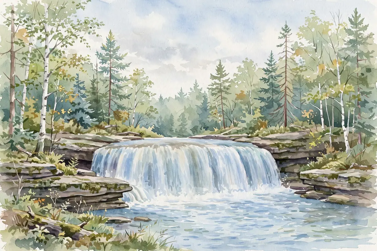
A 15-foot cascade in a remote sandstone canyon deep in the Rock River Canyon Wilderness — the reward for a rugged hike near Chatham.
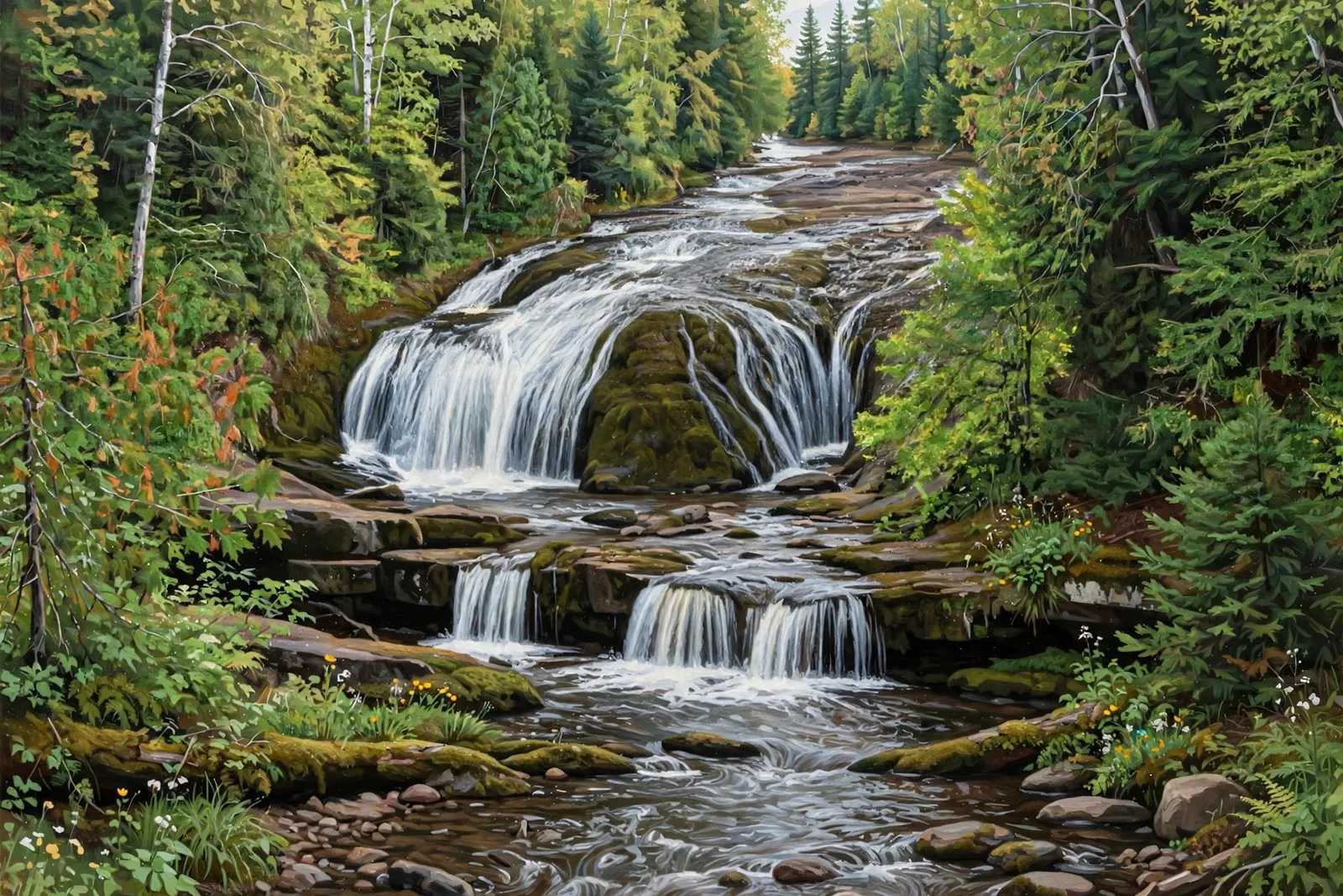
A seasonal waterfall of about 30 feet on Nelson Creek in the Hiawatha National Forest north of Chatham, also called Silver Bell Falls, reached by a rough forest road and a short trail.
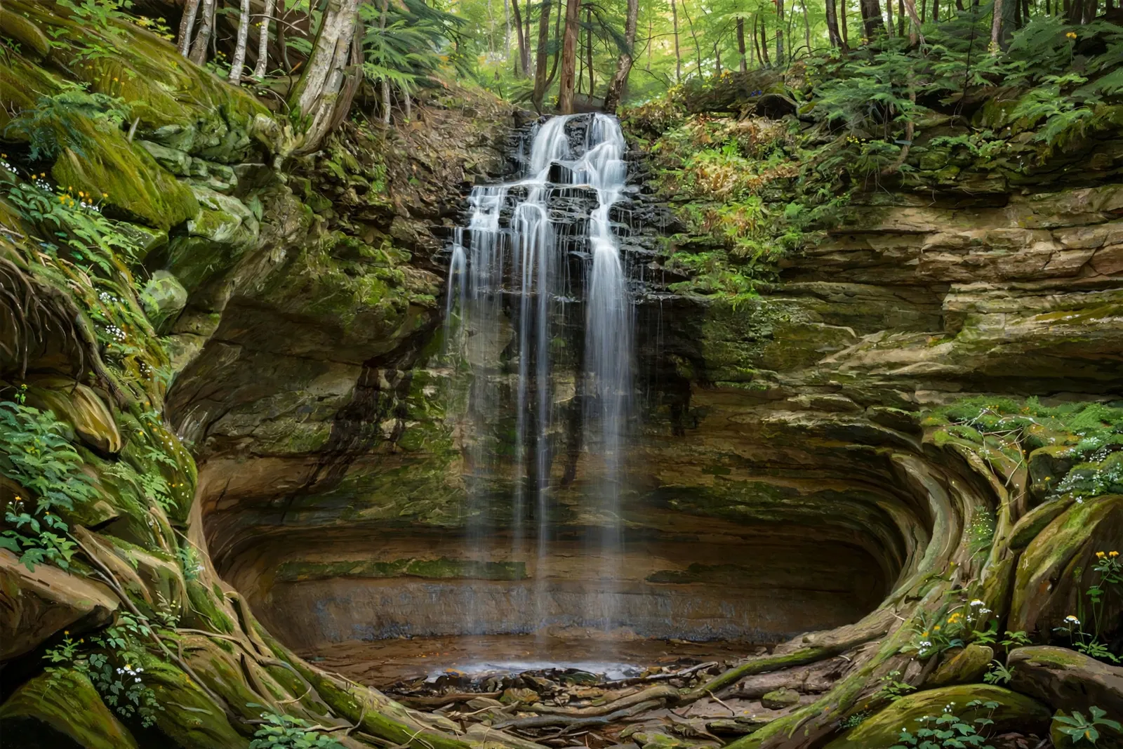
A 40-foot drop of Tannery Creek into a horseshoe-shaped sandstone canyon — a hidden-gem MNA preserve minutes from downtown Munising.
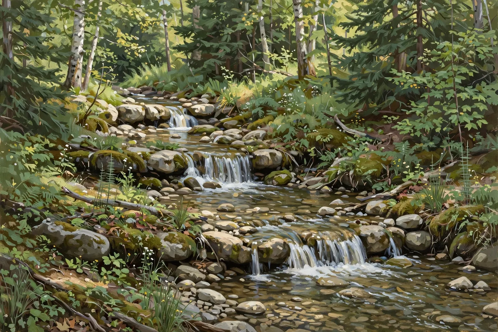
Three small drops totaling about 6 feet on a creek northwest of Trenary — an easy, peaceful walk where you can sit on the rocks by the water.
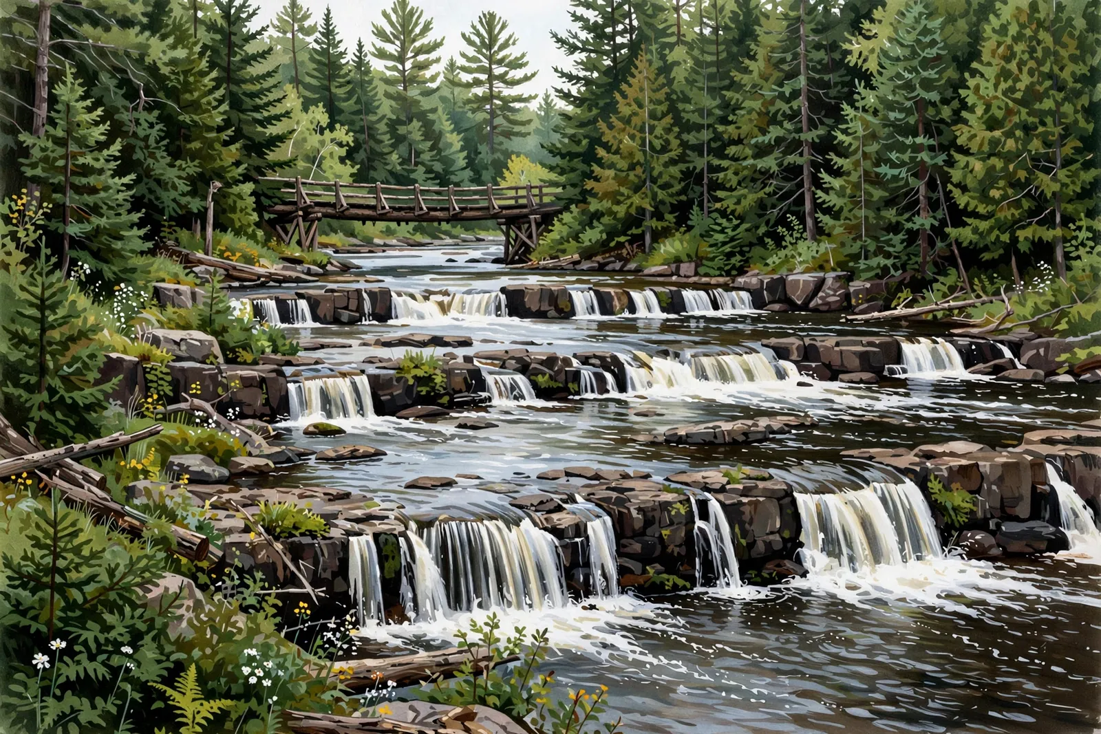
A wide series of small cascades on the Huron River just below Big Eric’s Bridge — an easy roadside stop with room to explore.
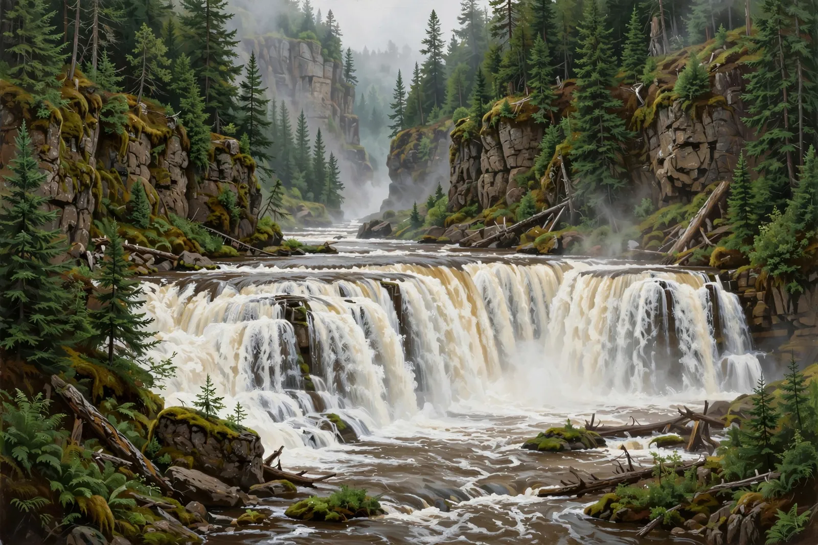
A split drop of about 10 feet on the East Branch of the Huron River near Skanee, reached by rough forest roads or a hike of about 2 miles.
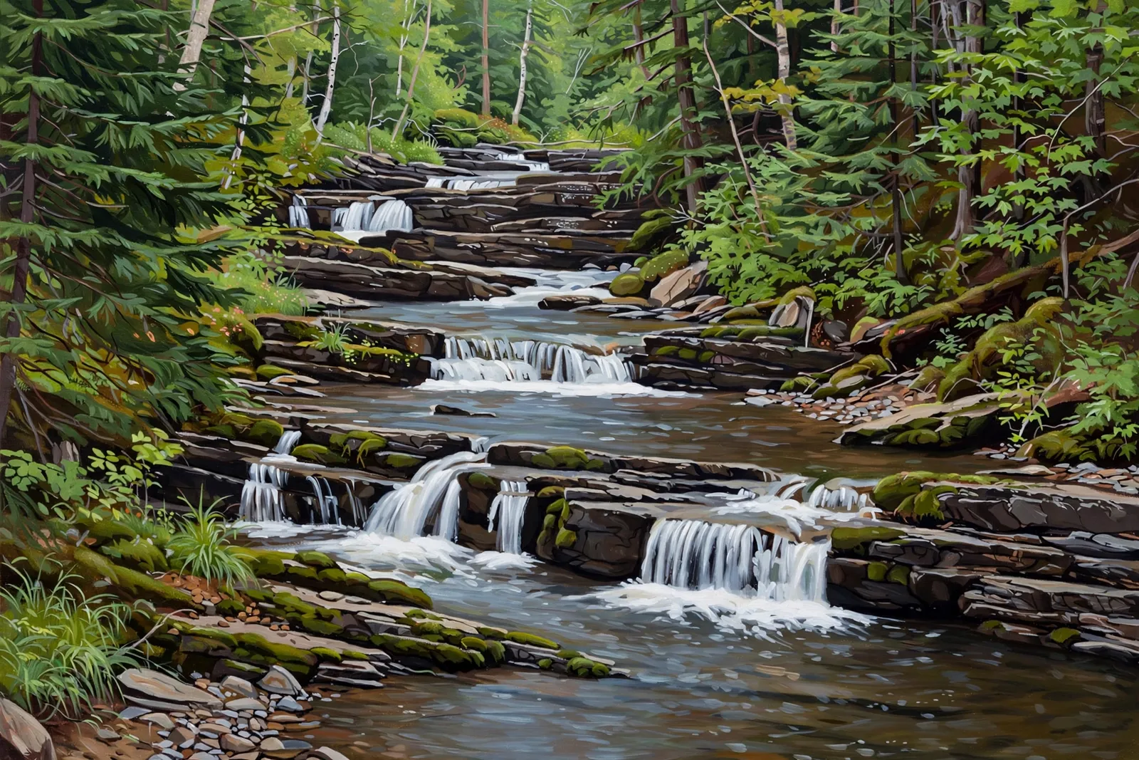
A series of short, stepping drops, about 40 feet in all, scattered along about a half mile of the Slate River near Arvon.
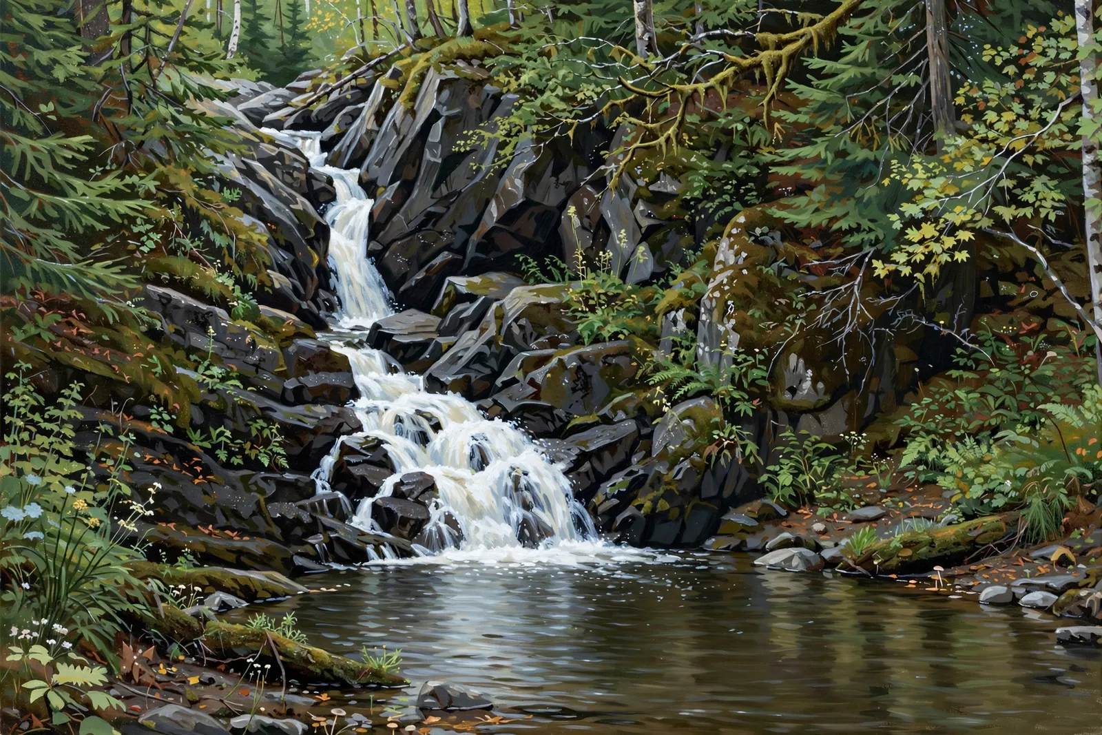
A tall, clunky 10-foot cascade on Dault’s Creek into a deep pool, a few hundred yards from Herman Road and close to a house.
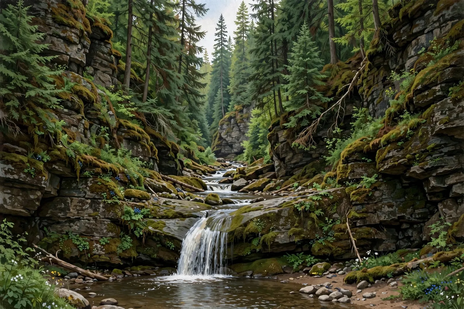
A small sliding drop of about 2 feet on the East Branch of the Huron River near Skanee, at the downstream end of a long slate gorge.
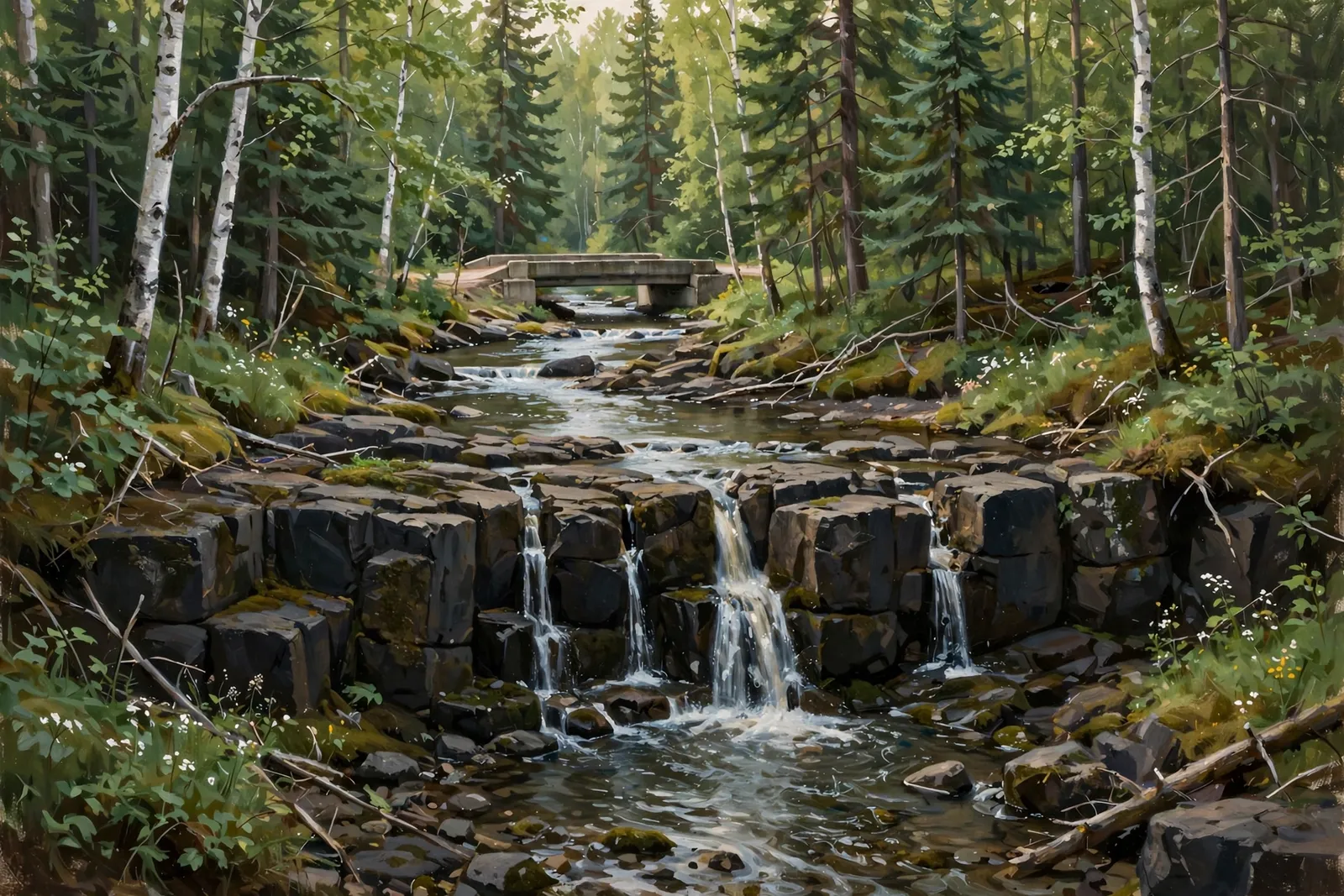
A small block drop of about 3 feet on the West Branch of the Huron River, a few dozen yards downstream of the Black Creek Road bridge.
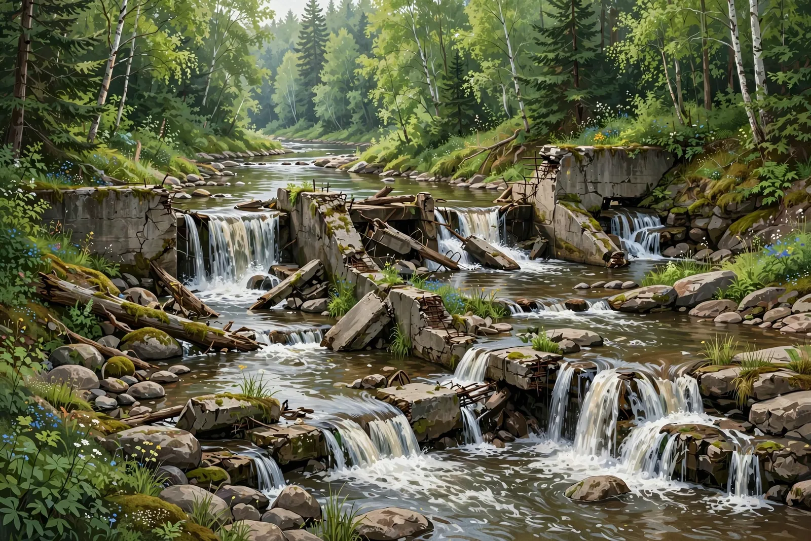
A group of cascades on the Falls River in L’Anse, reached by the 1.4-mile out-and-back Falls River Trail from downtown or the US-41 bridge.
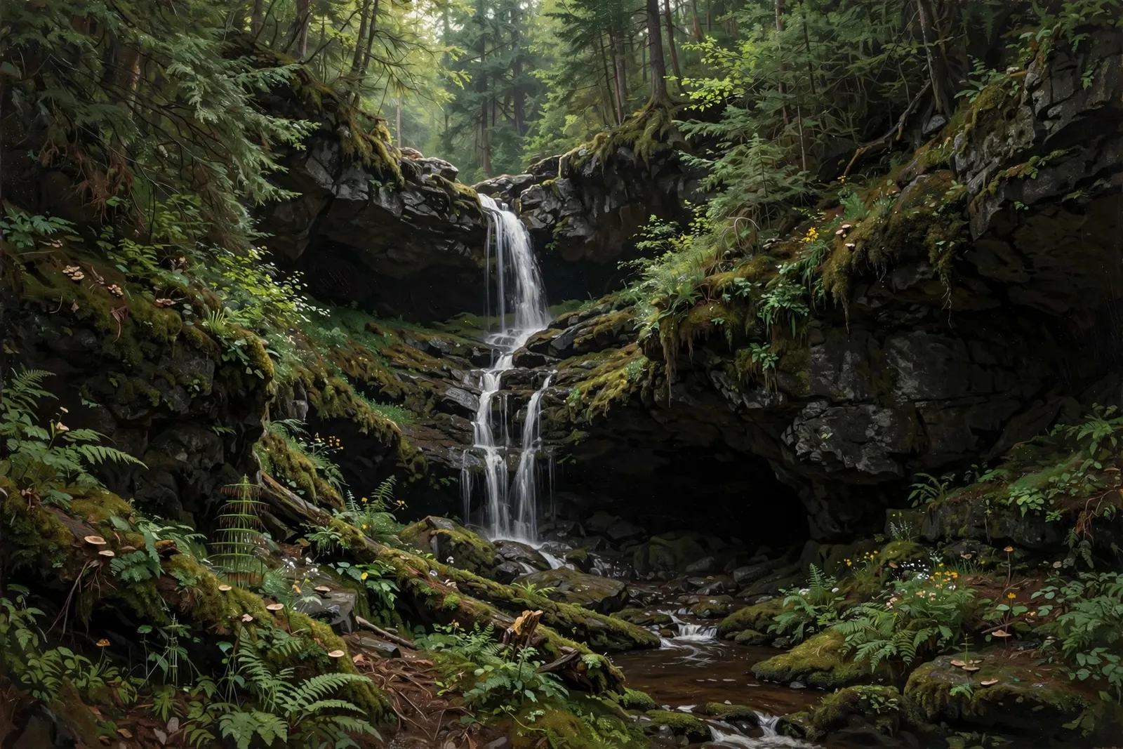
A wide, photogenic cascade on Gomanche Creek near Sidnaw — a quick roadside stop north of the old depot town.
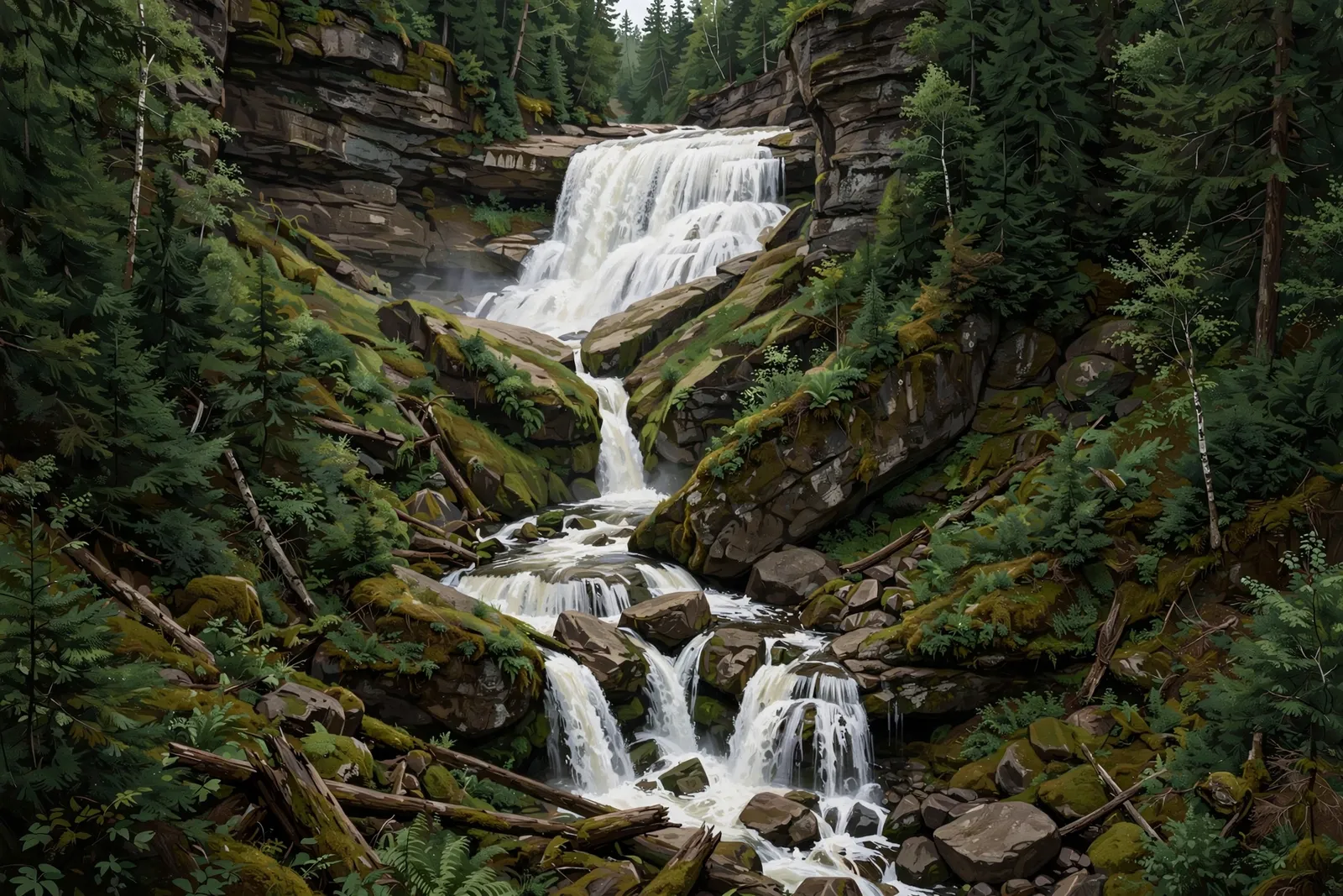
A run of about five drops, roughly 30 feet in total, on Harley Creek on the east flank of Mount Curwood near Herman, reached by a bushwhack up from the Silver River.
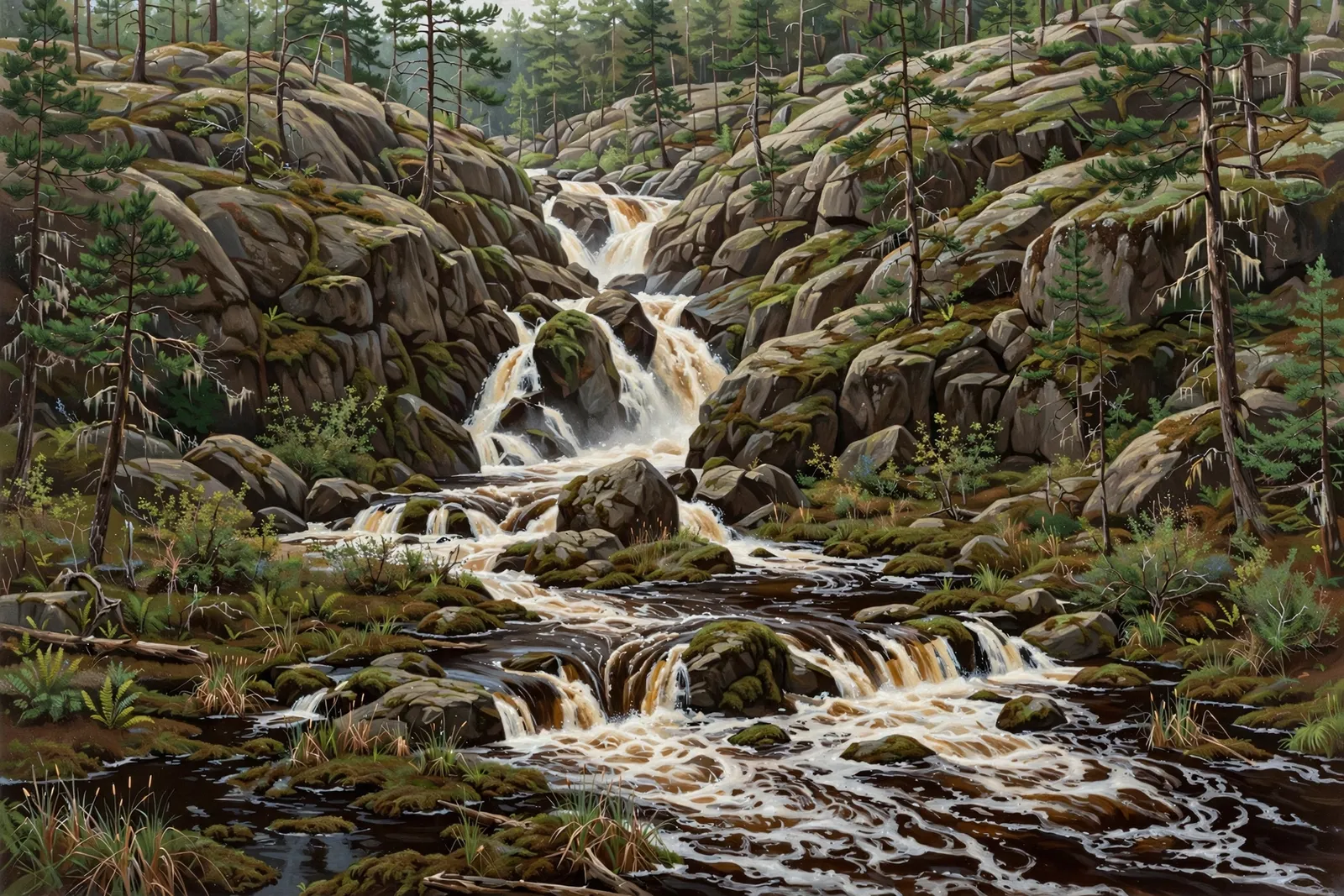
A small cascade of about 4 feet in several chutes on the Peshekee River between two swamps, reached by a short trail from the Peshekee Grade north of Michigamme.
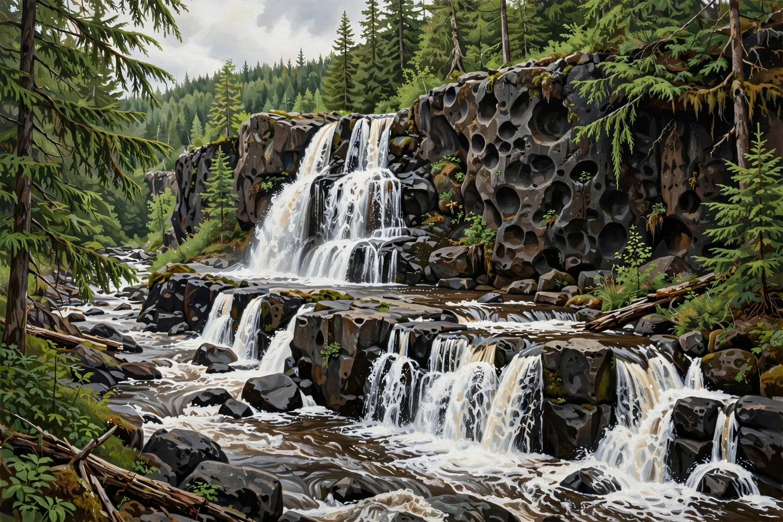
A two-tiered drop of about 12 feet in total on the West Branch of the Huron River near Mount Arvon, spelled Leatherby by Waterfalls of the Keweenaw.
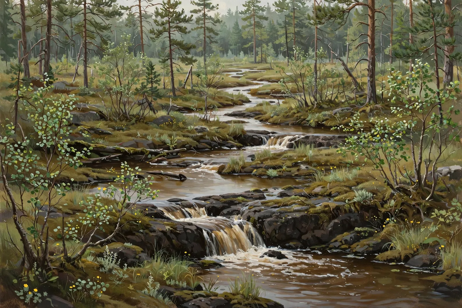
A chain of about 12 drops, about 80 feet in total, on an unnamed creek near Herman, reached by a swampy bushwhack.
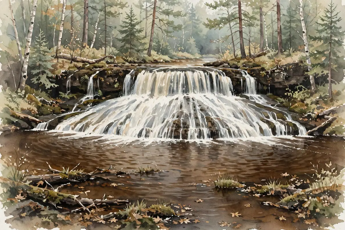
A two-drop, 20-foot falls on Ogemaw Creek over volcanic rock, a short walk from Baraga Plains Road.
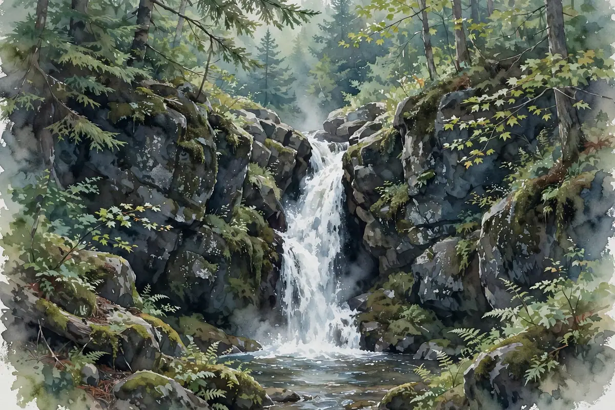
A surprisingly large waterfall far up Plumbago Creek, where the creek plunges down a deep rocky gorge in several drops — a rewarding trek for adventurous hikers.
A small drop of about 2 feet on the Falls River just upstream of Power House Falls, split in two by a rock in the middle of the river.
A cascade over layered slate beside the old 1908 powerhouse on the Falls River in L’Anse, viewed from a small town park at the end of Power Dam Road.
A 5-foot crescent drop onto a flat slate slide into a deep pool on the Slate River, a short walk from the Arvon Road logging bridge.
A set of about six small drops, about 5 feet in all and none over a foot, on the Ravine River near Roland Lake.
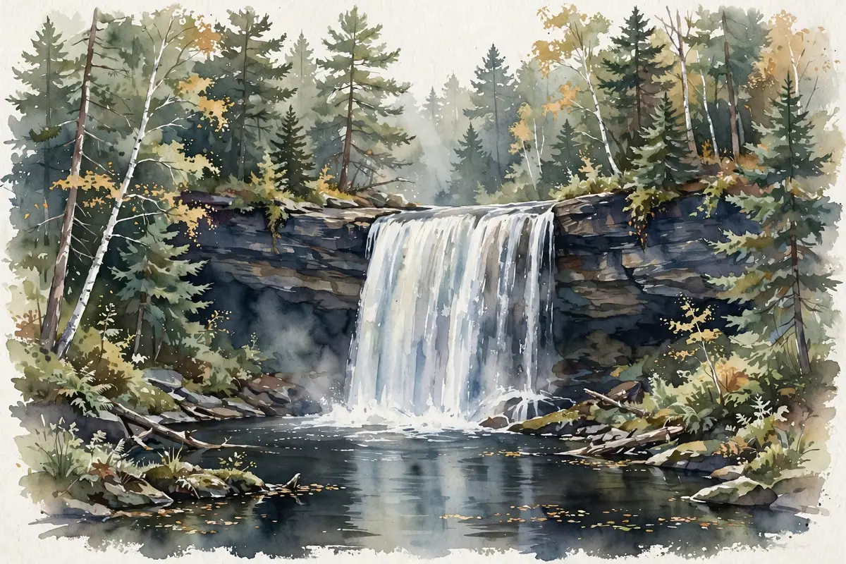
A wild 25-foot plunge down a tilted face of jagged slate into a deep pool — the largest drop on a rugged three-mile stretch of the Slate River.
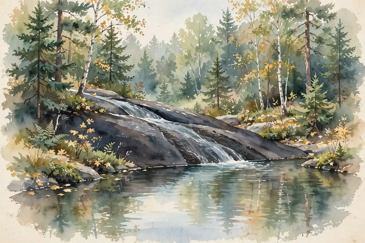
A natural water slide of about 10 feet over flat slate in the Slate River gorge, reached by walking upstream past Slate River Falls and Ecstasy Falls.
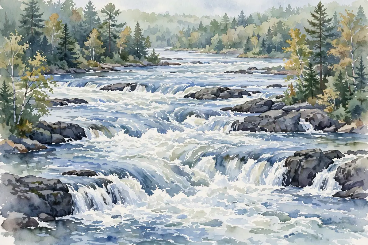
A wide series of low slate drops on the Sturgeon River south of Baraga Plains — about 20 feet in all, tallest drop about 2 feet.
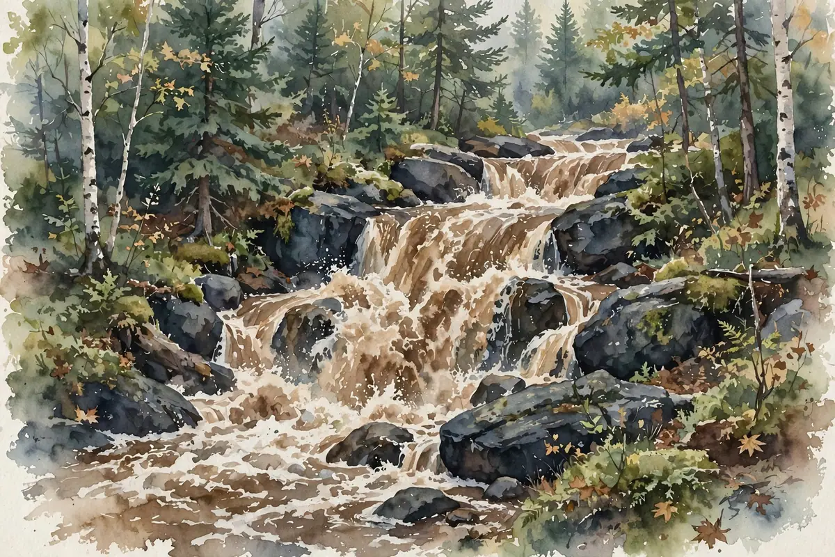
A small two-part cascade on the Tioga River at a rest area on US-41 — a perfect leg-stretcher between Nestoria and L’Anse.
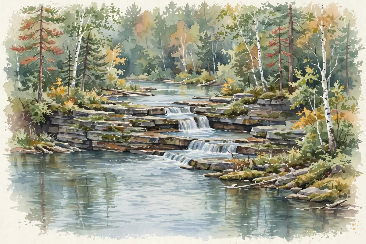
A split drop of about 8 feet where the Sturgeon River leaves its slate canyon below Canyon Falls, reached on the rock trail along the canyon edge.
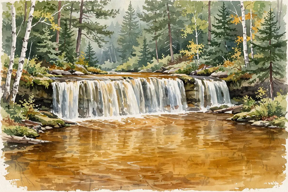
A small ledge drop of about 2 feet on the Falls River in L’Anse, just south of US-41, with an old railroad trestle above the pool.
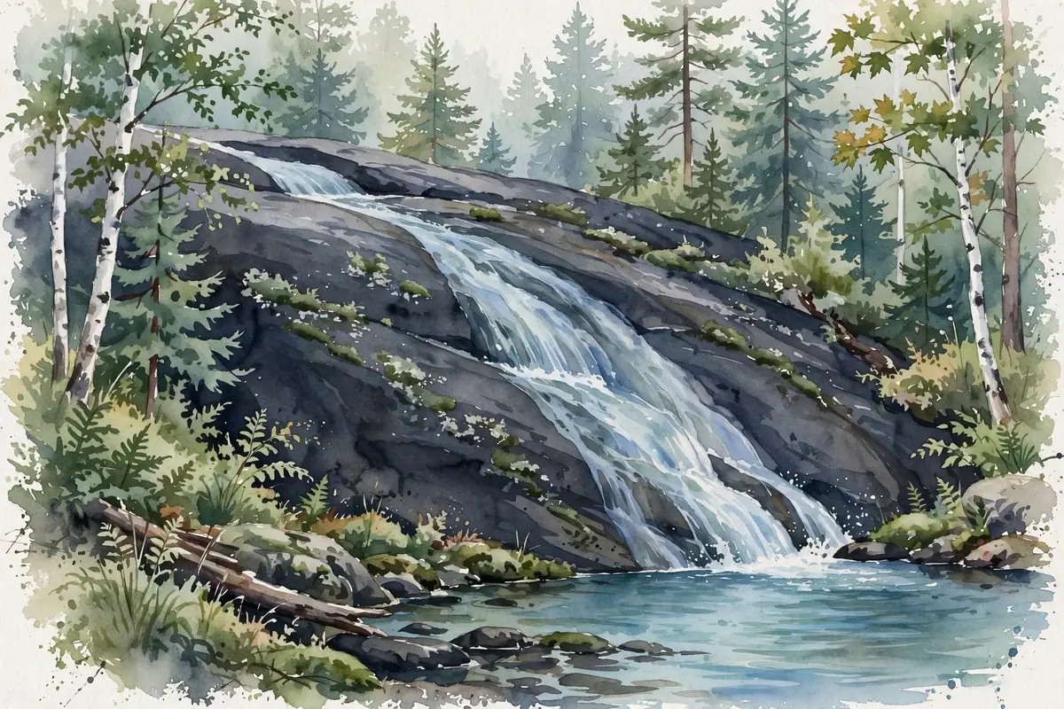
A wide, bumpy slide of about 10 feet into a deep pool, a short walk upstream from Letherby Falls on the West Branch of the Huron River.
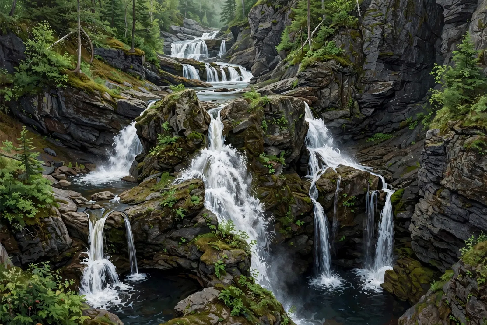
A wild chain of drops, about 30 feet in total, in a deep slate gorge on the West Branch of the Huron River near Skanee.
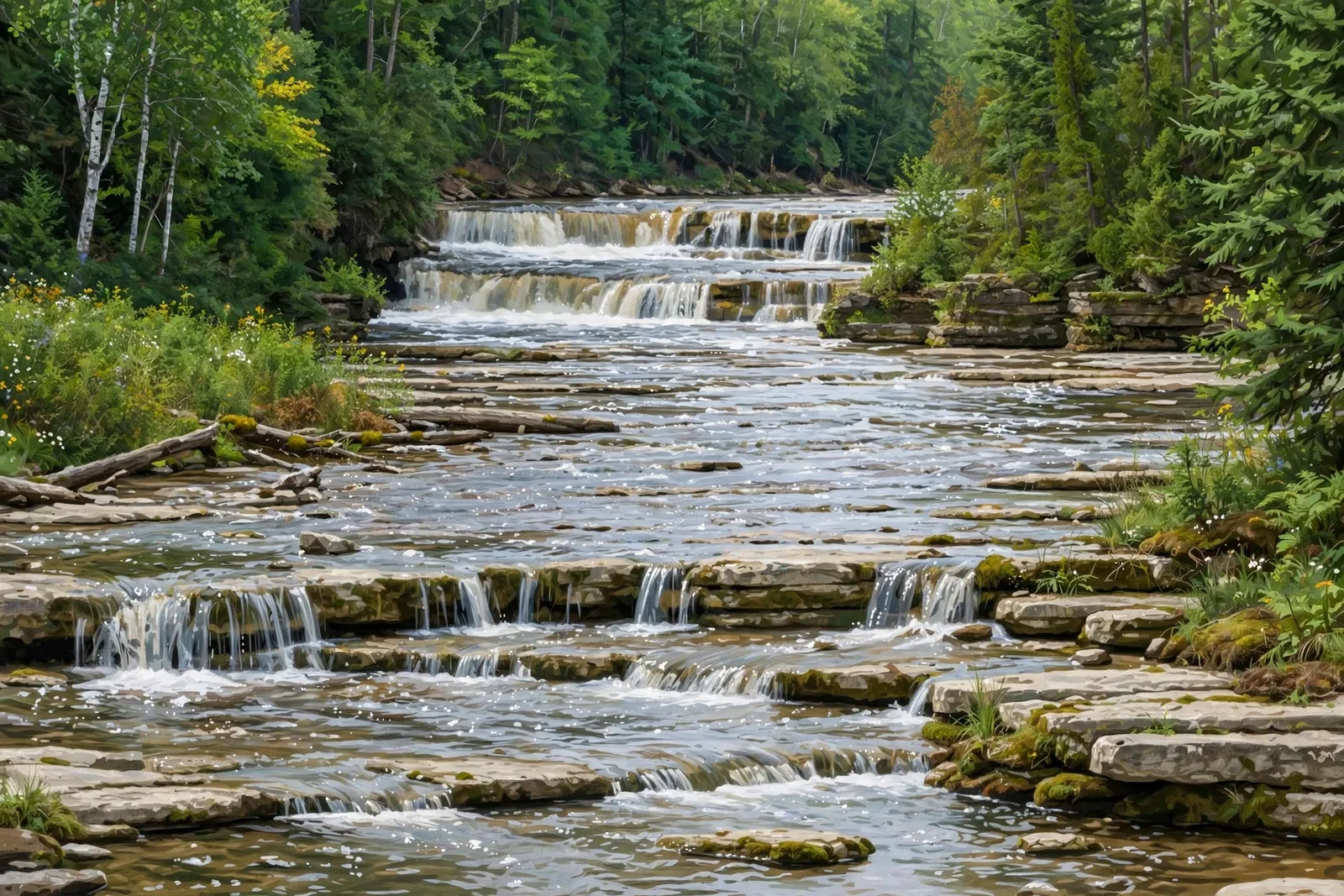
Several low, wide drops over limestone shelves on the Rapid River in an 80-acre Delta County park just off US-41, with parking, restrooms and a playground by the falls.
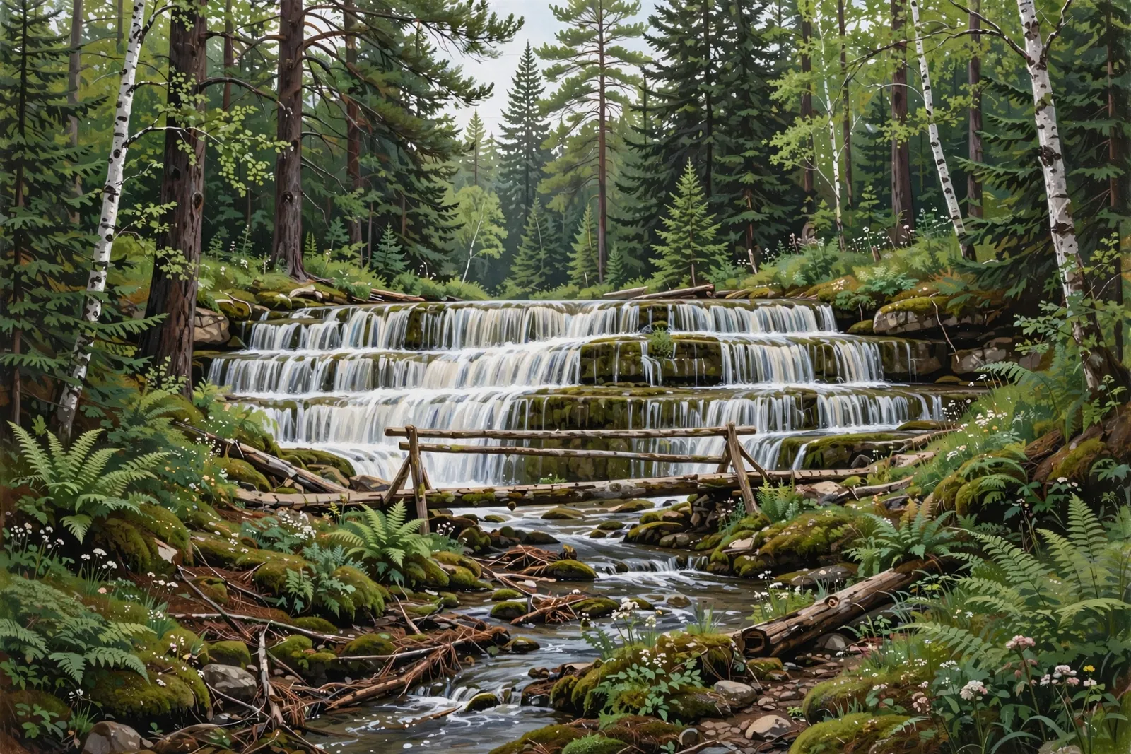
A quiet 2-to-3-foot staircase of water on Haymeadow Creek in the Hiawatha National Forest — reached by a half-mile woodland trail from a free, first-come campground.
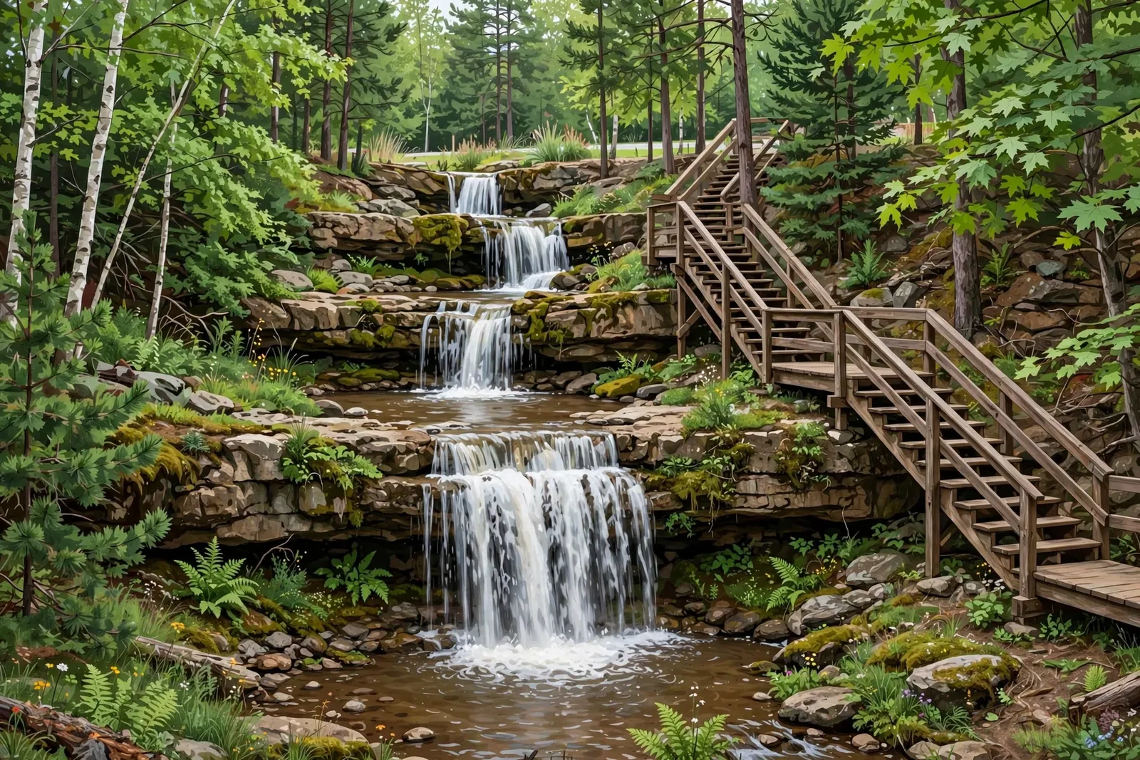
A tiered, 25-foot roadside waterfall on Fumee Creek with stairs and a boardwalk to the top — an easy stretch-your-legs stop on US-2 east of Iron Mountain.

A churning stretch of whitewater on the Menominee River just east of Kingsford, near the Big Quinnesec Dam.

The name of a Menominee River hydroelectric project at Niagara, Wisconsin, beside Quinnesec, Michigan — there is no documented public viewpoint or trail.
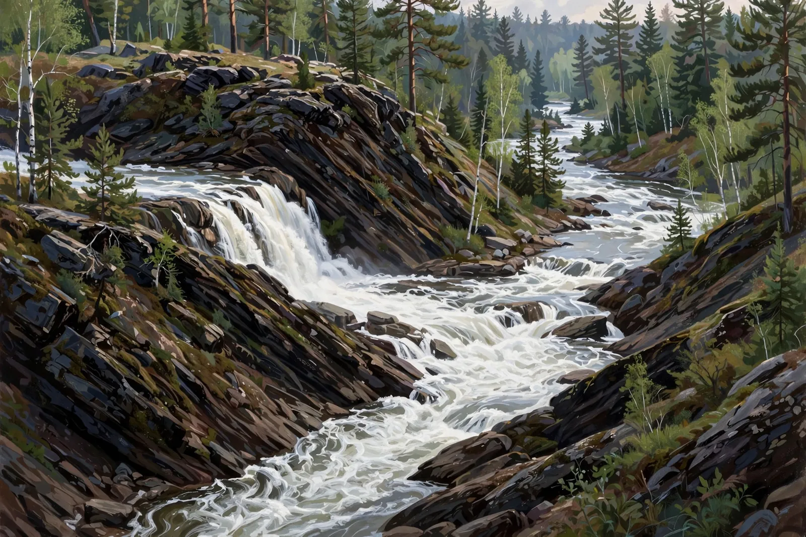
The biggest drop in Piers Gorge — the Menominee River pours over an 8-foot ledge into a long run of whitewater, with a high overlook and close-up river access.
Four sets of rapids and low falls where the Menominee River tumbles over natural rock “piers” in a scenic gorge — including 8-foot Misicot Falls.
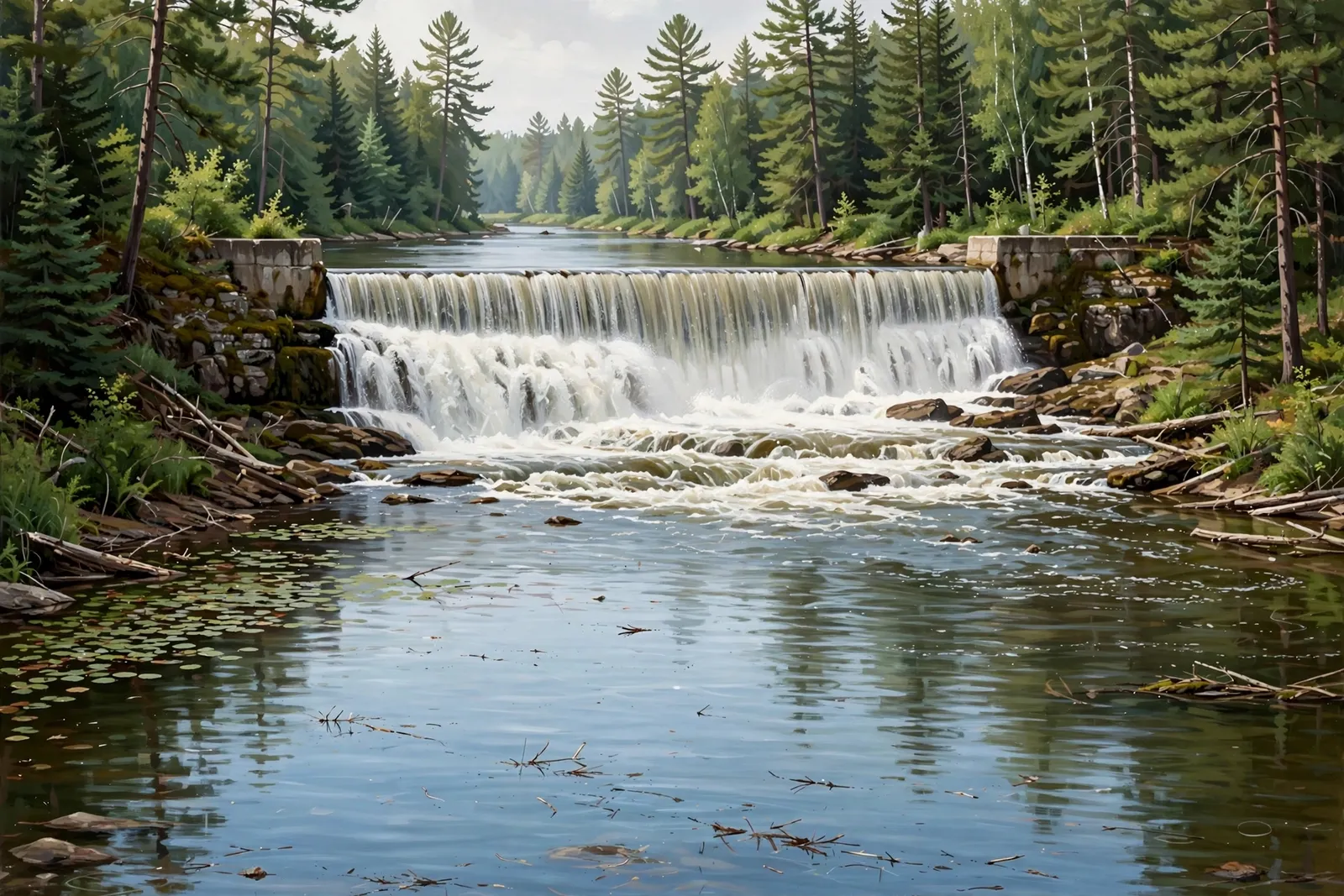
A stretch of small cascades and rapids on the Sturgeon River near Waucedah, about 10 feet in total by a lidar estimate, with no documented public access.
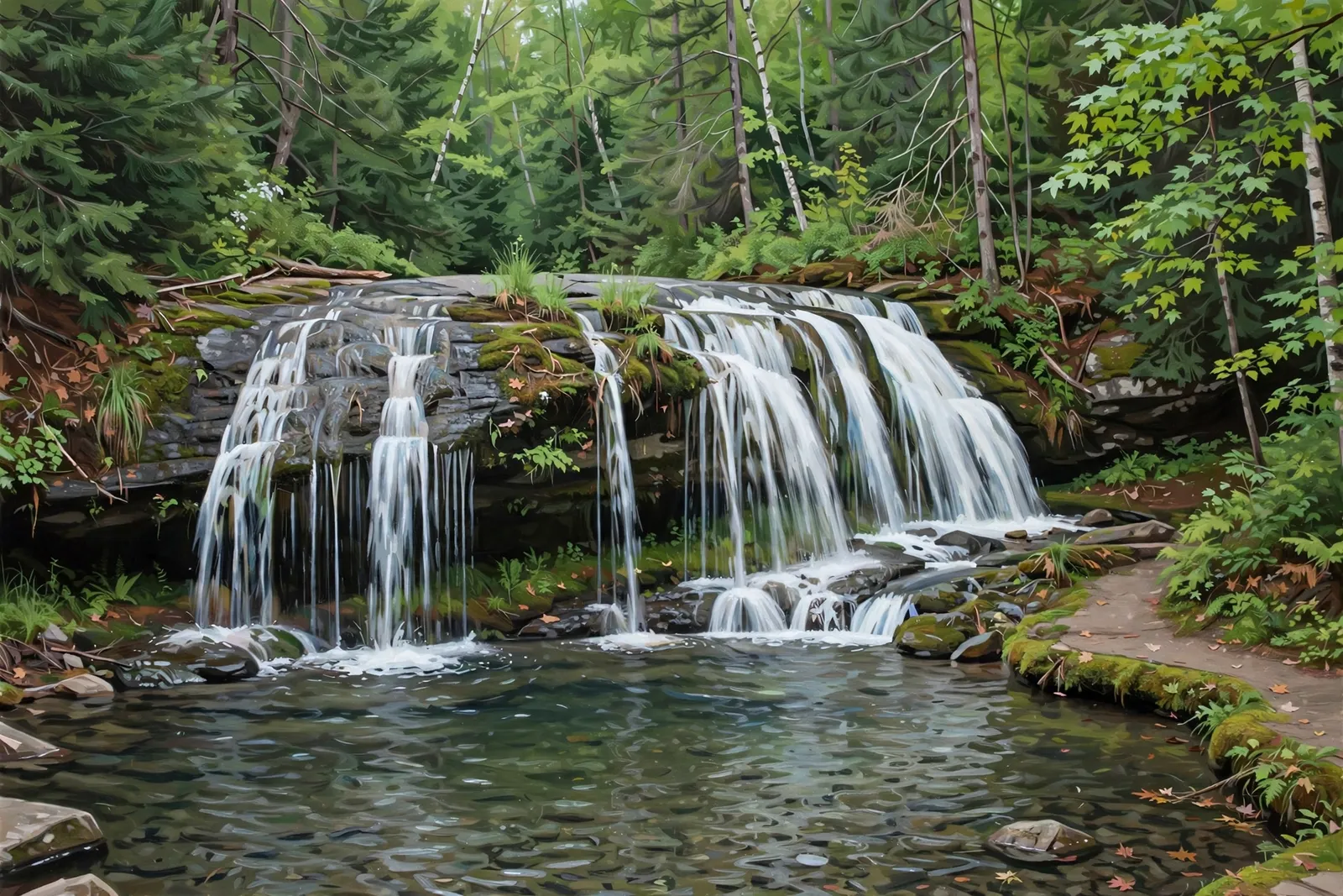
A 10-foot drop on Pine Creek off Rock Dam Road near Iron Mountain — a short, easy, flat walk to the river’s edge.

The fourth and farthest pier in Piers Gorge — the Menominee River splits around two huge rock chunks forming twin islands, a full mile past Misicot Falls.
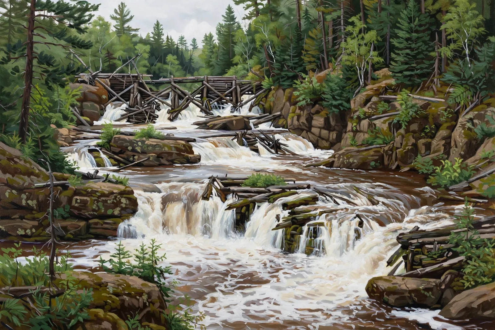
A rapids-style drop on the Menominee River at the Quiver Falls Unit of Menominee River State Recreation Area; the overlook is on the Wisconsin side of the state line.
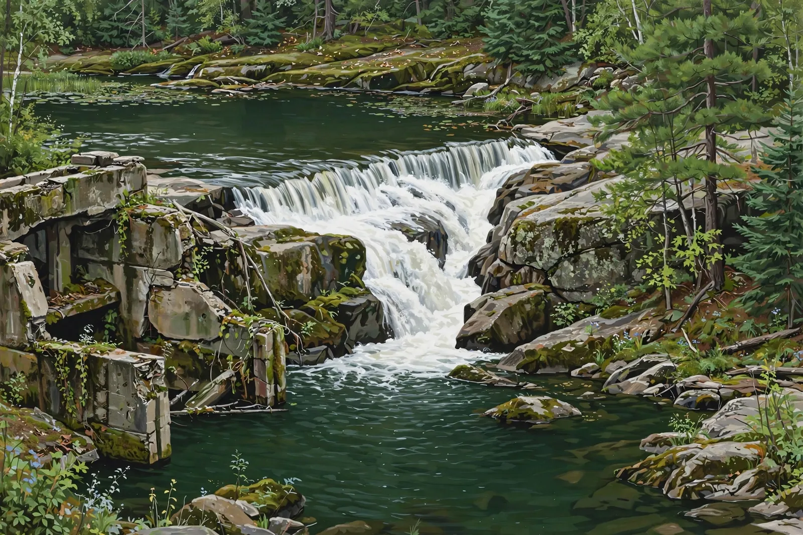
A serene, little-visited drop on the Menominee River — less than 10 feet of descent spread over a 100-foot granite constriction, with old dam ruins on the Michigan bank.
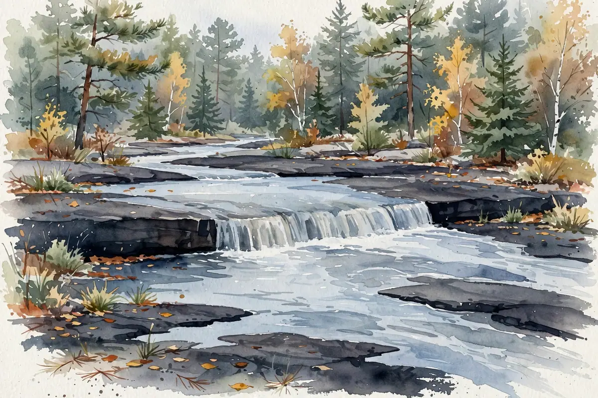
A small cascade in the Ottawa National Forest east of the Presque Isle River — listed by the USGS, with no developed trail or published access route.
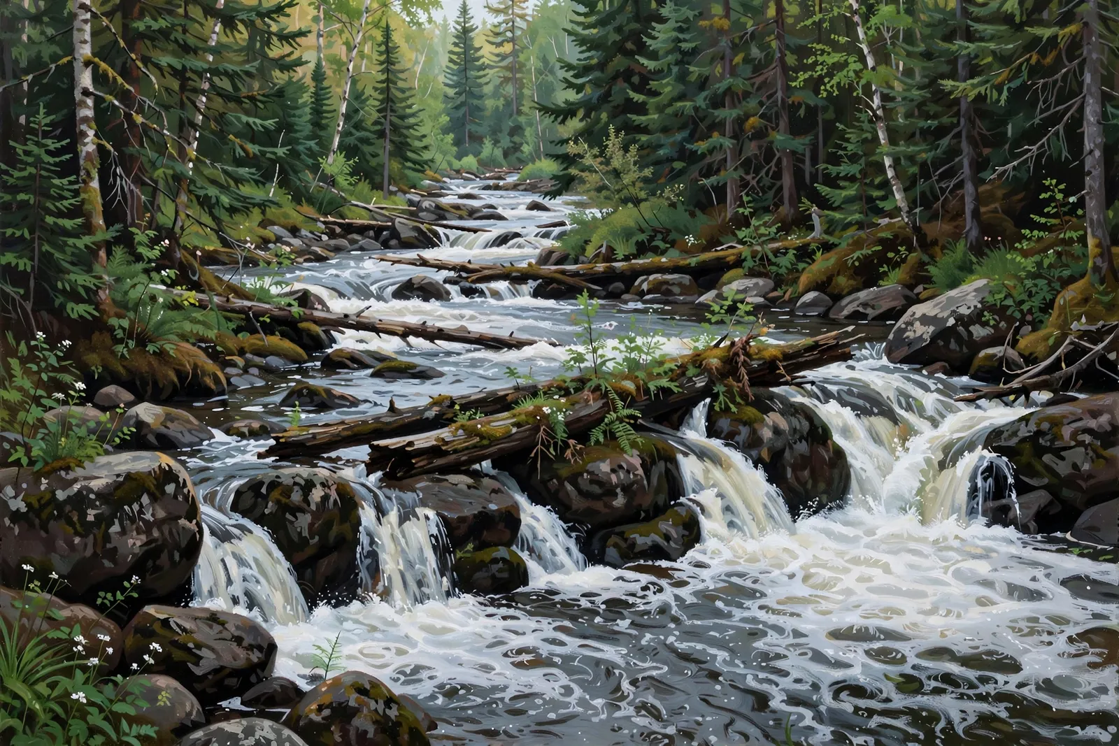
One of the three smallest named falls on the Black River — technically a set of rapids and cascades with limited access, upstream of the famous gorge falls.
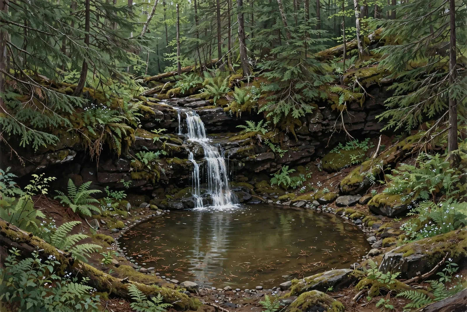
A small sliding cascade of about 8 feet on the lower Big Carp River in Porcupine Mountains Wilderness State Park, reached only by a long backcountry hike.
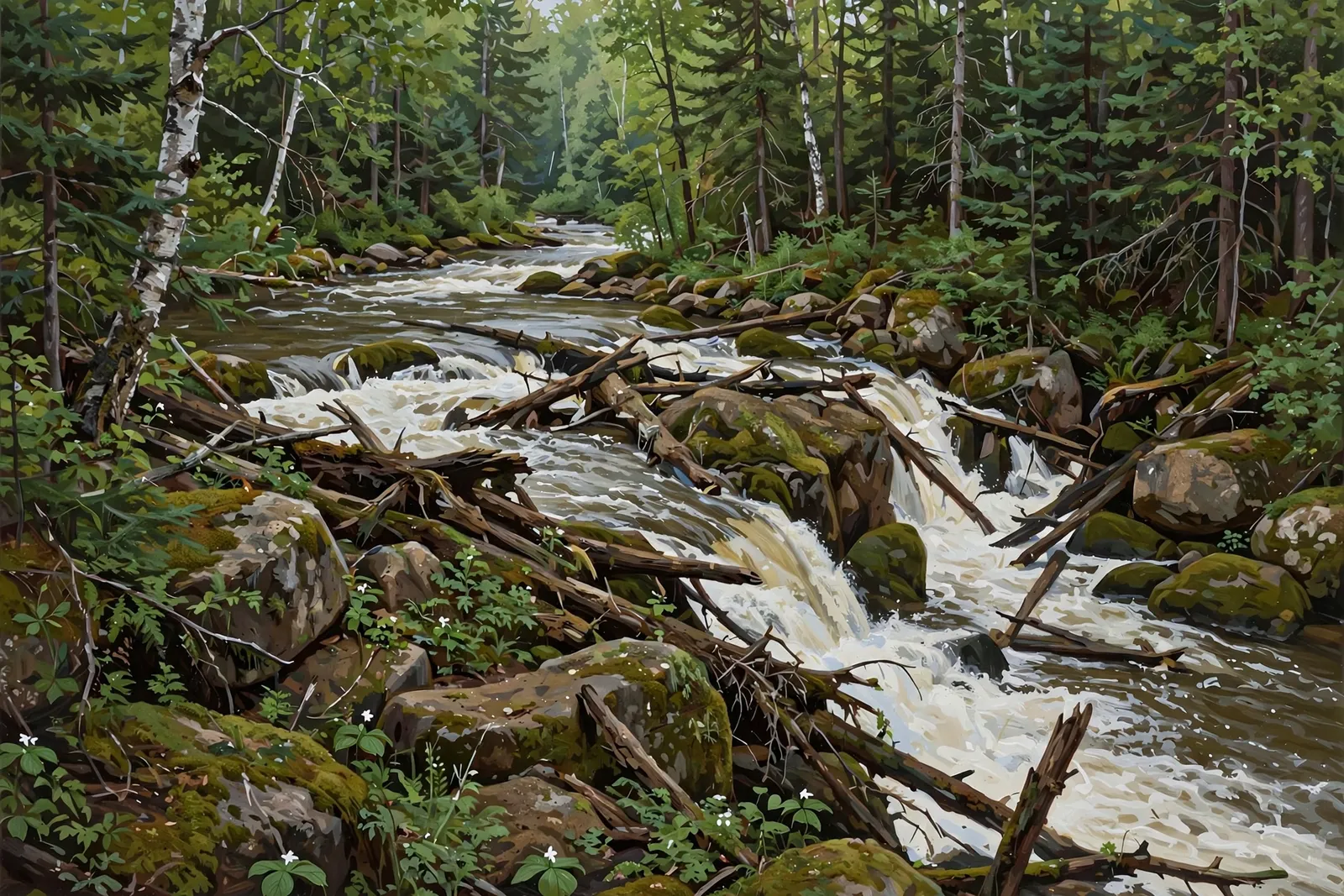
A short set of rapids, about 2 feet high and 15 feet wide, on the Black River below Copper Peak, reached by a short informal path along power lines.

A waterfall on the Little Carp River in Porcupine Mountains Wilderness State Park, just past Trappers Falls on the Little Carp River Trail.

A small 6-foot cascade on the Presque Isle River near Wakefield — part of the river’s waterfall series — reached by a 2.4-mile moderate trail.

A two-drop cascade of about 10 feet on the Slate River near Marenisco, reached by logging two-tracks and an overgrown trail.

A series of S-shaped cascades totaling about 20 feet on the Cisco Branch of the Ontonagon River — a short, easy trail through peaceful Ottawa National Forest.

A small 20-foot cascade on the Presque Isle River near the western edge of the Porkies — a 0.6-mile easy out-and-back through old-growth hemlock.
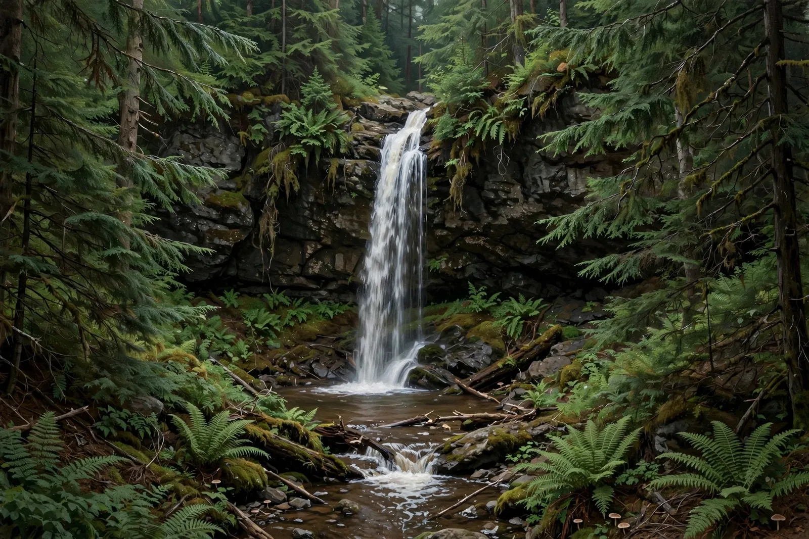
A 25-foot cascade tucked deep in the woods along Maple Creek, just 150 feet upstream of Maple Creek Falls — a quiet detour off the Black River corridor.

A small three-drop cascade of about 10 feet on Marshall Creek near Marenisco, reached by a forest two-track blocked by berms.
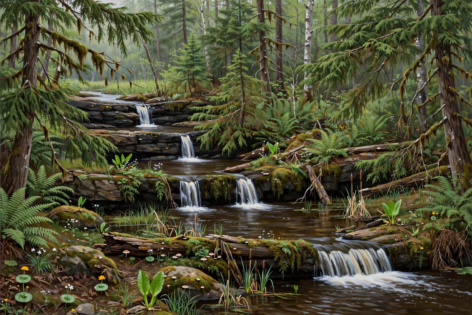
A modest, multi-drop cascade on the Middle Branch of the Ontonagon River in the Ottawa National Forest — also known as Burned Dam Falls — near Watersmeet.
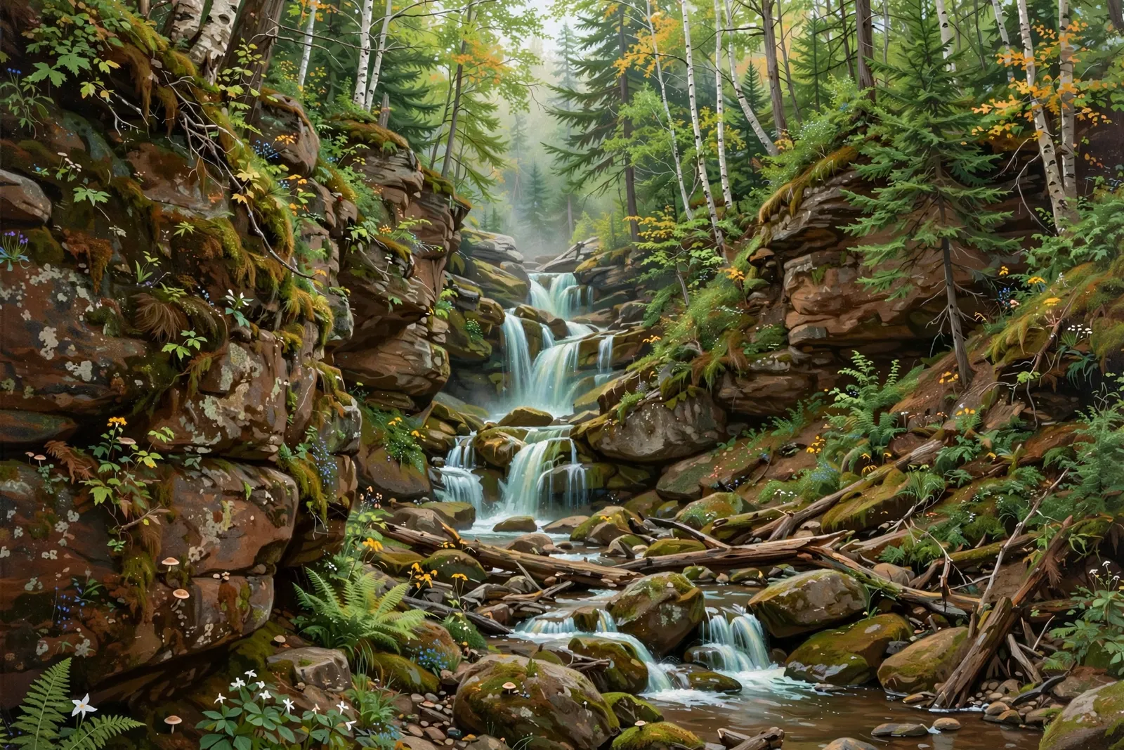
An 8-foot waterfall in a canyon on Nelson Creek west of Lake Gogebic, reached by about a mile of two-track and a fading trail.
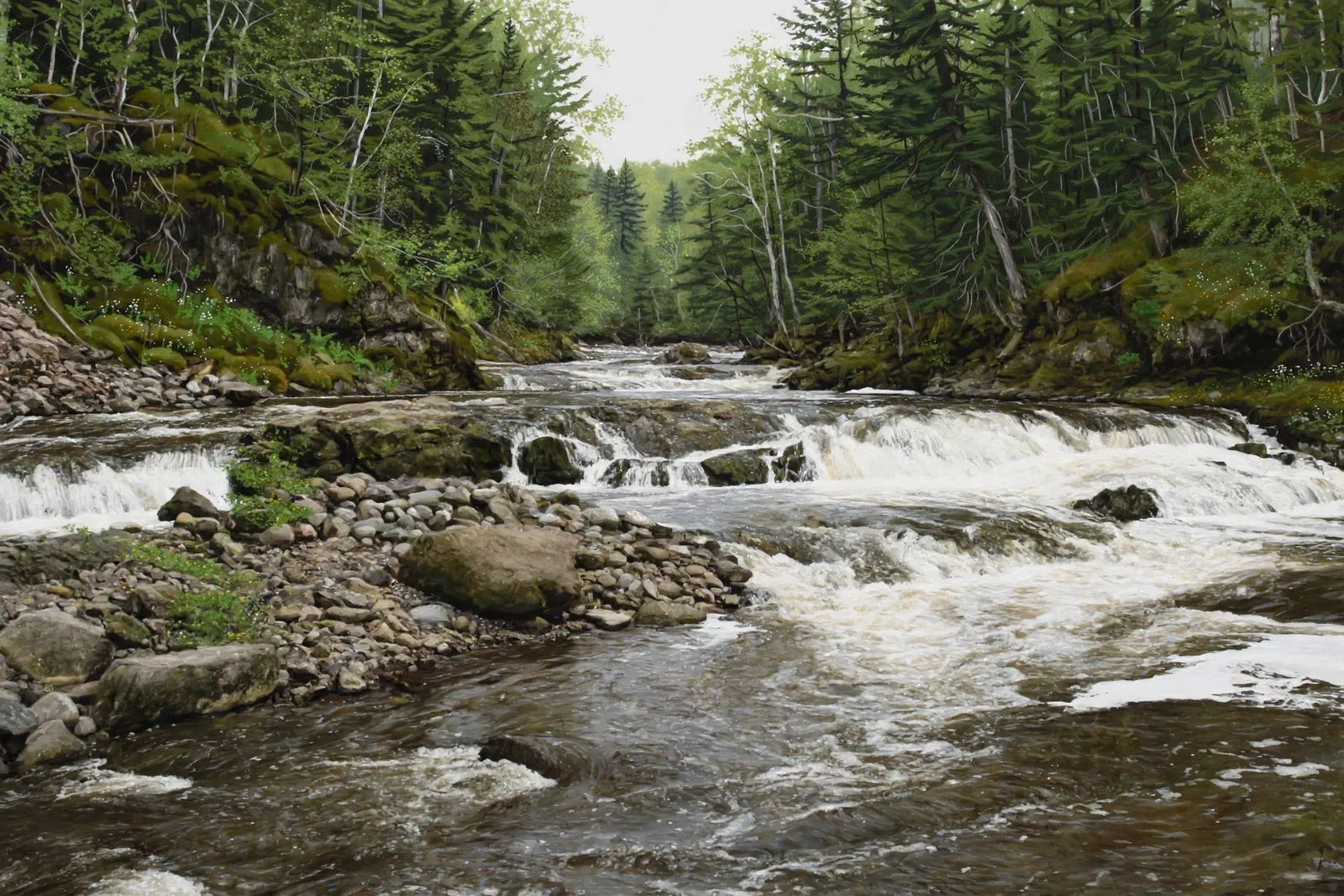
A ledge rapid of about 5 feet on the Presque Isle River in the Ottawa National Forest, with no maintained trail; it is mostly visited by expert whitewater paddlers.

A quiet 10-foot cascade on Copper Creek in the Ottawa National Forest — remote, unmarked forest-road country for solitude seekers.
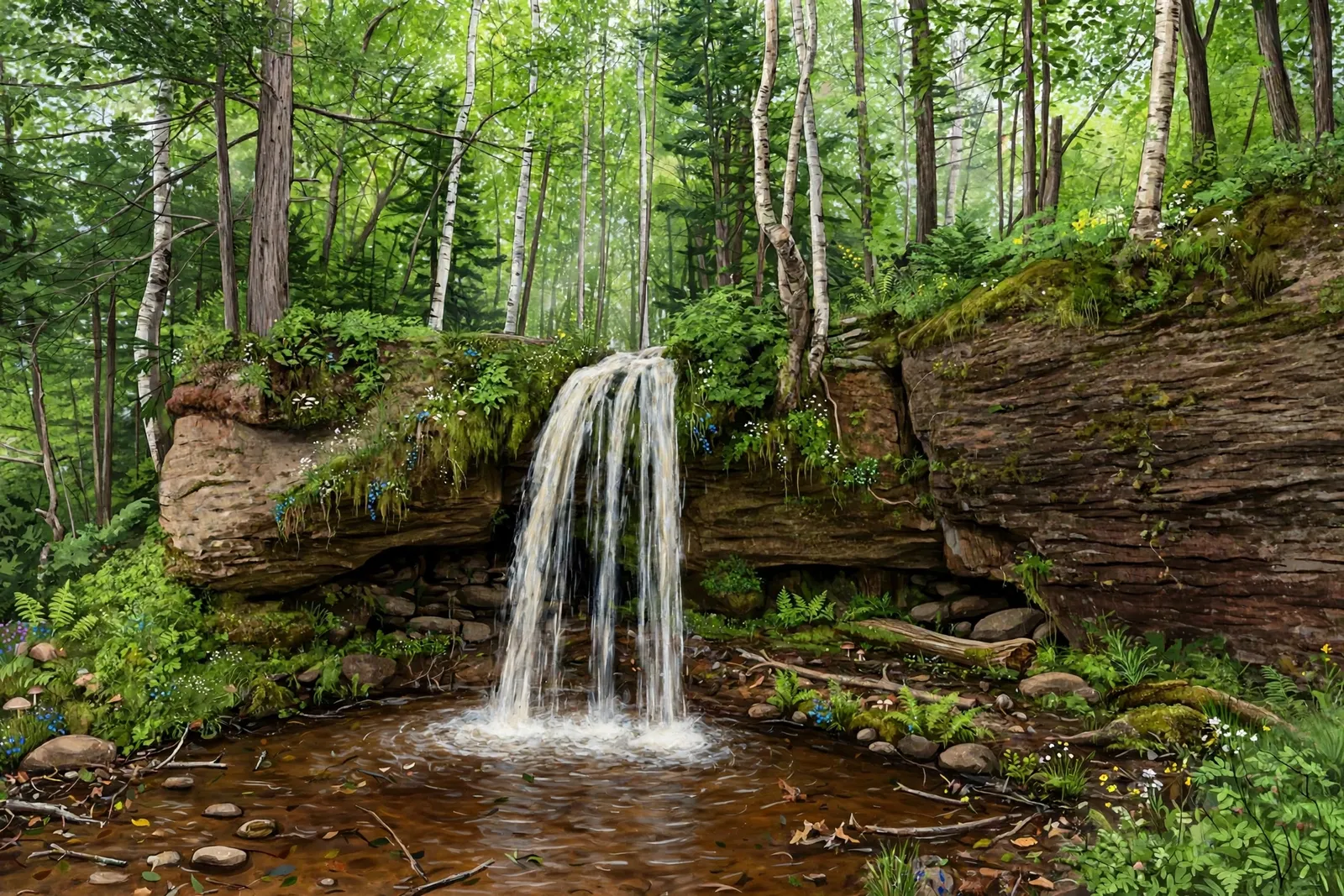
A 15-foot cascade on Copper Creek, a short distance upstream from Ogima Falls — remote, quiet, and reached by the same unmarked forest-road approach.

A small, secluded cascade deep in the Porcupine Mountains wilderness, near the Little Carp River corridor — a true backcountry find.
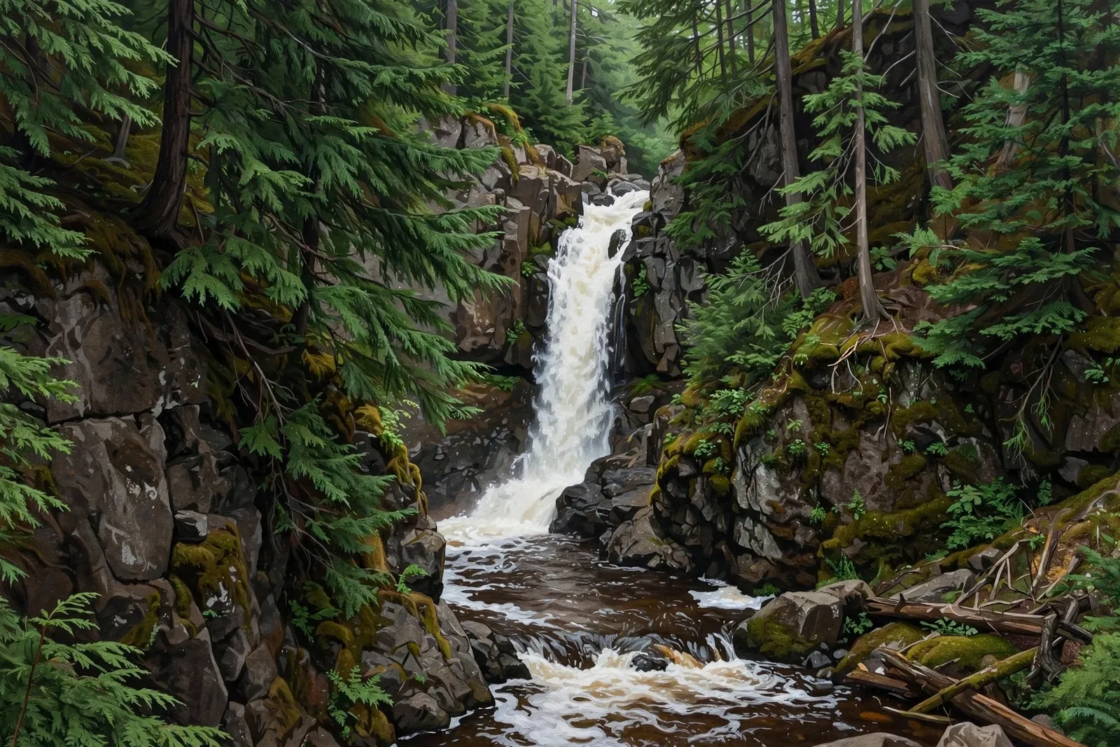
A two-tiered 15-foot waterfall on Powder Mill Creek just north of Bessemer, reached by a short trail from Powderhorn Road.
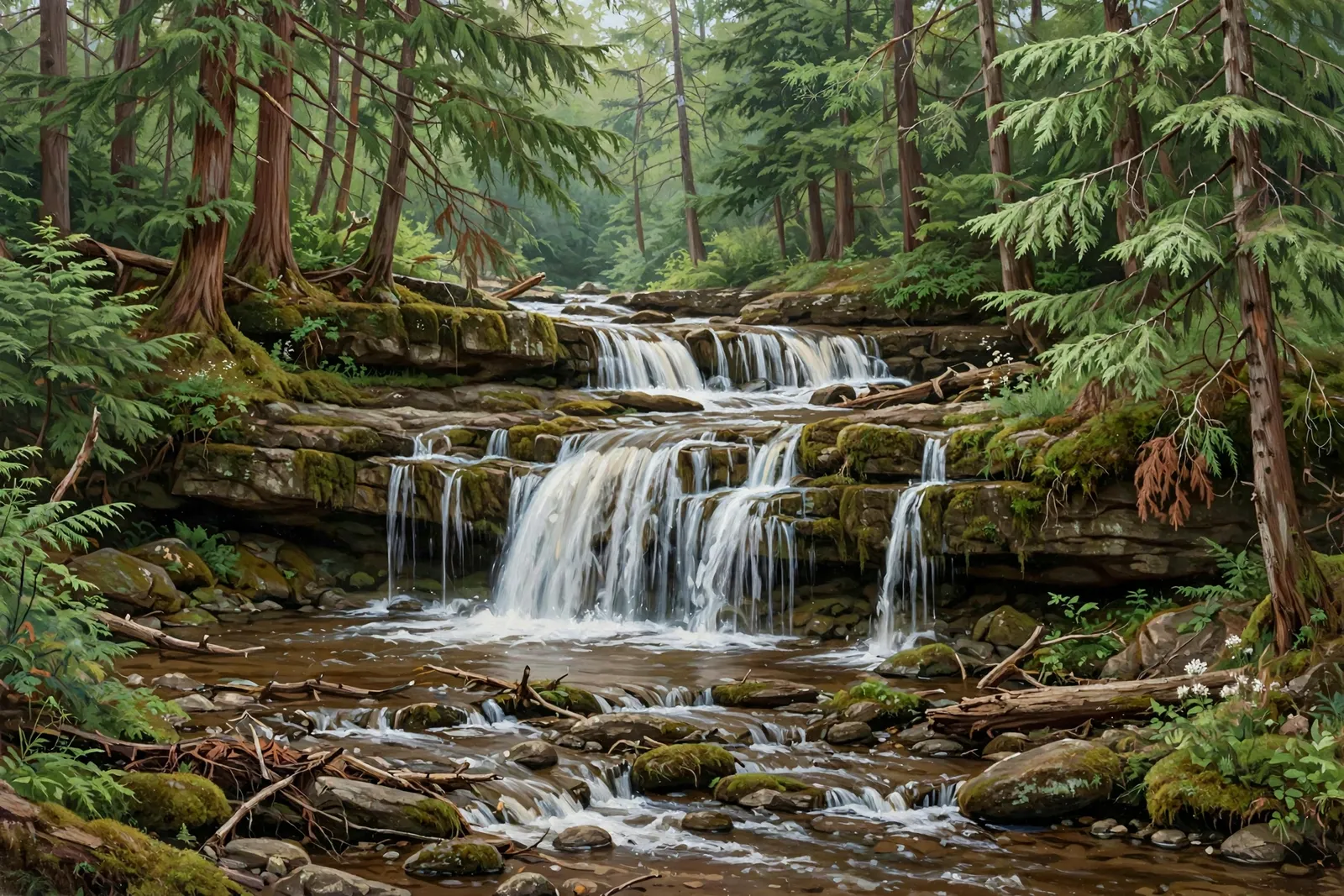
A 12-foot cascade on Siemens Creek near Watersmeet — a short, flat walk through a cedar grove to an easy, family-friendly falls.

A 90-foot series of drops on the Montreal River, plunging into a deep gorge below a hydroelectric dam — viewed safely from the Wisconsin side.
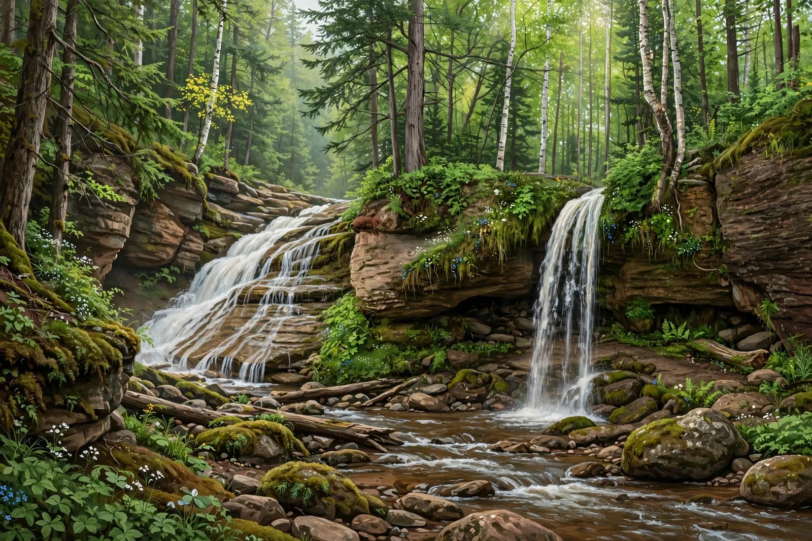
A 17-foot cascade on the Big Carp River deep in the Porcupine Mountains — a serious 10-plus-mile backcountry trek through old-growth forest.
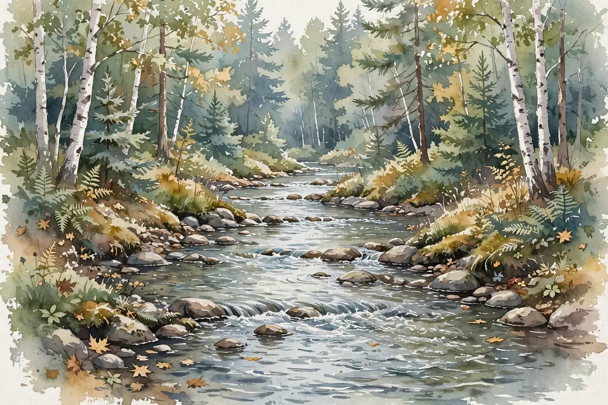
A small, secluded falls on Pinkerton Creek in the Porcupine Mountains — about 2 miles in on the Pinkerton Creek Trail from South Boundary Road.
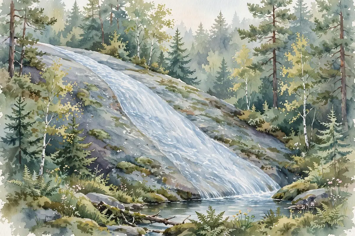
A backcountry falls on the Little Carp River, about 3 miles in from the trailhead — a rugged 6-mile round trip past Overlooked and Greenstone Falls.

A 7-foot upper cascade on Siemens Creek, a short walk upstream from Rocky Forty Falls — visit both in one easy stop near Watersmeet.
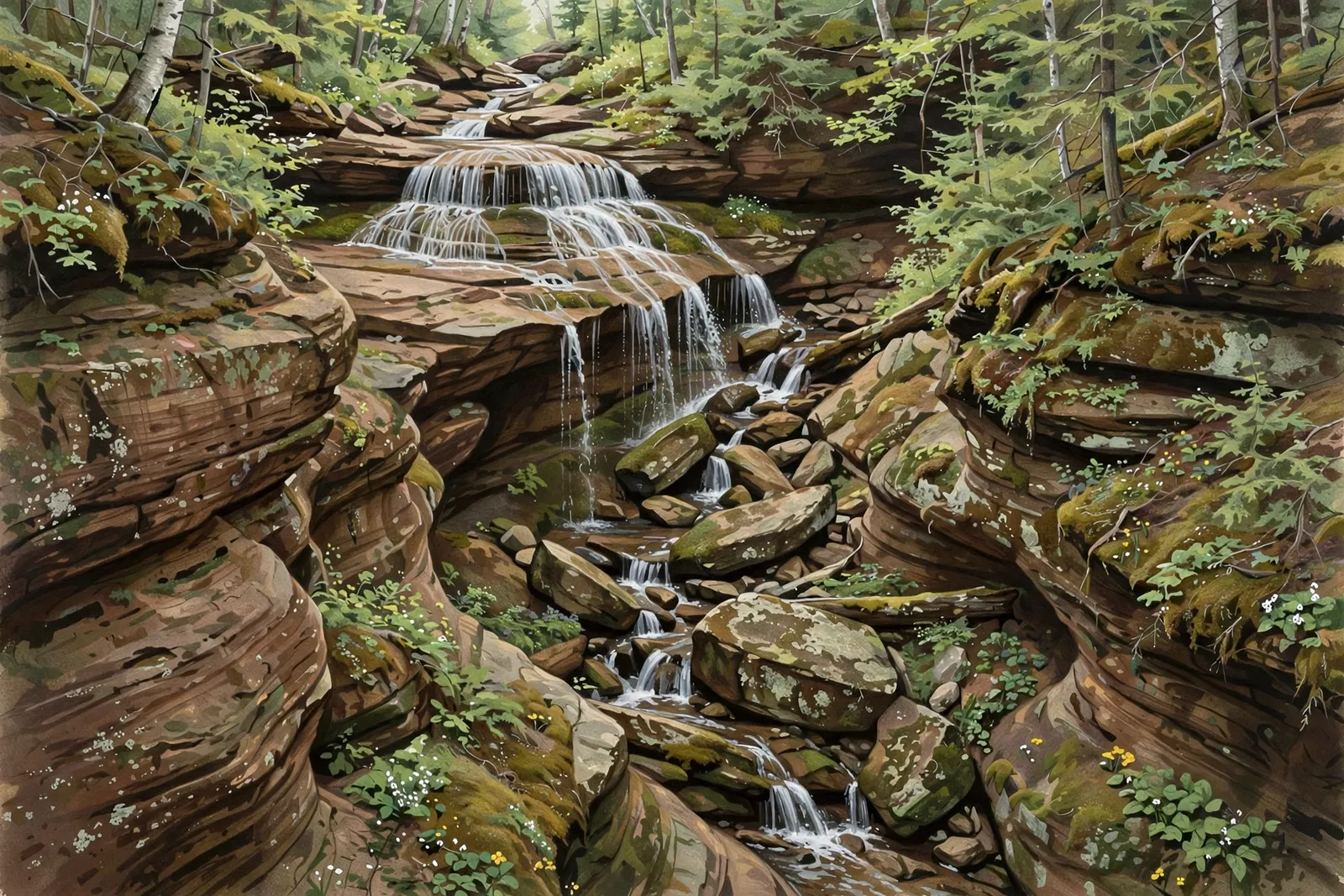
A series of sandstone drops in a deep gorge above Dollar Bay, with the tallest drop about 10 feet. The land is private; do not visit without permission.

A wide, stepping cascade of about 3 feet on the West Branch of the Sturgeon River in the Ottawa National Forest near Nisula, with no marked path.
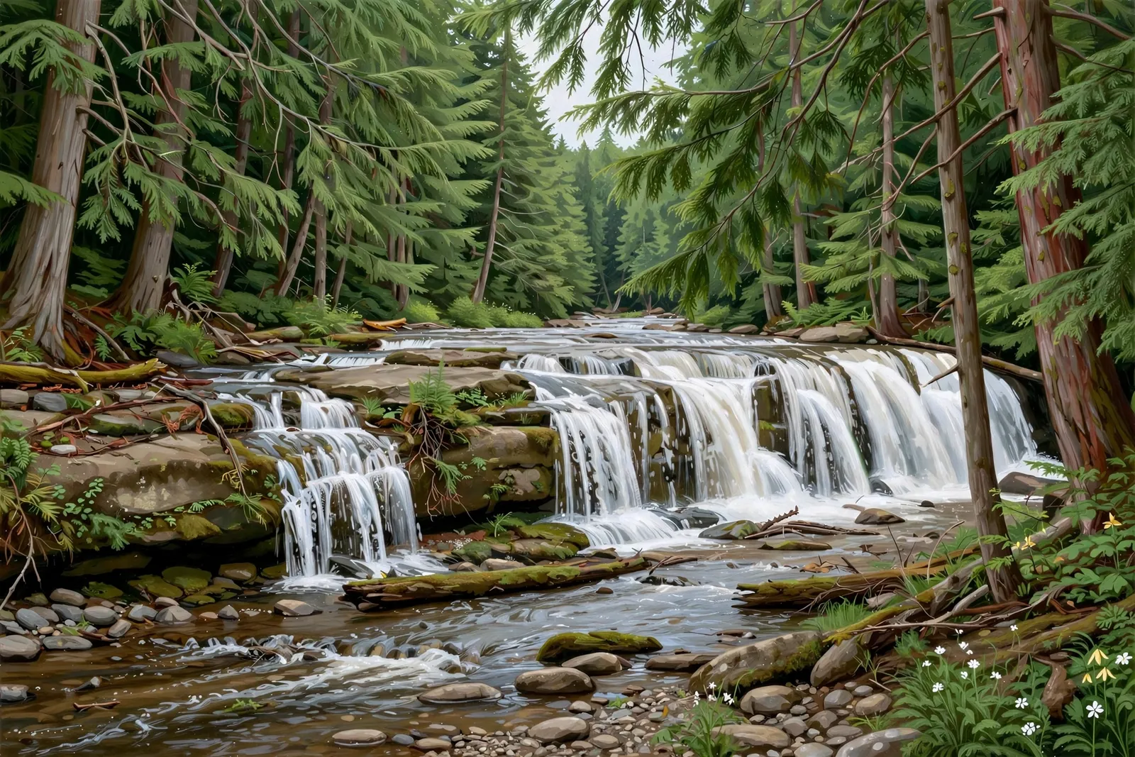
A wide, shallow five-foot cascade on the trout stream of the Jumbo River — an easy hundred-yard walk into old-growth cedar and hemlock.
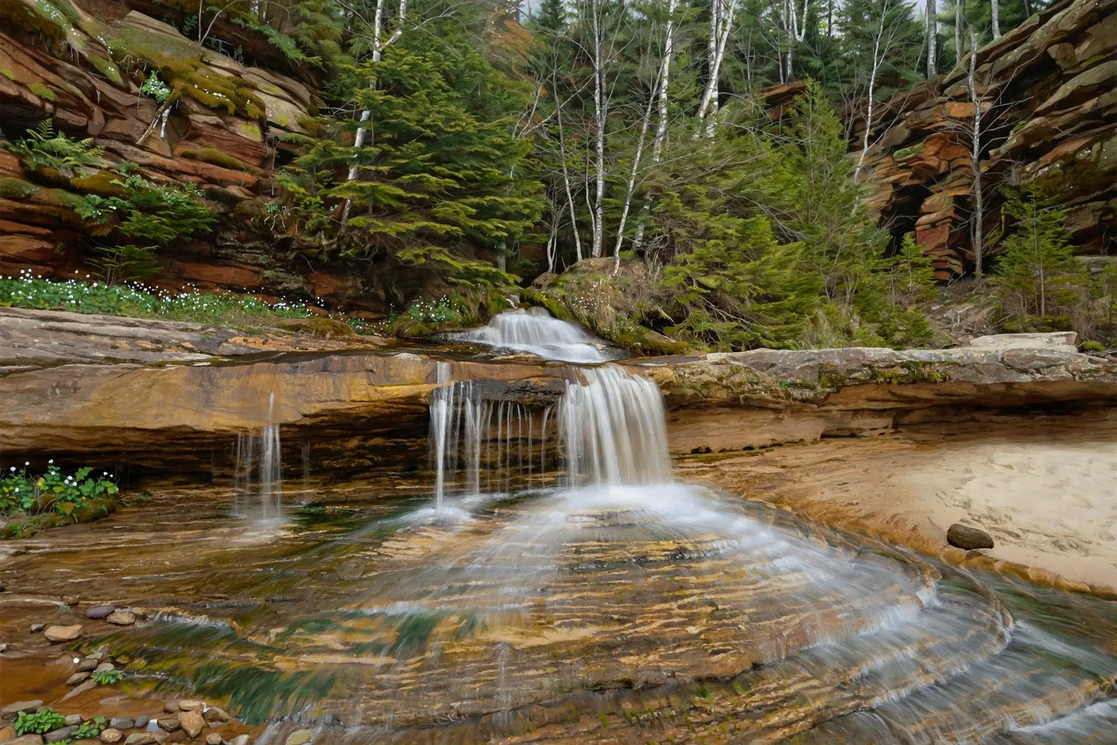
A small sandstone slide of about 2 feet on Onion Creek near the top of a sandstone gorge, reached by a walk across two meadows from Forest Road 1130.
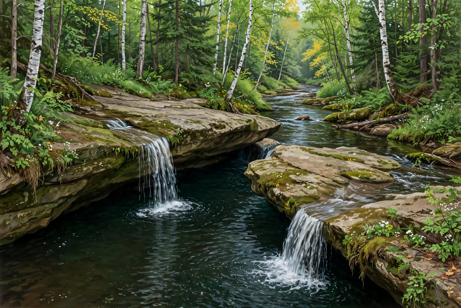
A set of rounded sandstone drops, about 10 feet in all, on the West Branch Otter River north of Alston, with no good public route.

A drop of about 10 feet into a sandstone scoop on the Sante River east of Toivola, also listed as Löytilä Falls, reached by a long walk on old logging roads.
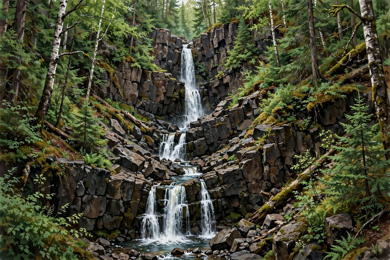
A tall, blocky cascade of about 30 feet on Slaughterhouse Creek just outside Copper City, reached by an unmarked dirt road and ATV trail.

A series of sandstone drops on Quincy Creek, about 15 feet in all, among old mining ruins near the former Quincy Mill.
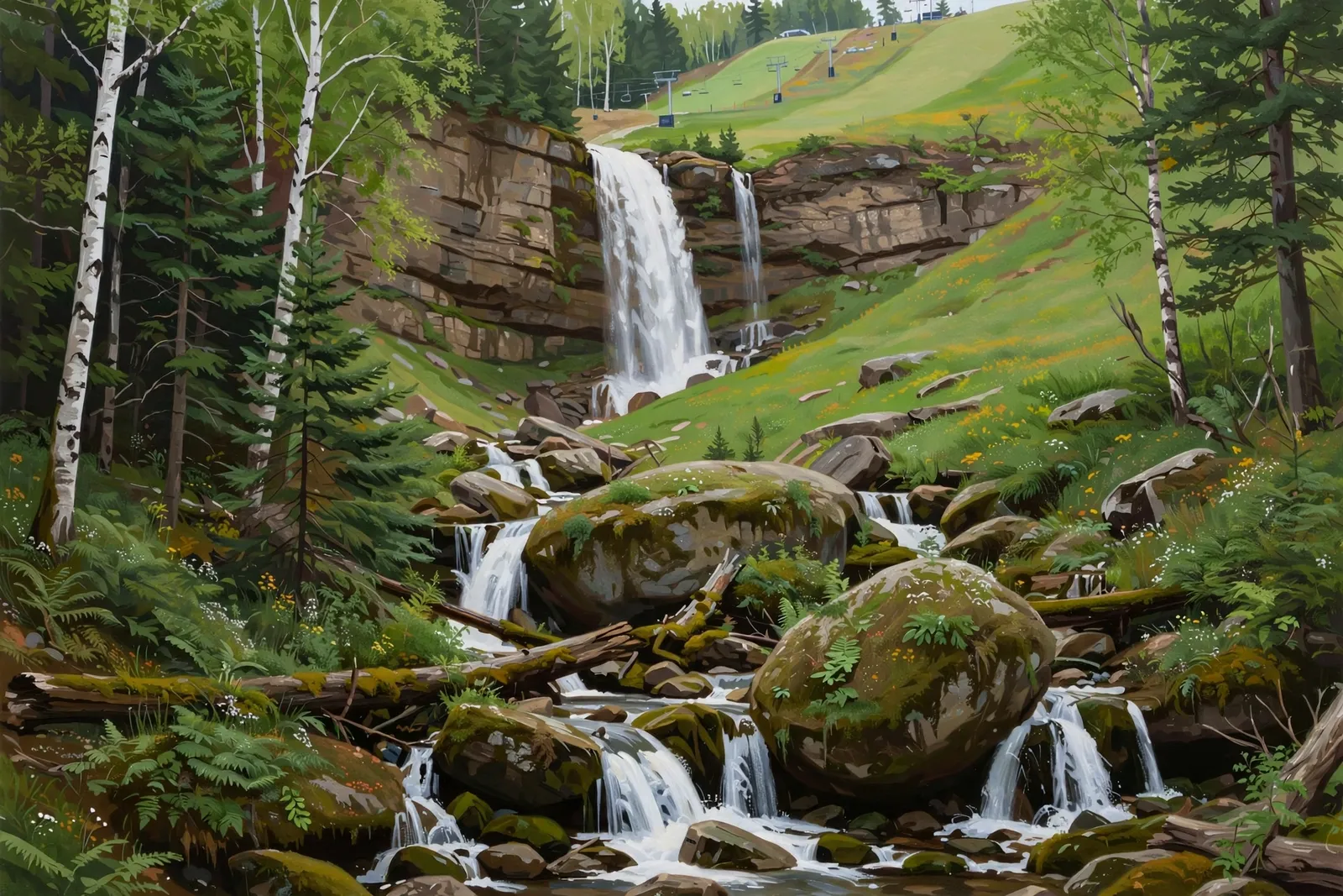
A seasonal creek of about ten drops, roughly 100 feet in all, tumbling down the side of Mont Ripley above Hancock.

A stretch of rapids on the East Branch of the Ontonagon River, reached by a path from the Sparrow Rapids Campground in the Ottawa National Forest.

A small three-tiered falls of about 11 feet in total on St. Louis Creek above an old railroad grade near Lake Linden; the creek runs mostly in spring melt.

A cascading 10-foot drop on a remote section of the West Branch Sturgeon River in the Ottawa National Forest, reached by a gated forest road.
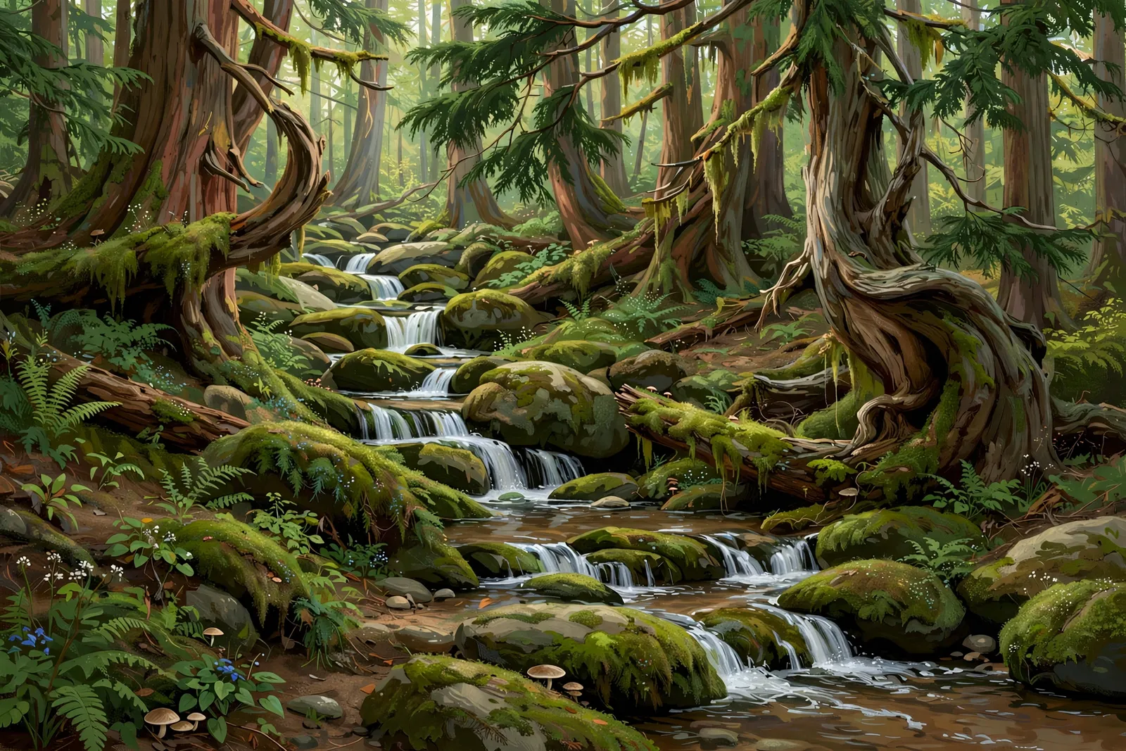
A two-drop falls of about 10 feet in total on the Misery River near Twin Lakes, downstream of a set of ponds beside the Wyandotte Hills Golf Course.
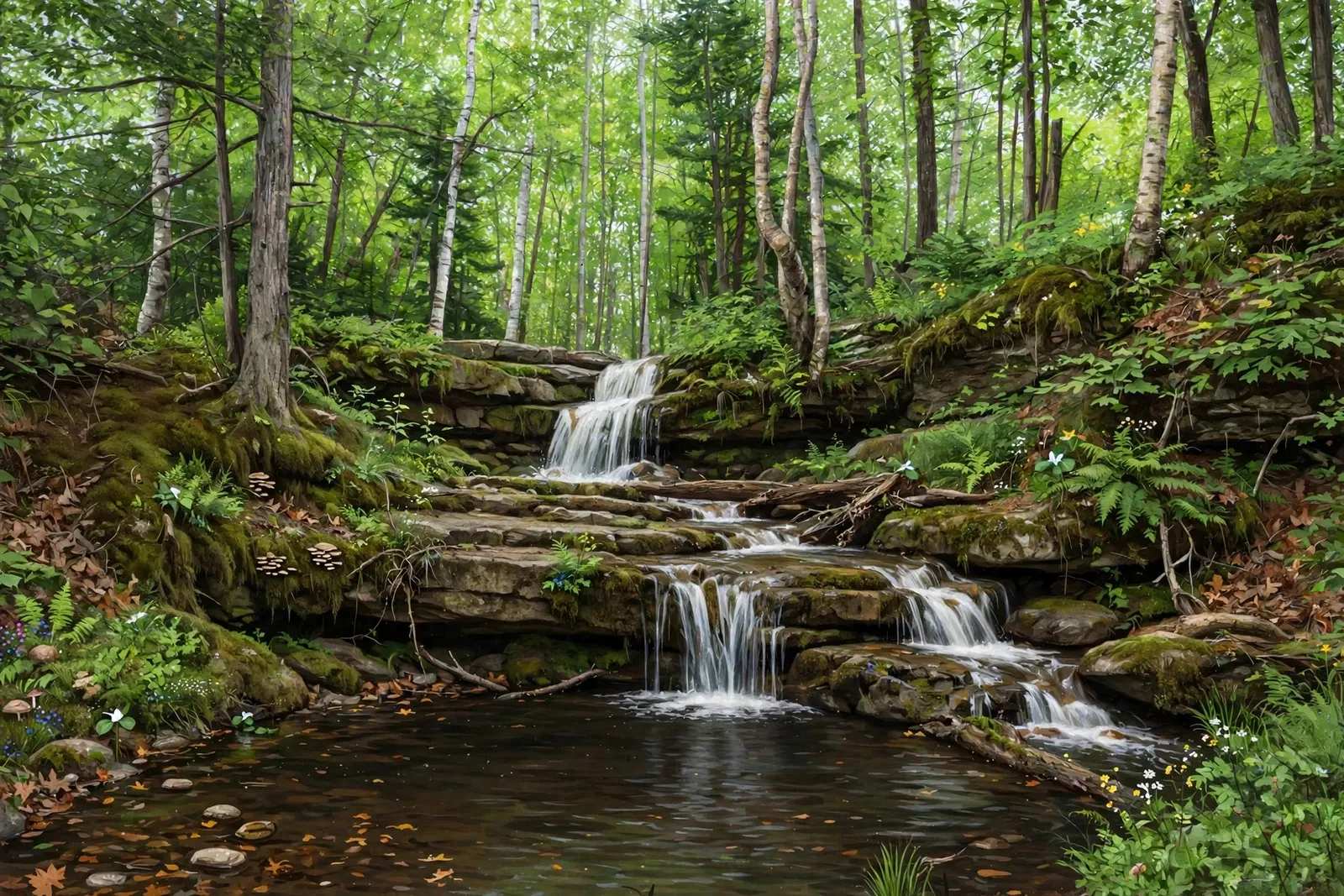
A secluded 20-foot slide falls on a small forest creek a few miles from Bewabic State Park — an easy half-mile walk through the Crystal Falls State Forest Area.

Three small waterfalls in quick succession on the Jumbo River in the Ottawa National Forest — reached by an unmarked trail with a footbridge and some bushwhacking.

A secluded falls on Margeson Creek northeast of Crystal Falls — a mile’s walk through the woods, with the first stretch crossing private land.

A 15-foot spillway cascade at the 1943 Peavy Falls hydroelectric dam on the Michigamme River — best viewed from public roads, since the dam and gorge are private utility land.

A series of eight small drops, about 120 feet in total, in a conglomerate gorge on Eister Creek below Gratiot Bluff, strongest in spring melt.
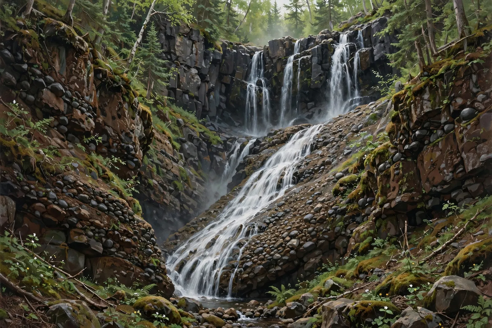
A two-drop, 15-foot falls in a deep conglomerate gorge on the Eagle River — on private property, so do not visit without permission.

A gentle 20-foot slide over rough conglomerate rock in a small roadside park at Lac La Belle — one of the Keweenaw’s easiest waterfall stops, with a picnic pavilion.
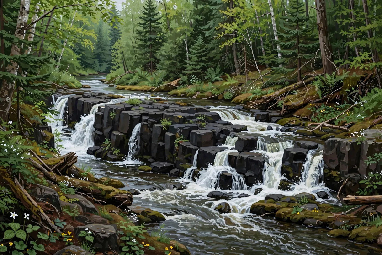
The Gratiot River’s two blocky basalt drops deep in the Allouez Township woods — a conservancy waterfall reached by logging road, far from any crowd.
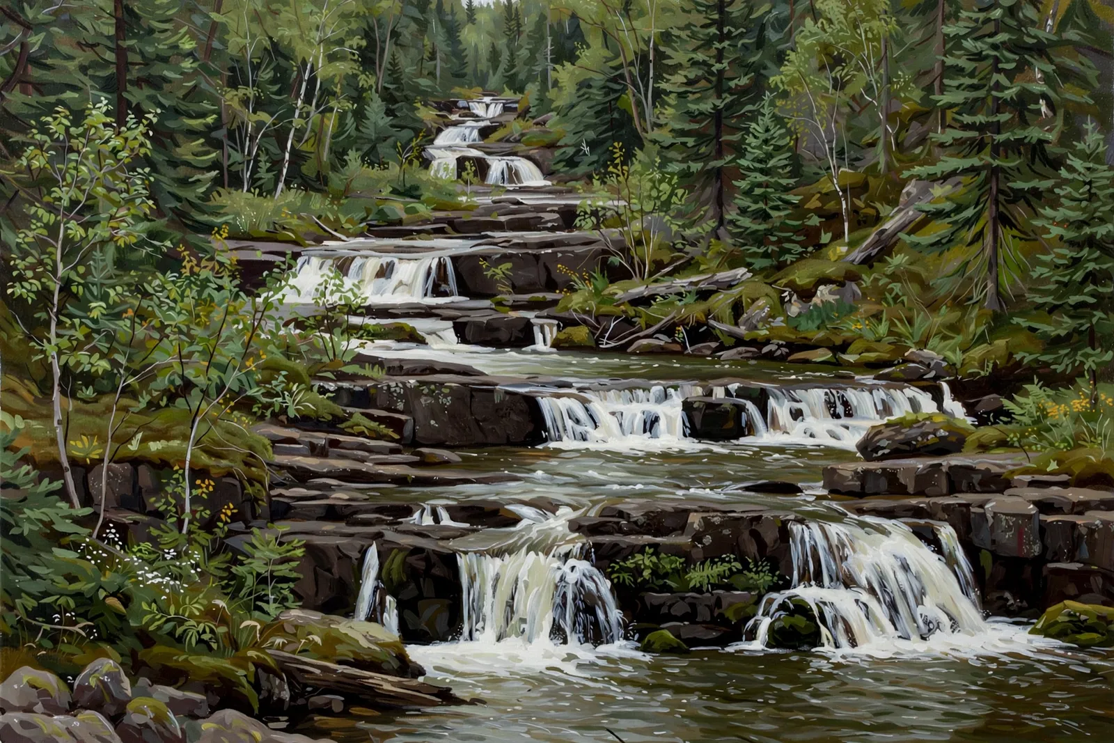
A long, gentle slide of foam over conglomerate rock upstream on the Gratiot — known locally as Conglomerate Falls, a conservancy oddity that slides more than it plunges.

A shy, tall waterfall hidden in a steep gorge just south of Copper Harbor — peer into the gorge from the viewing platform and hike below for the best look.
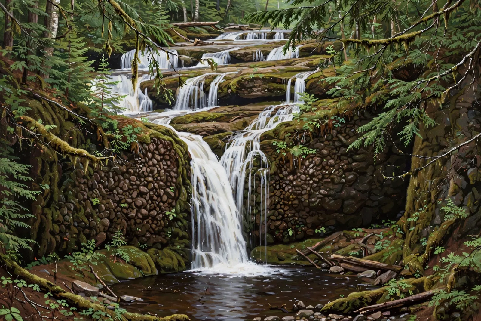
A small, scenic plunge of about 4 feet over mossy conglomerate into a deep pool on Silver Creek near Eagle River, with taller, gentler drops above.

Wide, smooth slides over conglomerate above jagged basalt drops — an easy roadside stop off M-26 between Eagle Harbor and Brockway Mountain.
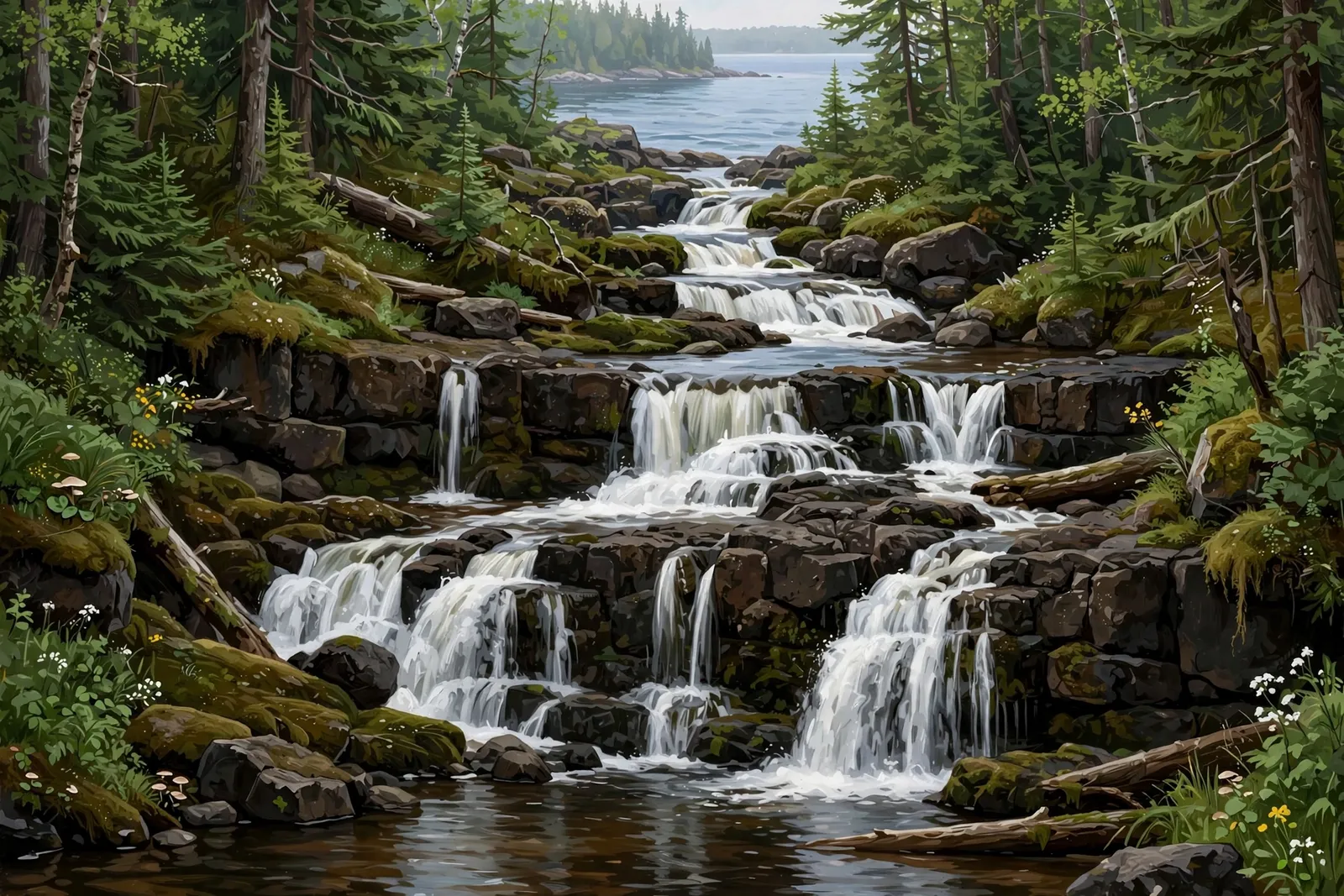
A wild, remote drop on Isle Royale in Lake Superior — reachable only by water or backcountry travel inside a national park.

The shortest named drop on the Eagle River near Phoenix — a jumbled roadside cascade you can see from the car.

A tiny series of stepping drops, about 1 foot in total, where the Tobacco River reaches Lake Superior at a small lakeshore park just north of Gay.
Seven falls on private or posted land: what is known about each, why not to trespass, and public waterfalls to visit instead.
When the falls run strong, what to expect by season, and new guides as we publish them. A short email every week or two. What is inside
Free. We never sell your email, and every message has an unsubscribe link. Sent with MailerLite. Privacy